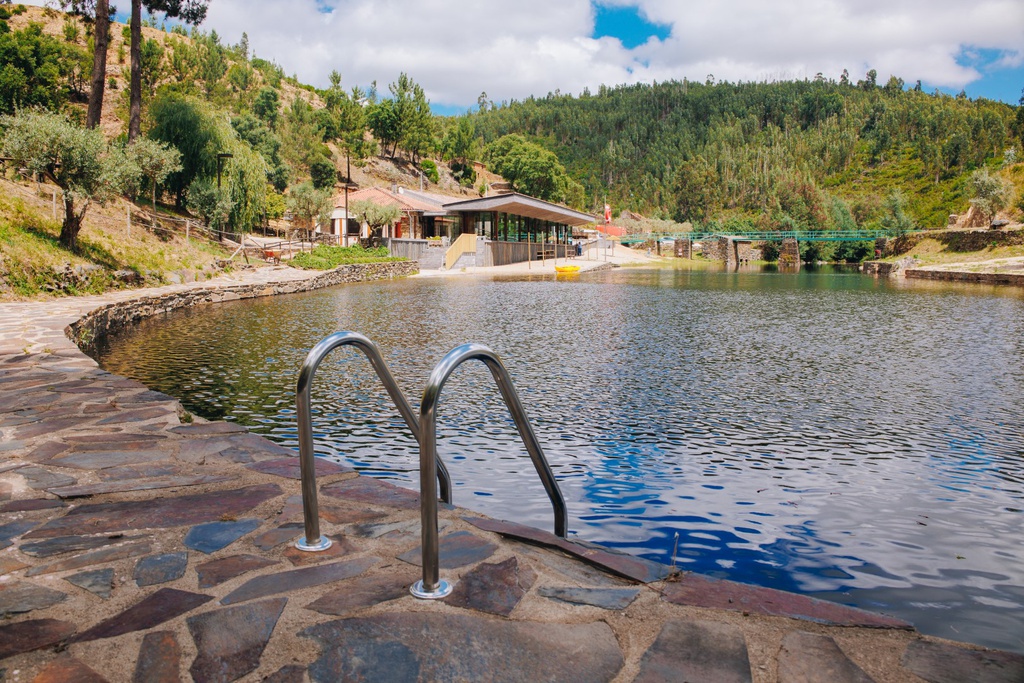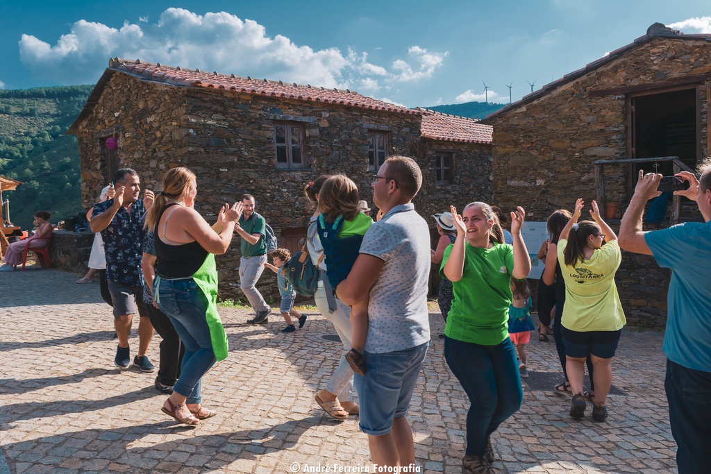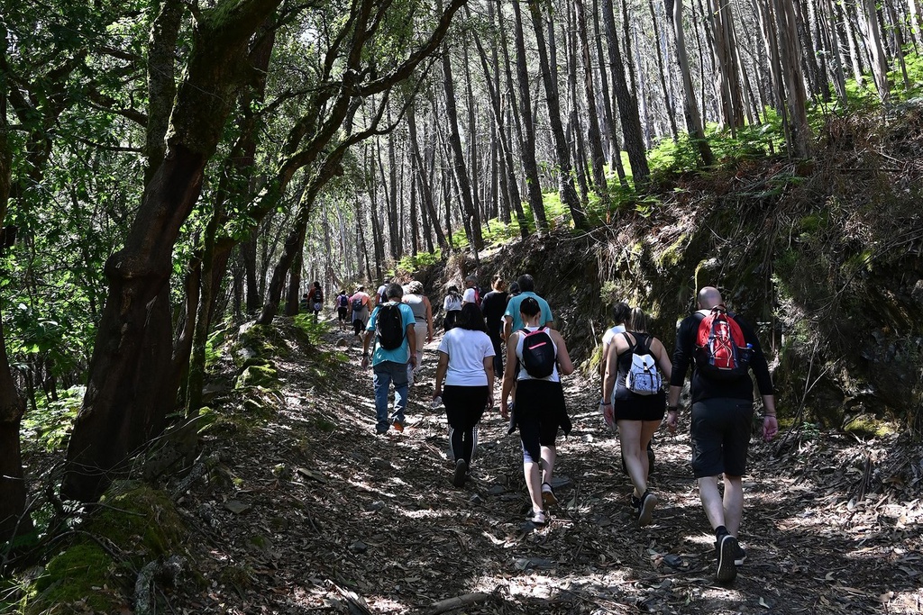
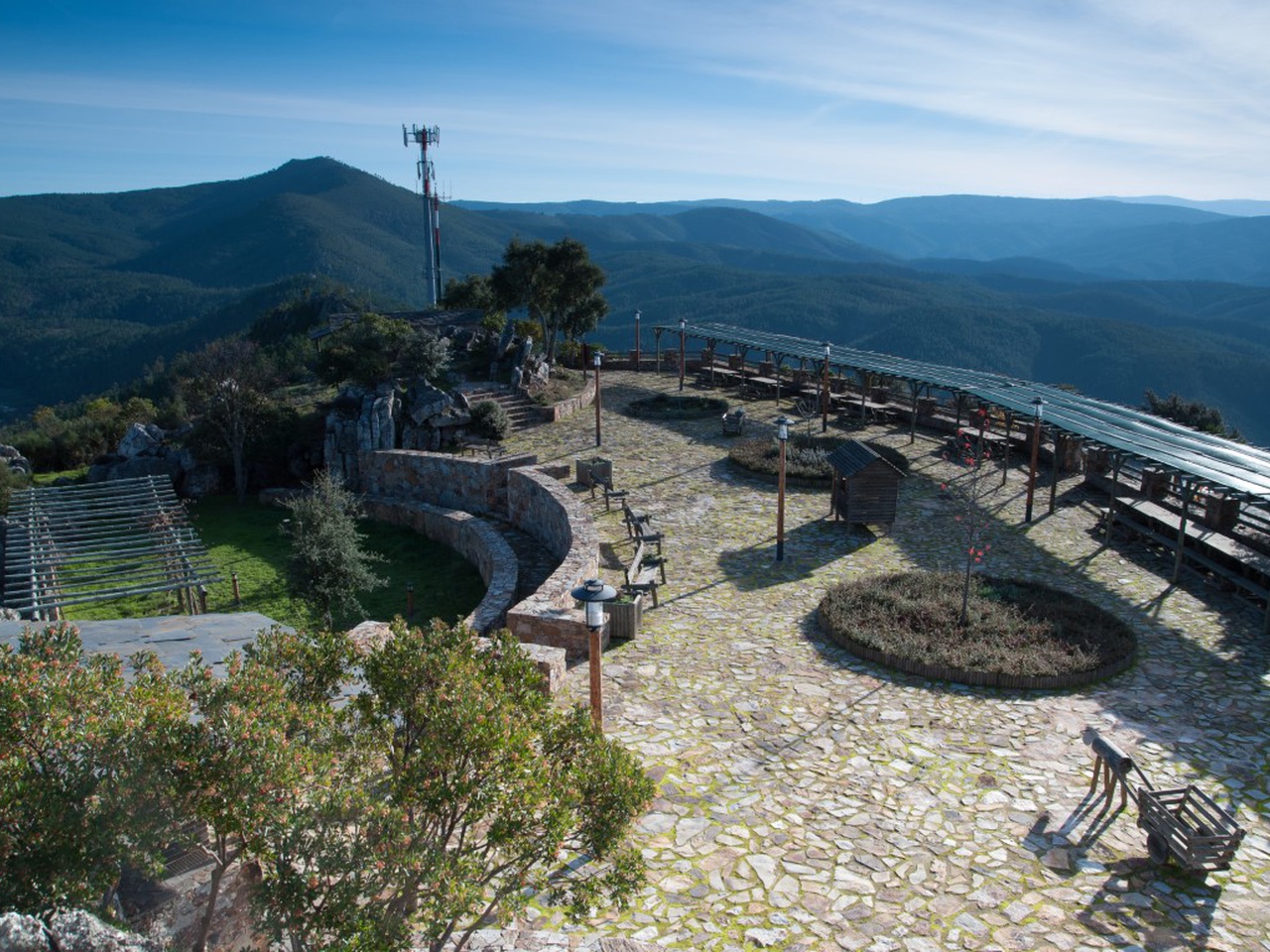
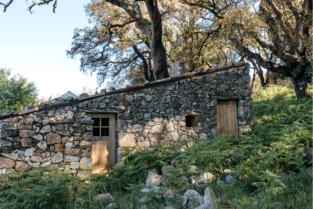
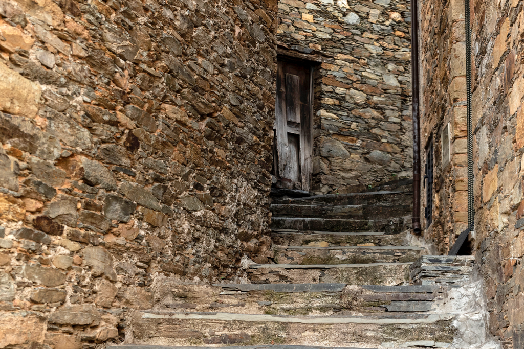
The Aldeias do Xisto area is distinguished because of the landscape’s heritage features of the landscape that it offers its visitors. This comparative advantage translates into a networked infrastructure that allows the landscape to be enjoyed in various locations in a safe, comfortable and educational way. A number of viewpoints enable this possibility.
Here, we would like to highlight and describe 17 of the existing viewpoints, some of which are very informal.
Note: The landscape reader always reads in a clockwise direction.
Barragem de Santa Luzia(left bank)
- Location: Pampilhosa da Serra, on the left bank of the dam, next to the road
- GPS: 40º05'16''N; 7º51'25'’W
- Altitude: 720 m
- Type: Formal
- Orientation: NW
- Angle of vision: SE to E
- Landscape reader:
NW: Serra do Vidual with pronounced quartzite crest
N: Açor Mountain, with the height line that joins the Serra do Vidual to Cebola
NE: Açor Mountain (Cebola, 1418 m) and Serra da Estrela (Torre, 1993 m)
Barragem de Santa Luzia (right bank)
- Location: Pampilhosa da Serra, on the right bank of the dam, next to the Chapel of Stª Luzia.
- GPS: 40º05’28’’N; 7º51’36’’O
- Altitude: 697 m
- Type: Formal
- Orientation: NE
- Angle of vision: N to W
- Landscape reader:
N: Açor Mountain, with the height line that joins the Serra do Vidual to Cebola
NE: Açor Mountain (Cebola, 1418 m) and Serra da Estrela;
E: Serra da Gardunha (1227 m)
- Location: In Casal Novo, at the end of the village, in the space of the old threshing floor.
- GPS: 40º05’33’’N; 8º14’09’’O
- Altitude: 510 m
- Type: Informal
- Orientation: NW
- Angle of vision: W to E
- Landscape reader:
NW: Panorama over Lousã
E: Lousã Mountain, Trevim (1204 m)
Colcurinho - N.ª Sr.ª das Necessidades
- Location: From Aldeia das Dez we go up to the Sanctuary of N.ª Sr.ª das Preces. From there to the top where the Chapel of Nossa Senhora das Necessidades is located.
- GPS: 40º15’59’’N; 7º49’33’’O
- Altitude: 1242 m
- Type: Informal
- Angle of vision: 360º
- Landscape reader:
N: Beirão plateau, making out Mangualde, Nelas, Viseu and Oliveira do Hospital
NE: Seia and Loriga
E: south-west and south flank of Serra da Estrela, making out Alvoco da Serra
S: Açor Mountain (S. Pedro do Açor and Cebola)
SW: Lousã Mountain
W: Arganil and on the horizon Serra do Buçaco
NW: Serra do Caramulo and Serra de Montemuro; Tábua, Vila Pouca da Beira and Aldeia das Dez
“...a vast panorama is covered, with the whole plateau up to S. Pedro Dias and the western mass of the Estrela mountain range, framed by the Loriga gorge. You can see villages, you feel the whole mountain range so close to us and so desolate that it is impossible to look at it deeply without a feeling of curiosity that is also a feeling of love
Alberto Martins de Carvalho in “Guia de Portugal - Beira Litoral, Beira Baixa, Beira Alta” (1944)
Gondramaz(non the access)
- Location: On the access from Miranda do Corvo to the Aldeia do Xisto Gondramaz
- GPS: 40º04'46''N; 8º17'28'’W
- Altitude: 325 m
- Type: Formal
- Orientation: W
- Angle of vision: S to N
- Landscape reader
S: some higher points in the N part of the Serra de Sicó limestone massif
W: Miranda do Corvo
NW: Senhor da Serra: Serra de São Pedro Dias; Serra de Sacões/Lousã Mountain
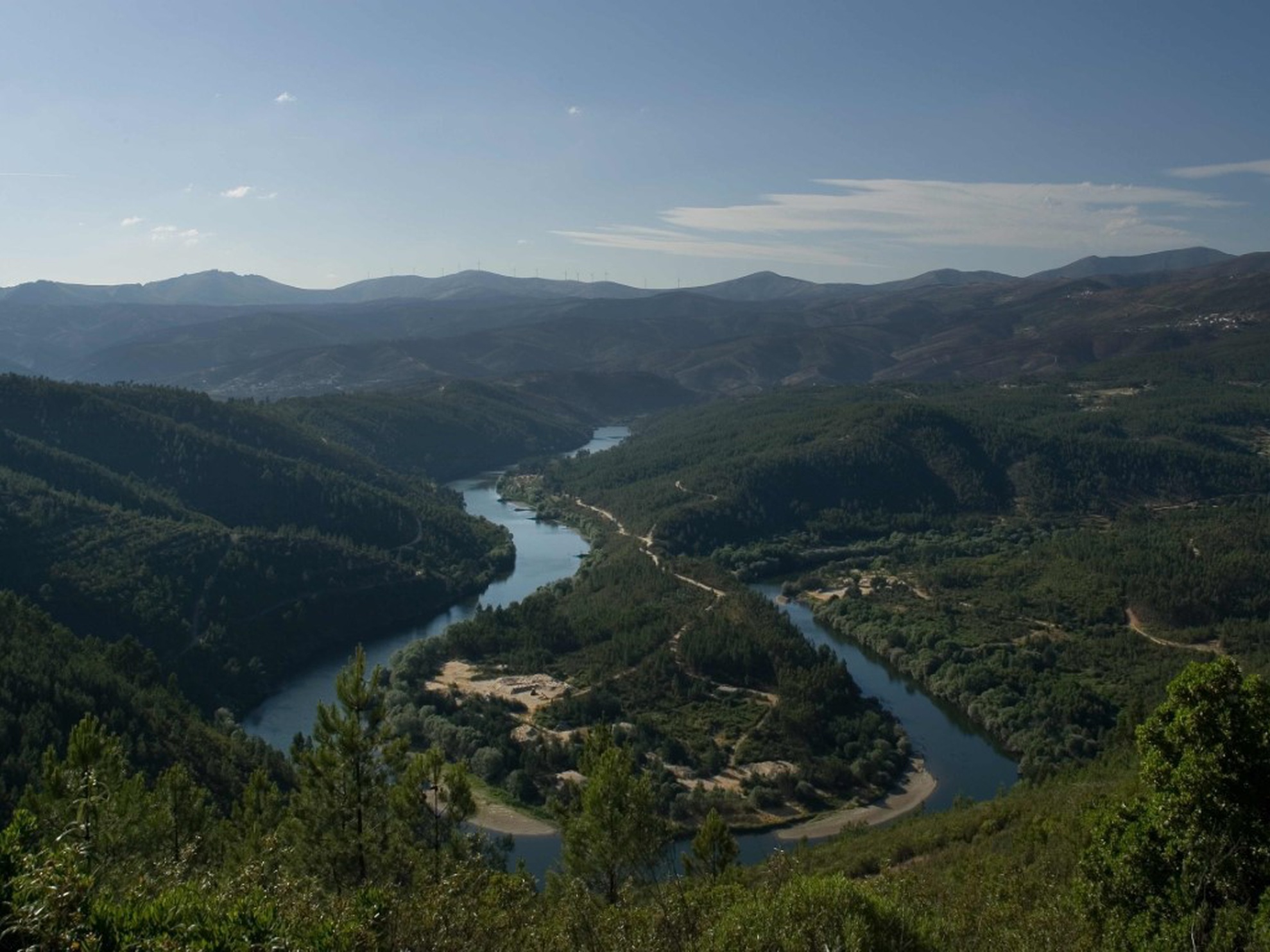
- Location: On the EN238 (km 105), near the turn-off to Janeiro de Cima
- GPS: 40º03'41''N; 7º46'09'’W
- Altitude: 552 m
- Type: Formal
- Orientation: NW
- Angle of vision: SW to NE
- Landscape reader
Special panorama onto the so-called Meanders of Zêzere
W: Serra do Vidual
N: Highest points of Açor Mountain (Cebola) Serra da Estrela, particularly the glacial valley of Alforfa (Unhais)
Corgas Geomorphological Viewpoint
- Location: From Proença-a-Nova with access from the EN351 to Oleiros, turning left at the top of the first big climb
- GPS: 39º47’48’’N; 7º53’45’’W
- Altitude: 850 m
- Type: Informal
- Angle of vision: 360º
- Viewpoint included in the Naturtejo Geopark
- Landscape reader:
N: Serra de Alvelos (Cabeço da Rainha, 1084 m)
SE: the double quartzite crest of the Serra das Talhadas
- Location: County of Figueiró dos Vinhos, near the access to the River Beach of Fragas de S. Simão, on the left bank of the Ribeira de Alge
- GPS: 39º54’53’’N; 8º18’59’’W
- Altitude: 310 m
- Type: Formal
- Orientation: North
- Angle: 270º
- Landscape reader:
W: the Aldeia do Xisto Casal de São Simão
N: Fragas de São Simão and at the bottom of the valley the course of the Ribeira de Pera
NE: the IC8 bridge and on the horizon the Lousã Mountain
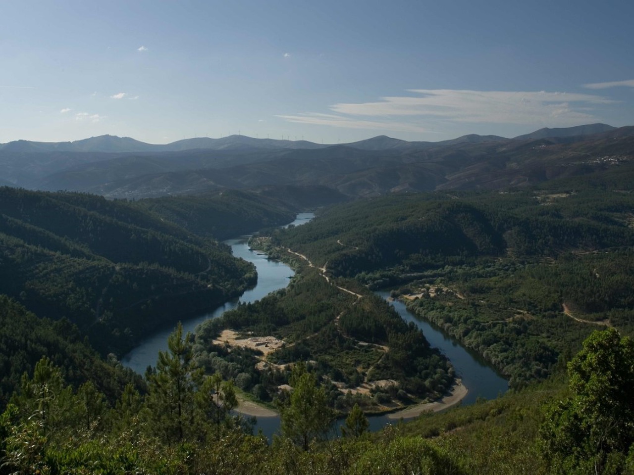
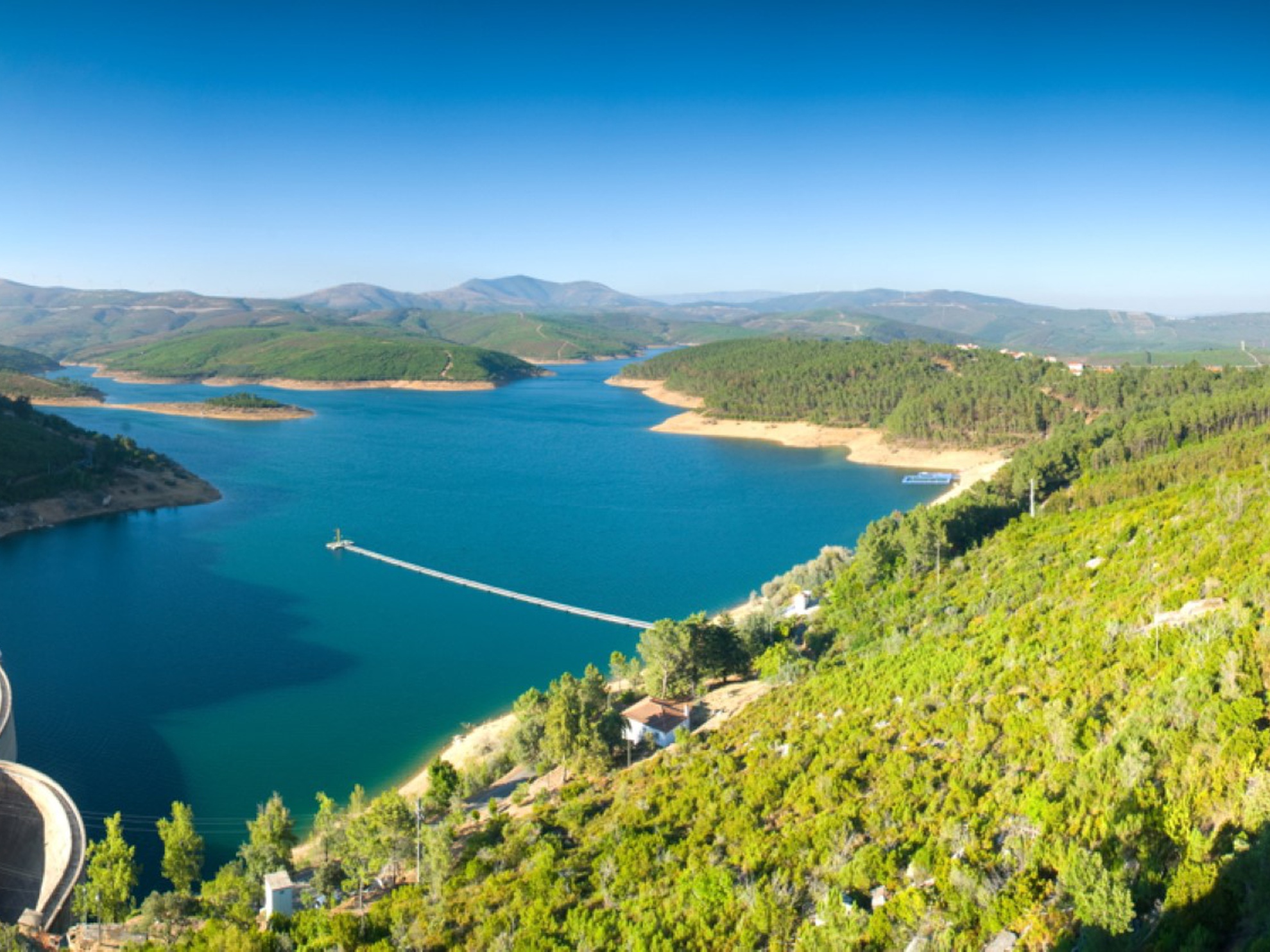
Nossa Senhora da Confiança Viewpoint
- Location: Monte de Nª Srª da Confiança, Pedrógão Pequeno. GPS: 39º54’42’’N; 8º07’50’’W
- Altitude: 435 m
- Type: Informal
- Orientation: West
- Angle: SW to NE
- Landscape reader:
In front of us, below, the slope of the right bank of the embedded valley of the Zêzere ,called Cabril do Zêzere, crossed by a stretch of the EN2 until the Barragem do Cabril, from which we can take in an extensive view of the lake.
SW: Chapel of N.ª Sr.ª dos Milagres
W: Pedrógão Grande (on the left, the Clock Tower and on the right the Parish Church tower)
NE: quartzite scarps near Ferraria de São João;
N: Lousã Mountain (Trevim)
NE: Açor Mountain
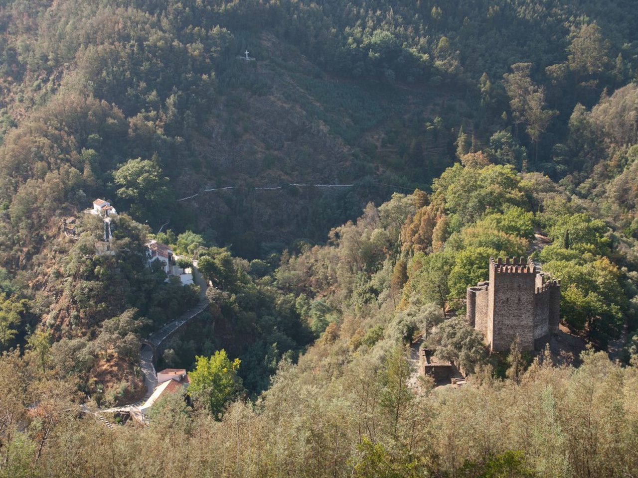
Nossa Senhora da Piedade Viewpoint
- Location: On the EN236, between Lousã and Candal
- GPS: 40º06’08’’N; 8º14’05’’W
- Altitude: 365 m
- Type: Formal
- Orientation: S
- Angle: SE to W
- Landscape reader:
Special view of the Sanctuary of Nª Srª da Piedade and Lousã Castle. On the hillside, you can see the Aldeias do Xisto of Casal Novo and Talasnal.
- Location: On the access road to Chiqueiro
- GPS: 40º05’14’’N; 8º14’08’’W
- Altitude: 680 m
- Type: Informal
- Orientation: N
- Angle of vision: 180º from W to E
- Landscape reader:
NW: Senhor da Serra
N: Lookout post in Poiares; Penacova; Serra do Buçaco;
NE: Serra do Caramulo; Serra de Montemuro
With picnic area and water.
- Location: In Orvalho, near the junction of the EN112 and the EN238
- GPS: 40º01’44’’N; 7º48’10’’W
- Altitude: 627 m
- Type: Formal
- Angle: 360º
- Orientation: NE
- Landscape reader:
N: Açor Mountain; Aldeias do Xisto of Janeiro de Baixo and Janeiro de Cima
NE: Serra da Estrela
E: Orvalho
SE: Cabeço da Rainha
W: Serra de Alvelos
NW: Lousã Mountain and the Zêzere River valley
Picnic park. Children’s playground. Sanitary facilities. Information on the Naturtejo Geopark. PR3 OLR - Orvalho GeoRoute.
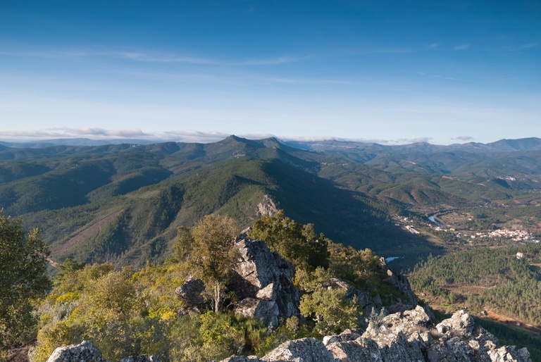
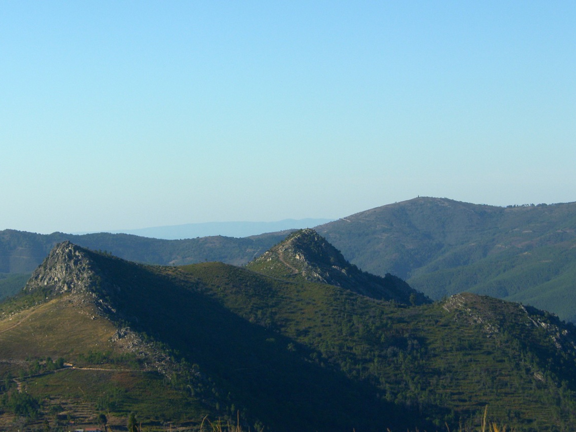
Penedos de Fajão (quartzite scarps)
- Location: At any of the highest points of the Penedos do Fajão
- GPS: 40º09’33’’N; 7º55’47’’W
- Altitude: above 800 m
- Type: Informal
- Angle of vision: 360º
- Landscape reader:
NE: Açor Mountain (São Pedro do Açor) and the south-eastern flank of the Serra da Estrela
E: Serra do Açor (Cebola)
SW: Serra do Açor (Serra do Vidual)
W: Lousã Mountain (Santo António da Neve and Trevim) and Penedos de Góis
NW: Serra do Açor (Serra da Aveleira)
On a calm late afternoon, when not even a breeze disturbs the most fragile plants, sitting on one of the rocks at the top of Penedos do Fajão, we feel that the silence takes us back to the dizzying plunge of the sun into the sea of mountains that surrounds us.
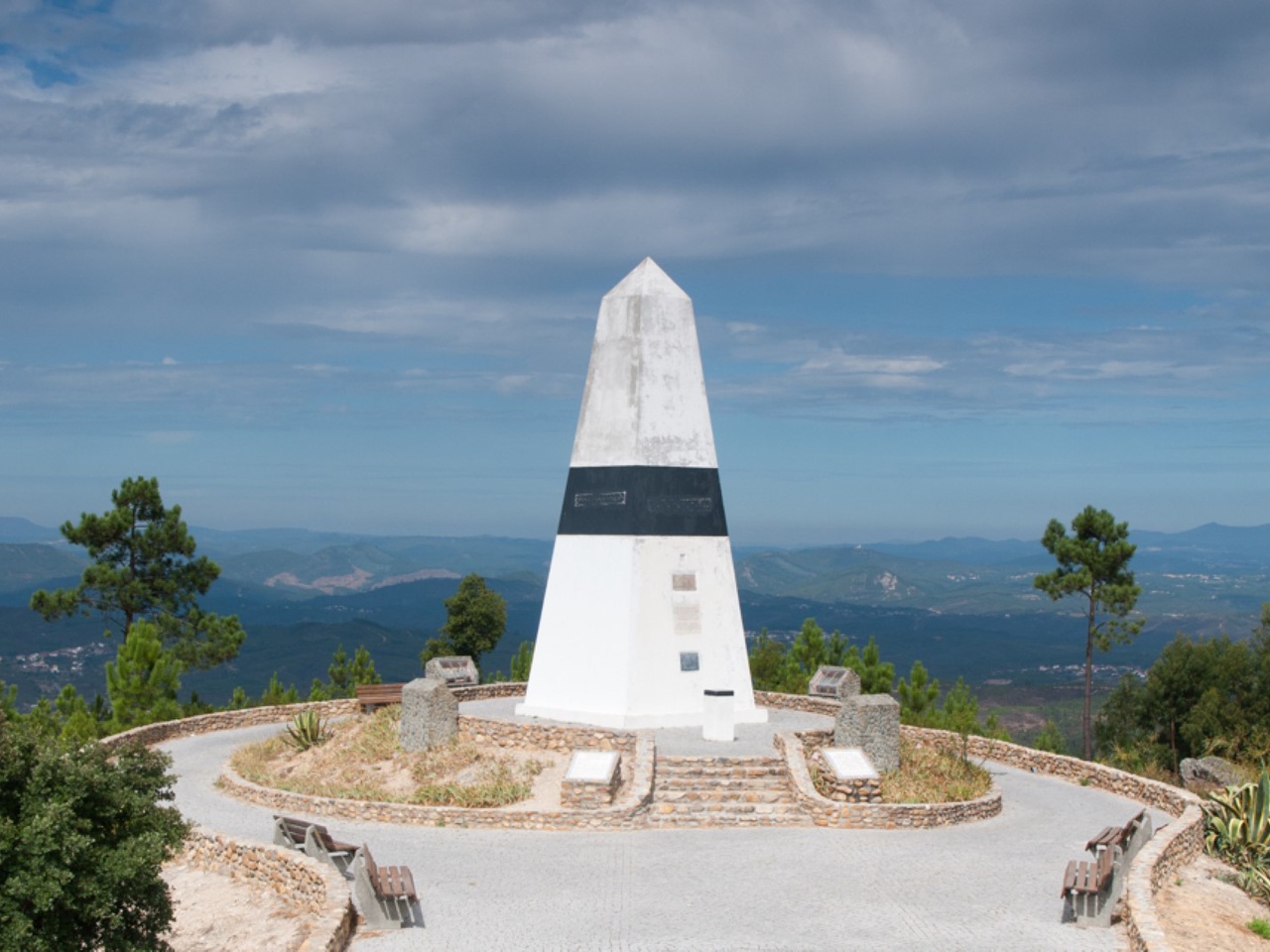
- Location: At the Portugal Geodetic Centre, 3km north of Vila de Rei, next to the EN2
- GPS: 39º41’39’’N; 8º07’48’’W
- Altitude: 580 m
- Type: Formal
- Angle of vision: 360º
- Landscape reader:
North: Lousã Mountain (Trevim), Santo António da Neve and Penedos de Góis); Açor Mountain (Cebola); Serra da Estrela;
NE: Serra de Alvelos
E: Estreito. Serra das Talhadas (Gavião de Ródão); Capela de Santo António (Cardigos)
SE: Serra da Amêndoa (Amêndoa e Mação); Serra do Bando
S: Pego Thermoelectric Power Plant
SW: Abrantes
W: Serra de Aire e Candeeiros
NW: Serra de Alvaiázere. Figueiró dos Vinhos
With a 1st order geodesic marker. Picnic park. Geodesy Museum.
- Location:Sarzedas, bell tower next to the Parish Church.
- GPS: 39º51’01’’N; 7º40’58’’W
- Altitude: 400 m
- Type: Informal
- Angle: 360º
- Landscape reader:
N: Estrela Mountain
NE: Gardunha Mountain
W: Talhadas Mountain
E: Castelo Branco
SE: Portas de Ródão Natural Monument.
Picnic park.
The backdrop of mountains close the horizon to the NW, is resplendent. The land, with few crops and little tree cover, allows the relief to be seen in all its purity. They are the highlands of the central mountain range, with Estrela in the distance that suddenly drops into the lowlands. A long quartzite ridge thus ends, and seen close up it resembles a volcanic cone; it is the Picoto de Moradal, steep, rough, with a hard jagged profile above the rounded schist hills.”
Orlando Ribeiro in “Guia de Portugal - Beira Litoral, Beira Baixa, Beira Alta” (1944)
- Location: On the EN236, between Lousã and Candal.
- GPS: 40º06’18’’N; 8º14’30’’W
- Altitude: 315 m
- Type: Formal
- Orientation: NW
- Angle: SW to N
- Landscape reader:
Special view over Lousã
- Location: On the EN230, between Vila Pouca da Beira and Ponte das Três Entradas
- GPS: 40º17'59''N; 7º54'44'’W
- Altitude: 358 m
- Type: Formal
- Orientation: S
- Angle: 180º
- Landscape reader:
E: south-western flank of the Serra da Estrela
SE: altitude line of Açor Mountain, with Colcurinho
S: below, the valley of the River Alva and the valley of the Ribeira de Pomares which flows into it at Avô.
Picnic park.
Some other points - corresponding to informal viewpoints - can be added to this list:
- Trevim e Santo António da Neve (Lousã Mountain);
- São Pedro do Açor and Cebola (Açor Mountain);
- Cabeço Rainha (Serra de Alvelos).


![Irrigating Cova da Beira [GRZ - MTB Sector 2]](/media/filer_public/70/2b/702bc022-591a-4249-a792-769c31f667a2/aldeias-xisto-aldeias-xisto-irrigando_a_cova_da_beira_peso__barco_gr33_-_grz_etapa_6_ssc6w0b.jpg.1024x683_q95_crop_upscale.jpg)
![Mining Territory [GRZ - MTB sector 3]](/media/filer_public/55/7b/557b2251-626f-458d-97c4-76f96a6e4f7c/aldeias-xisto-aldeias-xisto-terra_mineira_c381rea_de_descanso_do_barco__cabec3a7o_do_pic3a3o_gr33_-_grz_etapa__mam9mil.jpg.1024x683_q95_crop_upscale.jpg)