Coordinates
GD: 40.299722 -7.912222
DMS: 40°17′59.0″N 7°54′44.0″W
UTM: 29T 592446 4461591

- Type: Formal
- Orientation: S
- Angle: 180º
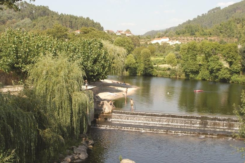
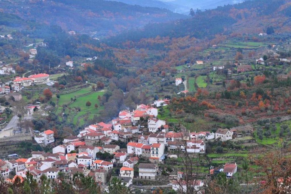
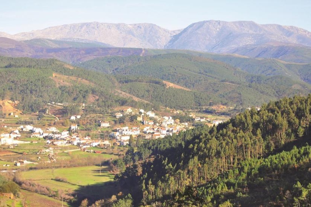
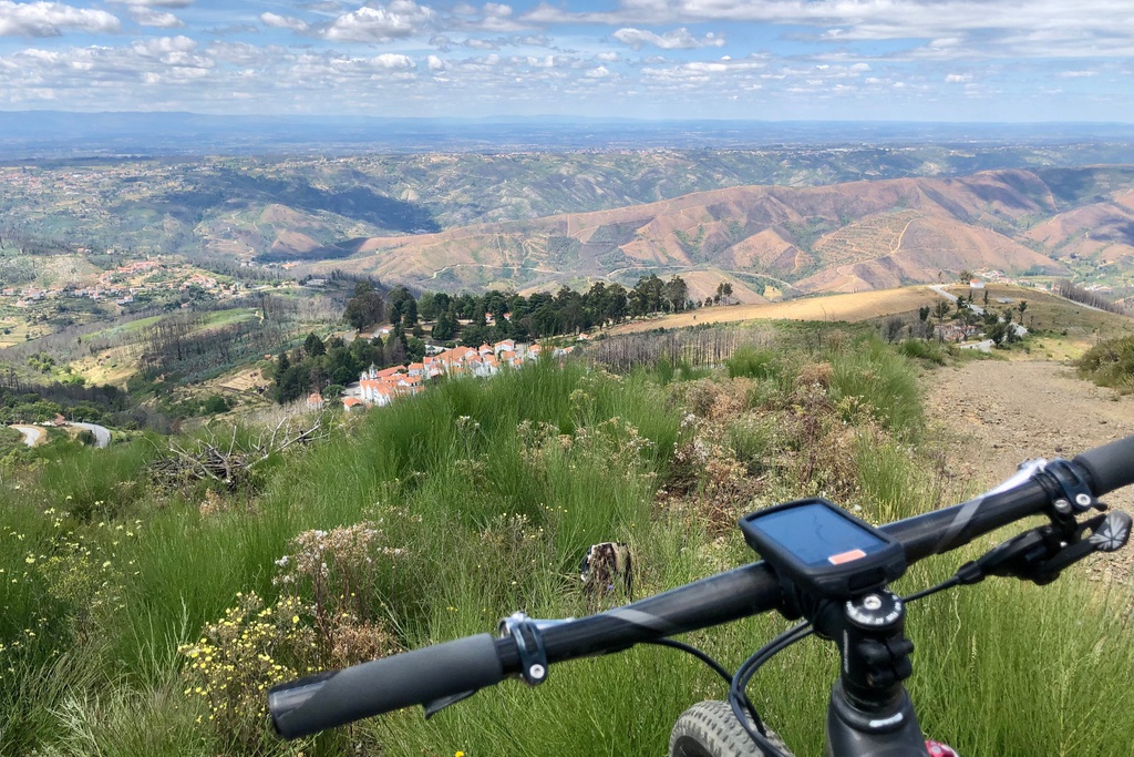
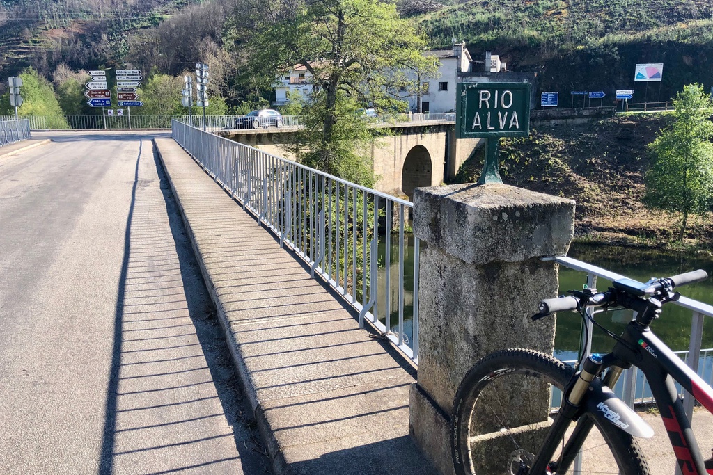
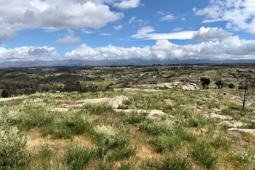
- Landscape reader: E: southwest flank of Serra da Estrela | SE: altitude line of Serra do Açor, with Colcurinho | S: below, the valley of the River Alva and the valley of the Ribeira de Pomares that flows to him in Grandfather
- Picnic park.
GD: 40.299722 -7.912222
DMS: 40°17′59.0″N 7°54′44.0″W
UTM: 29T 592446 4461591
