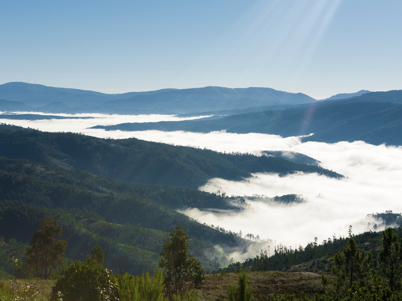
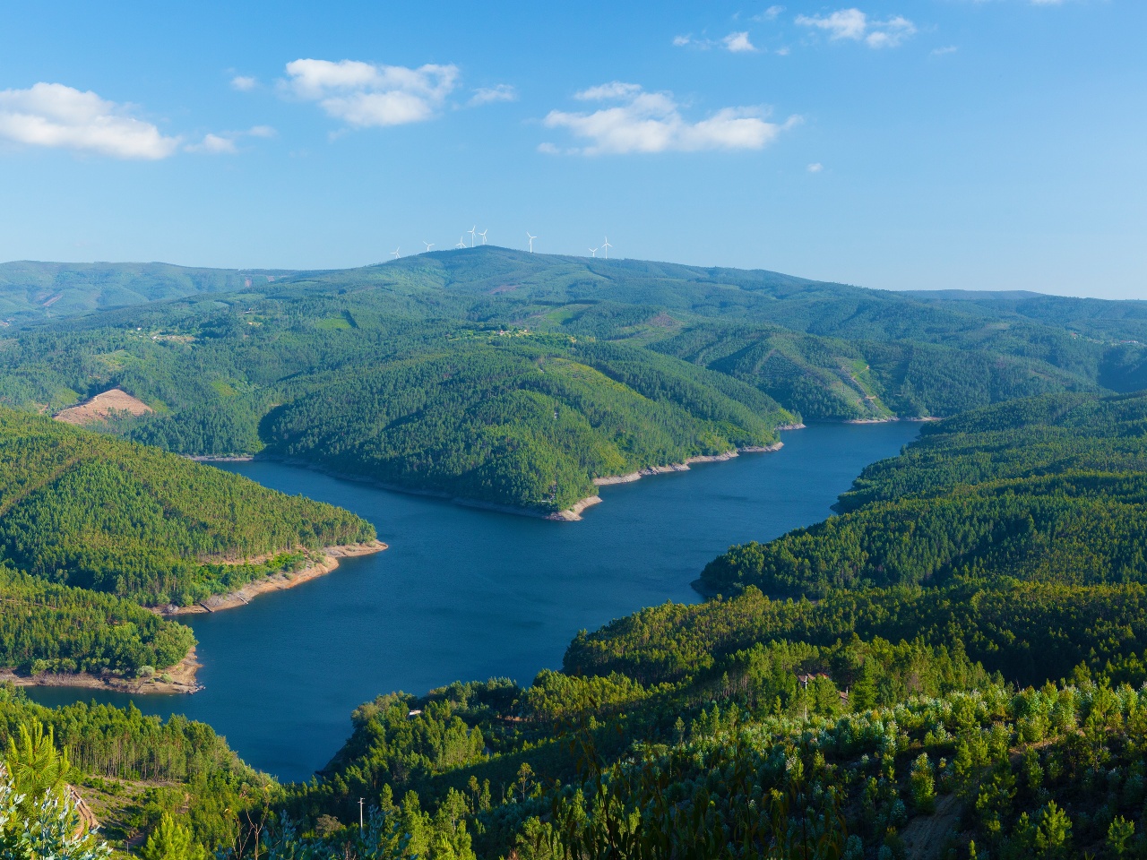
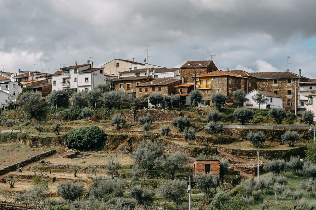
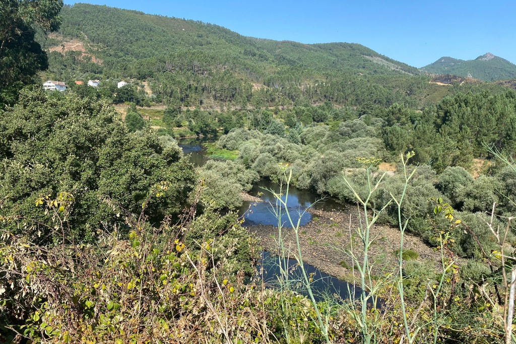
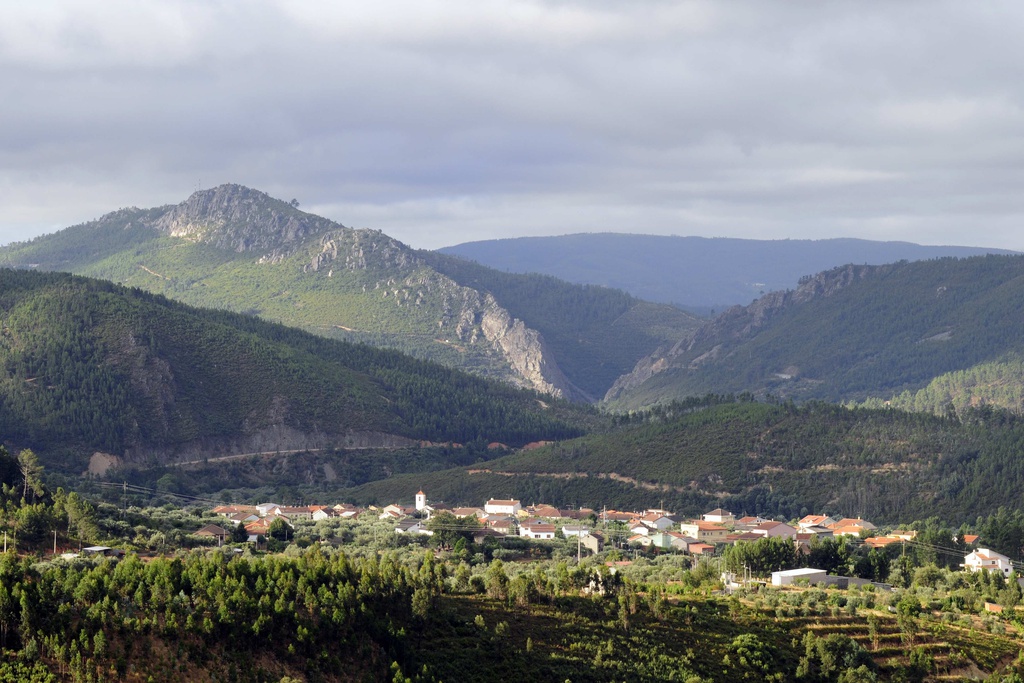
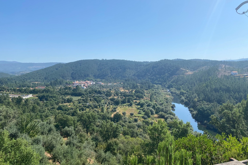
After descending the Serra da Estrela in agitated course, the Zêzere, already more serene, passes by Belmonte and Covilhã. From here, and almost until it flows into the Tagus River, in Constânica, after a course of about 248 km, it is fed, from both sides by the sea of mountains that frames the Schist Villages.
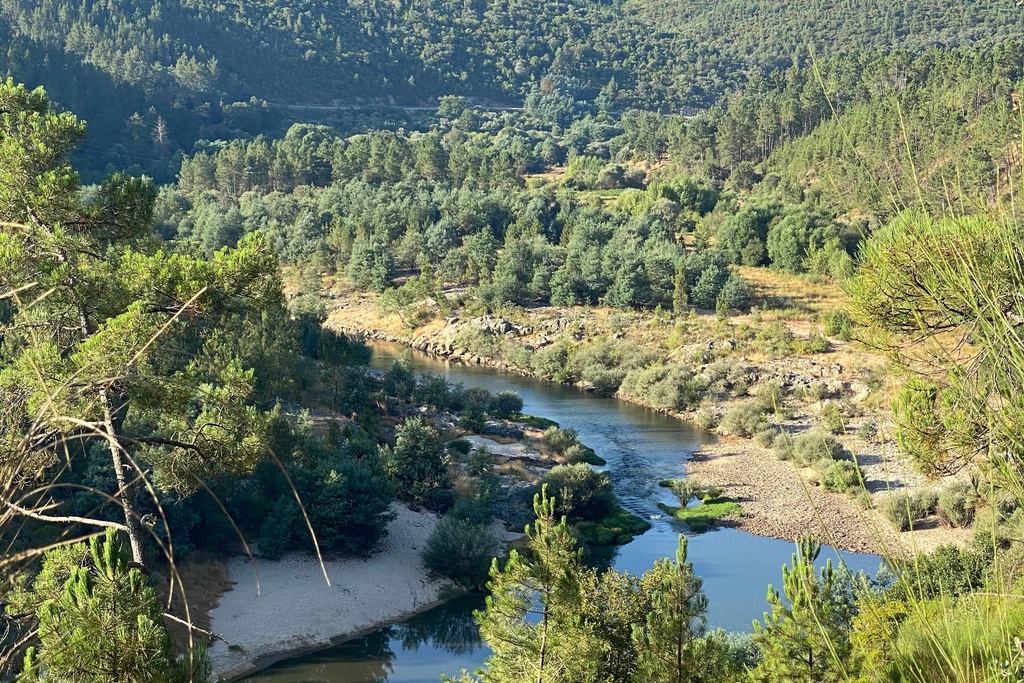
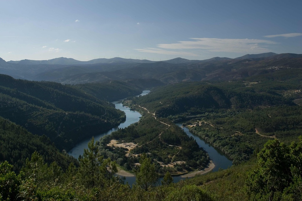
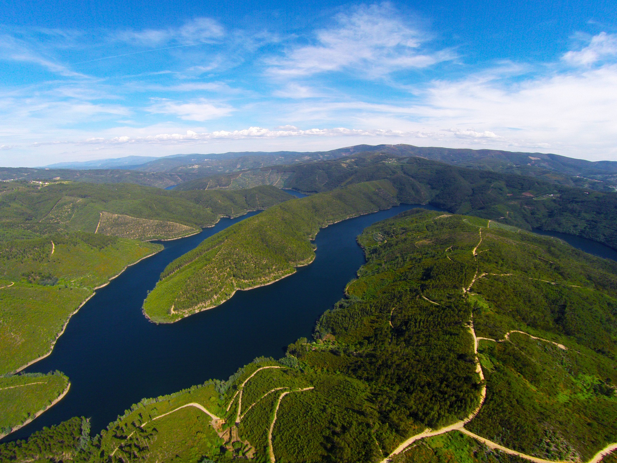
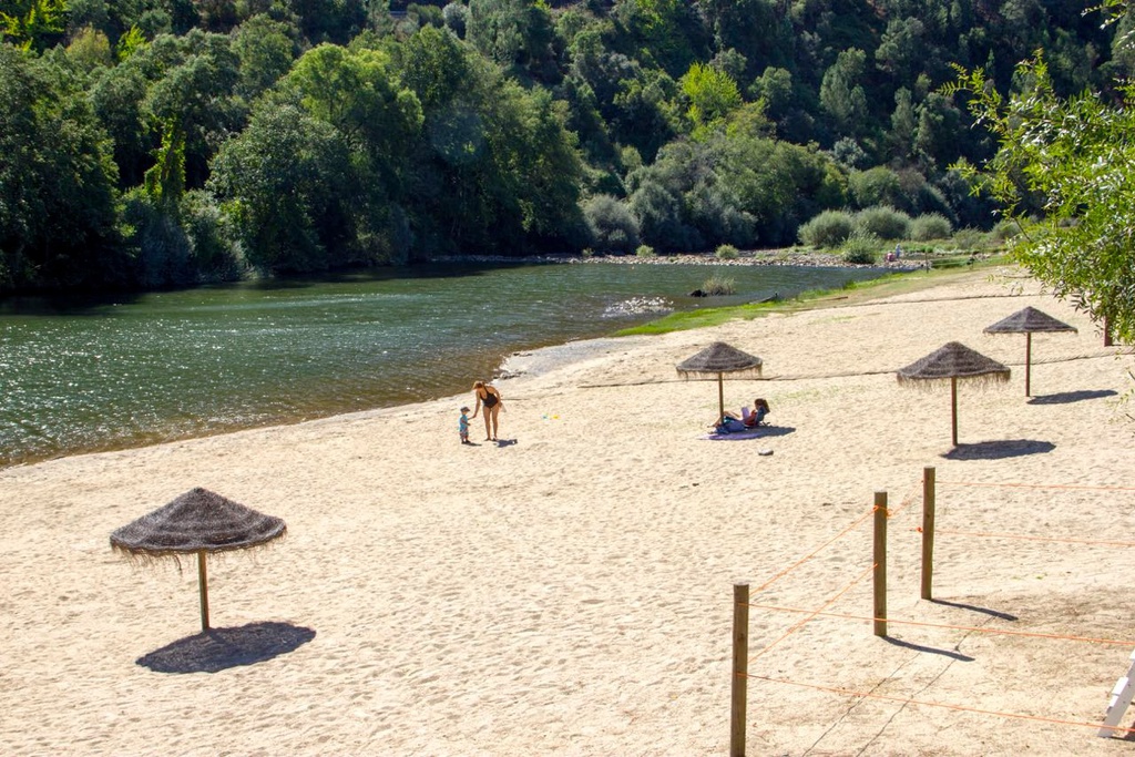
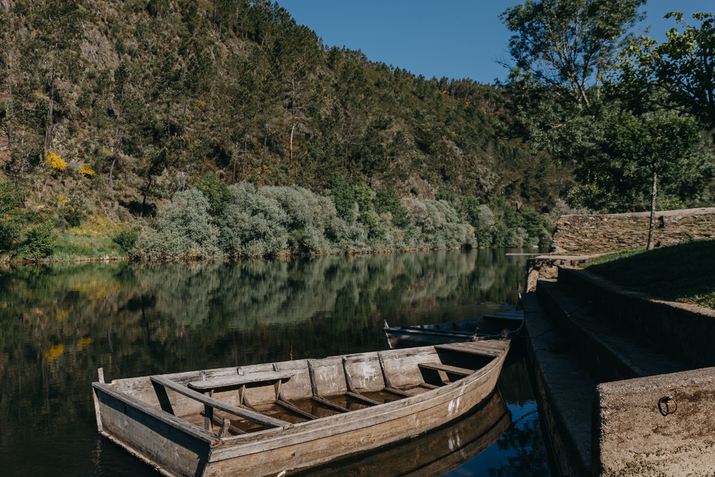
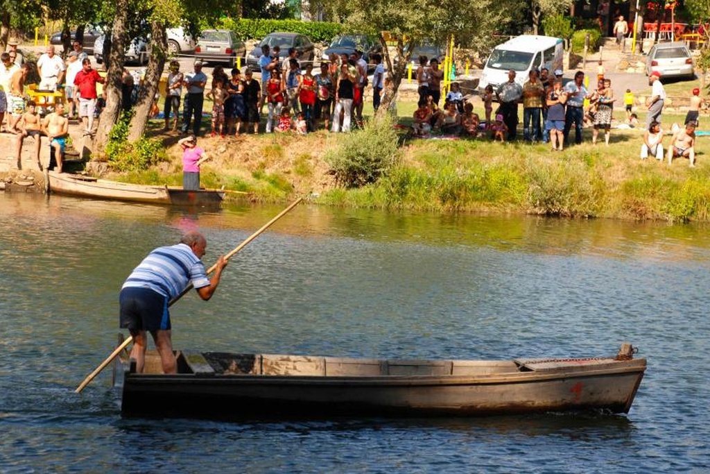
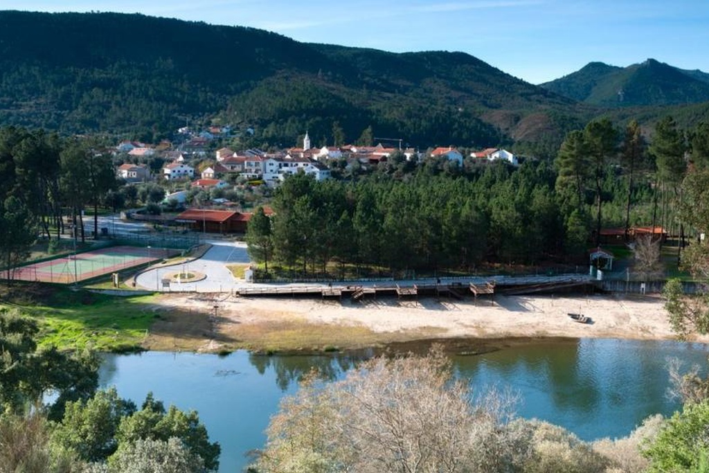
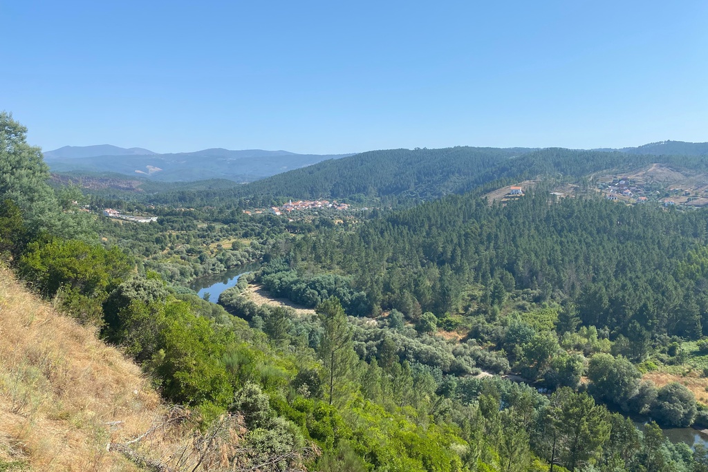
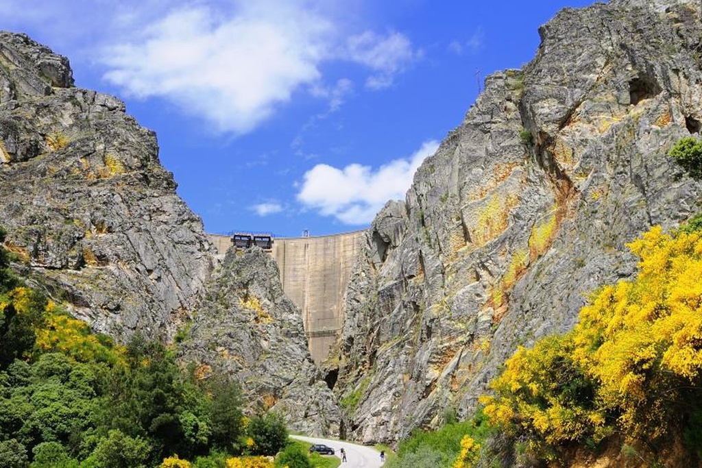
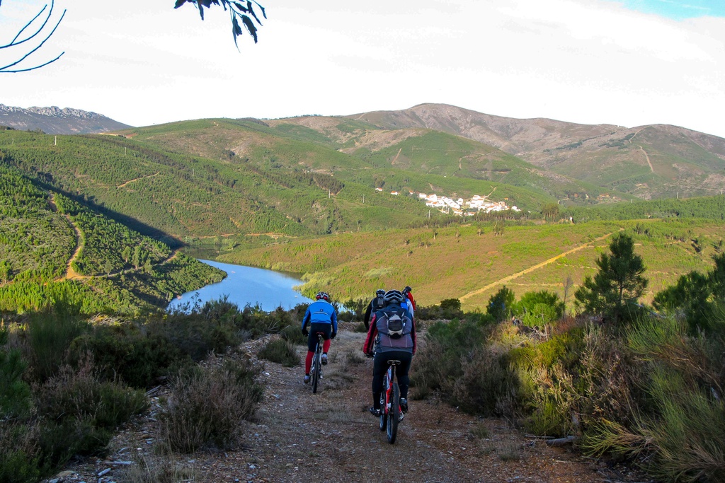
After the Mondego, it is the second largest river exclusively Portuguese. Near Cambas (Oleiros), between the villages of Janeiro de Cima and Álvaro, the Zêzere ceases to be a river and goes to the calm of a reservoir (Barragem do Cabril), where its waters rest before continuing their journey. It is on this stretch that we find it in the curves and countercurves that the Naturtejo Geopark of Meseta Meridional called "Meandros do Zêzere". If it did not run in such a winding valley and embedded from here to Constância, one would see that all the reservoirs of the three dams (Cabril, Bouça and Castelo do Bode) form an immense artificial lake, with over 5,800 hectares.
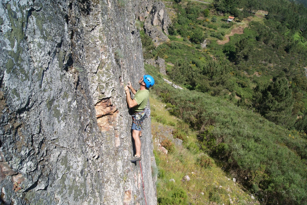
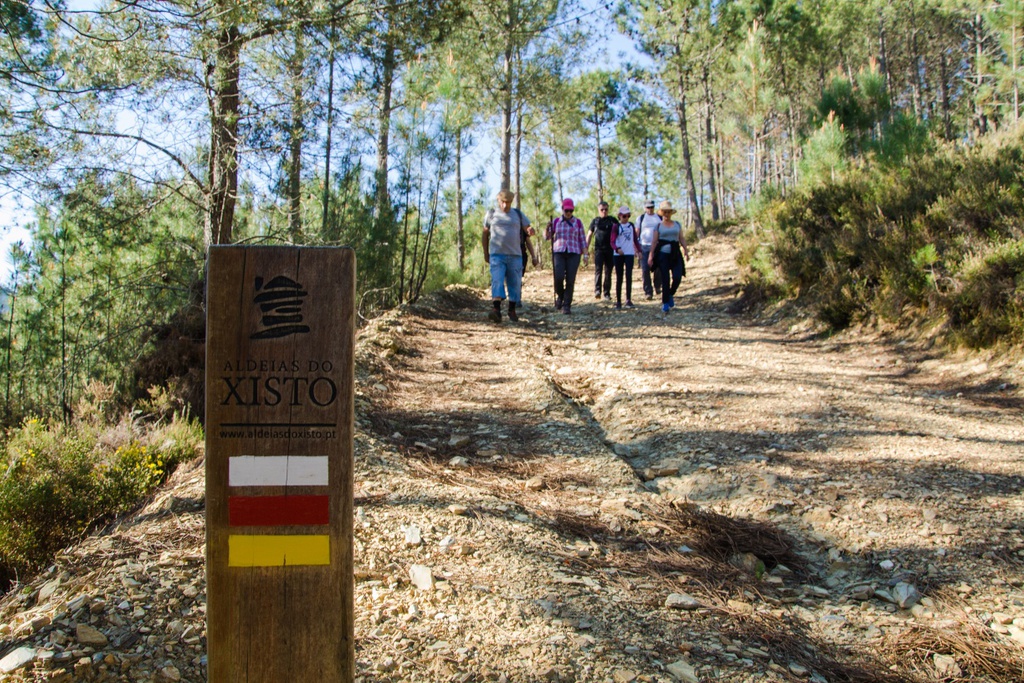
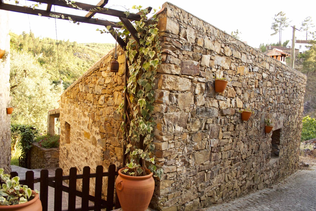
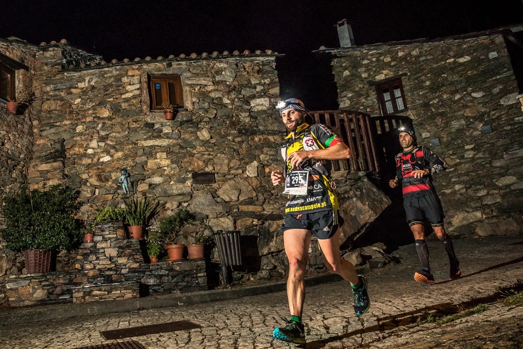
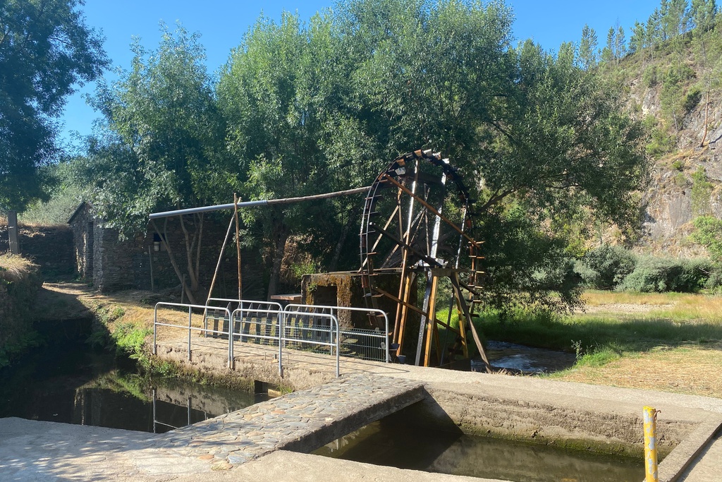
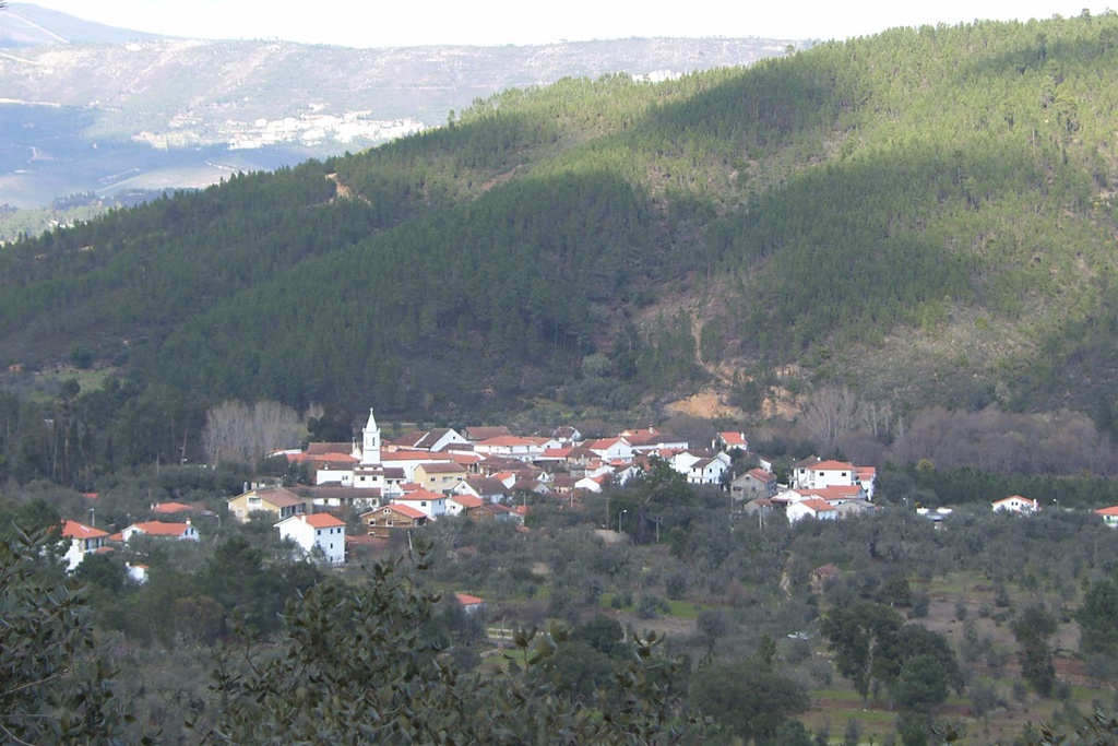
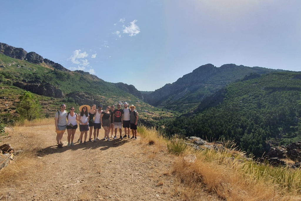
More than separating, Zêzere is the common denominator of the identity of the six Schist Villages that are in its basin. Its importance in the hydrography of the country, the diversity and quality of the habitats it creates and crosses and the heritage values that we find in its surroundings, justify the establishment of the GR33 - Great Route of Zêzere.


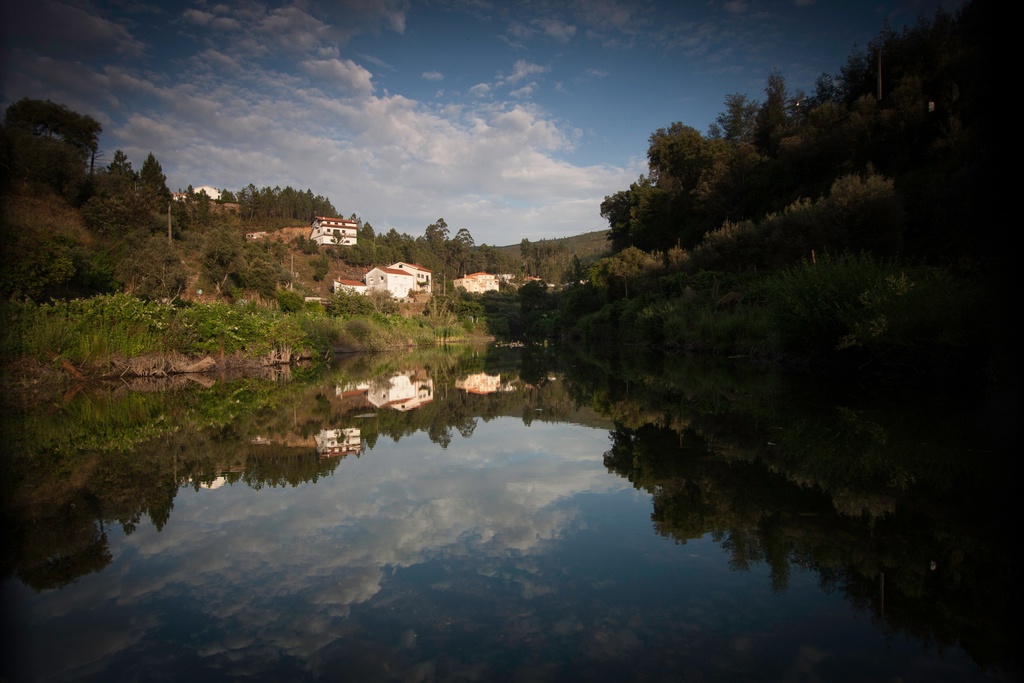
![Meanders I [GR33 - GRZ: Canoeing]](/media/filer_public/58/5d/585d1301-8dd4-48ed-a39a-ed2c548437b9/aldeias-xisto-aldeias-xisto-rio_zc3aazere_i5nr7dk.jpg.1024x683_q95_crop_upscale.jpg)

![Meanders II [GR33 - GRZ: Canoeing]](/media/filer_public/c8/51/c851afd1-d364-49d7-997e-ae1e6e1cb7c3/aldeias-xisto-aldeias-xisto-rio_zc3aazere_3dxcwph.jpg.1024x683_q95_crop_upscale.jpg)
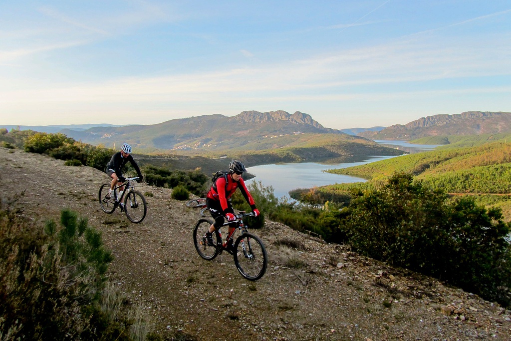


![Meanders [GRZ - MTB sector 4]](/media/filer_public/7e/ac/7eac1155-e4ea-4629-a104-5408619a98f1/aldeias-xisto-aldeias-xisto-meandros_janeiro_de_cima__c381rea_de_descanso_do_ac3a7ude_de_janeiro_de_cima_gr_6thqndd.jpg.1024x683_q95_crop_upscale.jpg)
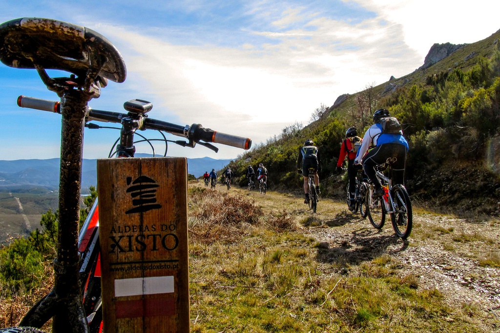
![GRZ on Foot - Meanders [Sector 4]](/media/filer_public/6f/68/6f68d979-2604-44da-a541-3377a9dcaf02/aldeias-xisto-aldeias-xisto-meandros_admoc3a7o__cambas_gr33_-_grz_etapa_6_trw2j3z.jpg.1024x683_q95_crop_upscale.jpg)

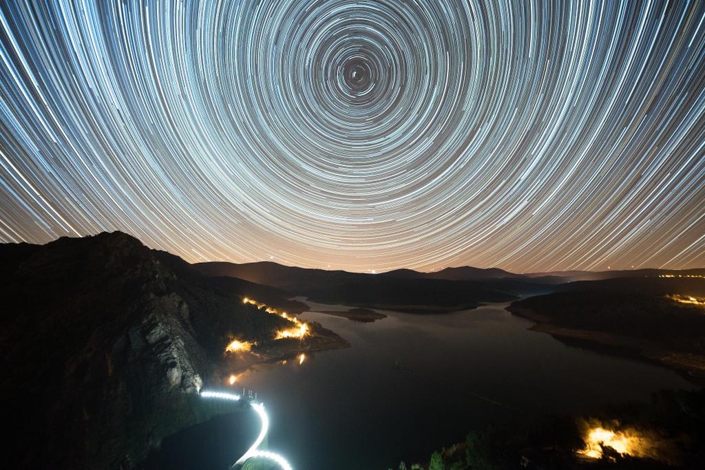
![Under the Sign of Cabril I [GR33 - GRZ: Canoeing]](/media/filer_public/96/bf/96bf693e-665d-480e-be04-6fd81ca7ca2f/aldeias-xisto-aldeias-xisto-rio_zc3aazere_am22jbi.jpg.1024x683_q95_crop_upscale.jpg)
![Under the Sign of Cabril [GRZ - MTB Sector 5]](/media/filer_public/24/bb/24bbd327-b984-4db4-b8fc-6434b566f60f/aldeias-xisto-aldeias-xisto-sob_o_signo_do_cabril_c381rea_de_descanso_da_arrochela__sra_da_confianc3a7a_gr_xas5xho.jpg.1024x683_q95_crop_upscale.jpg)

![GRZ on Foot - Under the Sign of Cabril [Sector 5]](/media/filer_public/28/40/28406dd1-30ff-49da-aed7-fa20db311b44/aldeias-xisto-aldeias-xisto-sob_o_signo_do_cabril_c381rea_de_descanso_da_frazumeira__sobral_gr33_-_grz_e_tlaiwpt.jpg.1024x683_q95_crop_upscale.jpg)