Coordinates
GD: 40.047188 -7.948876
DMS: 40°2′49.88″N 7°56′55.95″W
UTM: 29T 589662 4433523
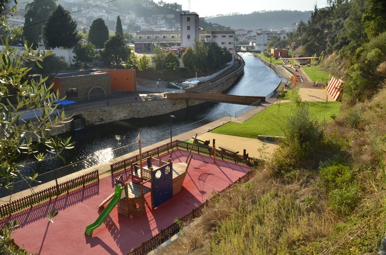
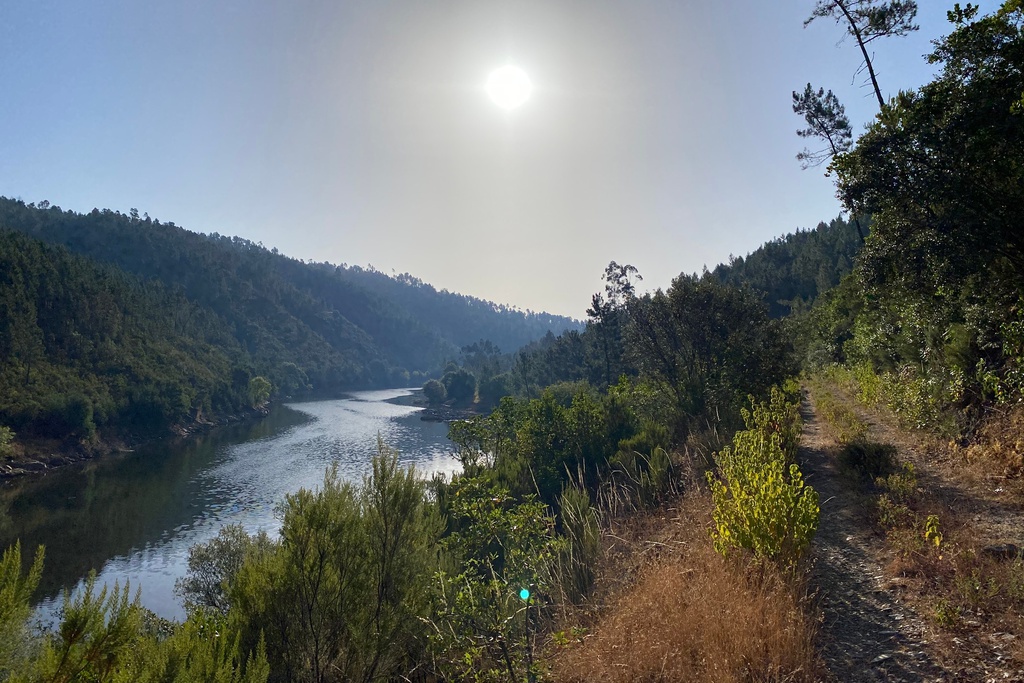
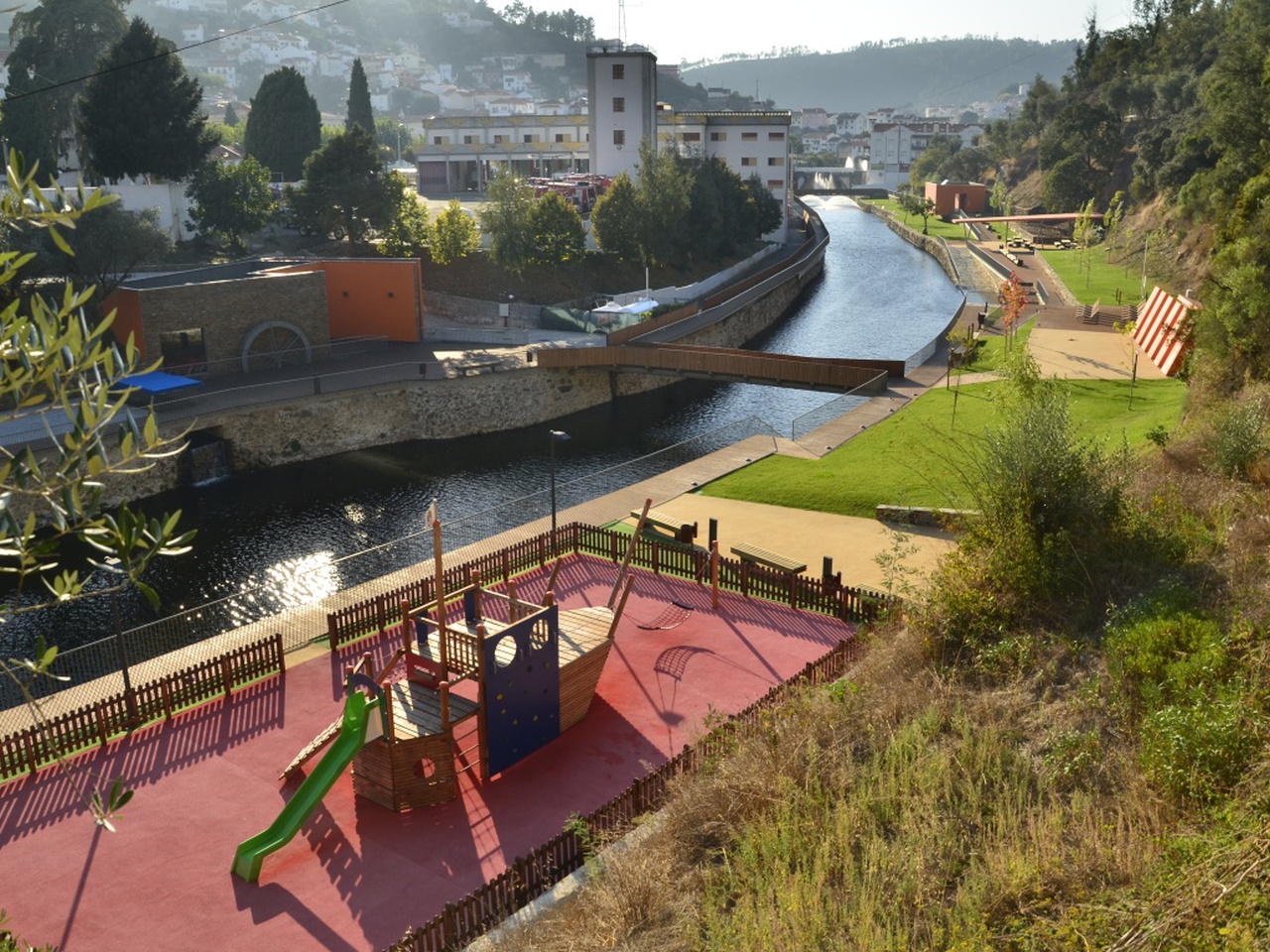
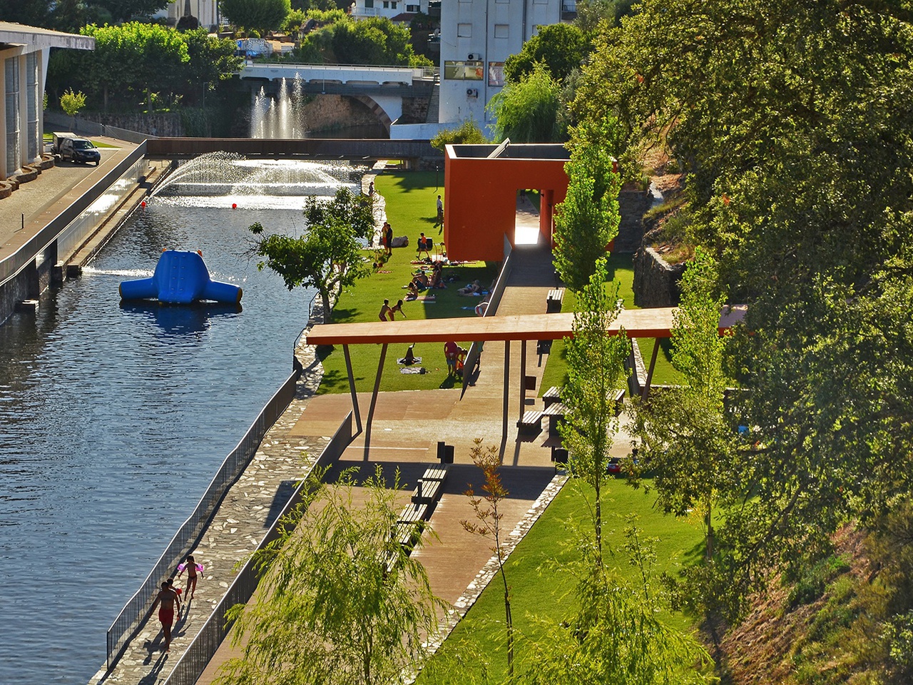
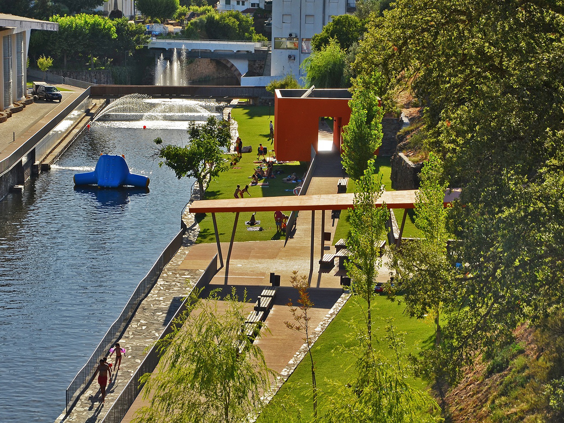
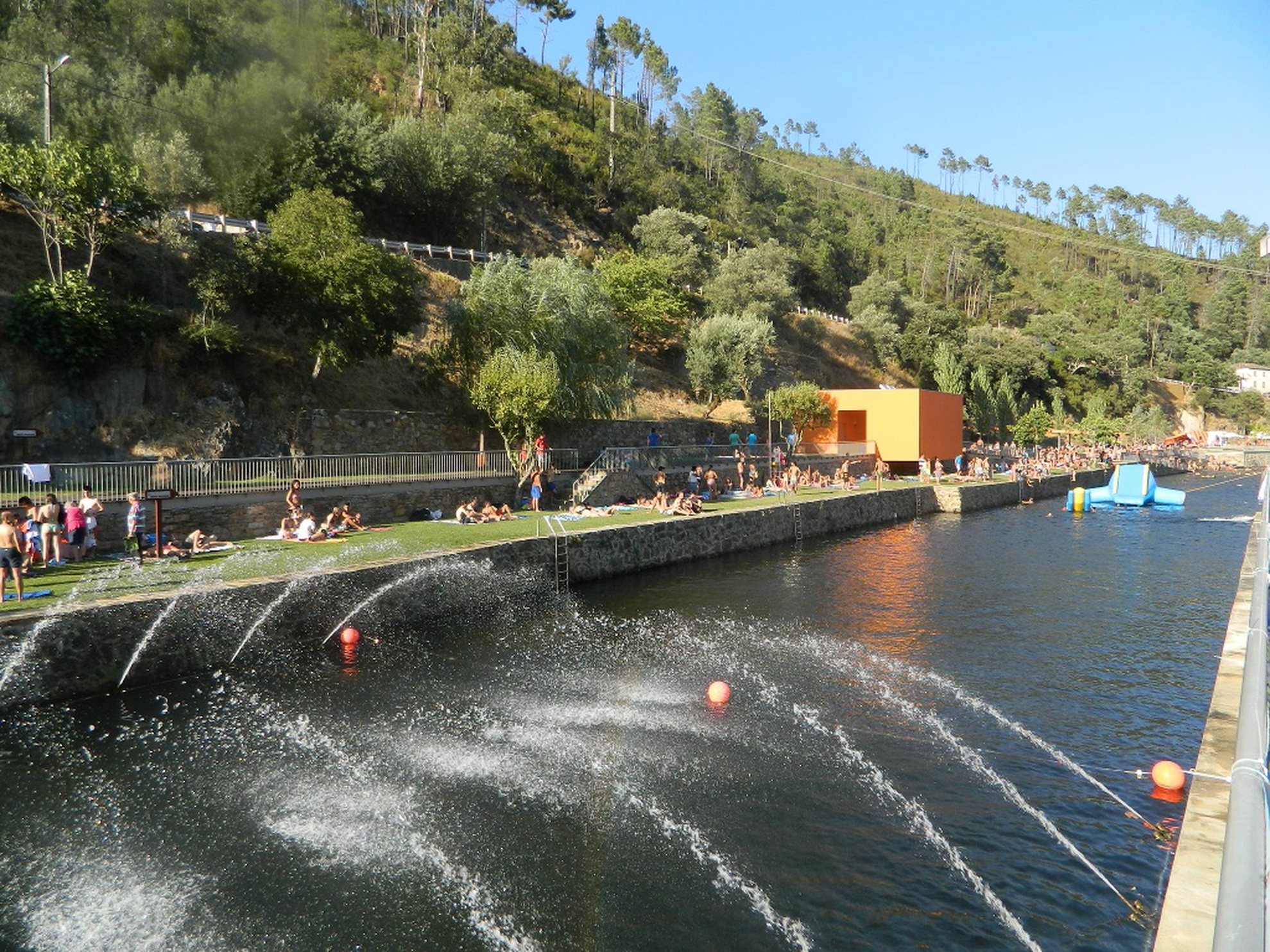
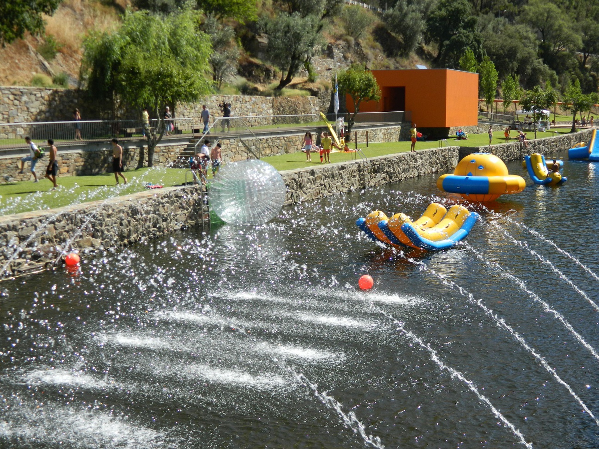
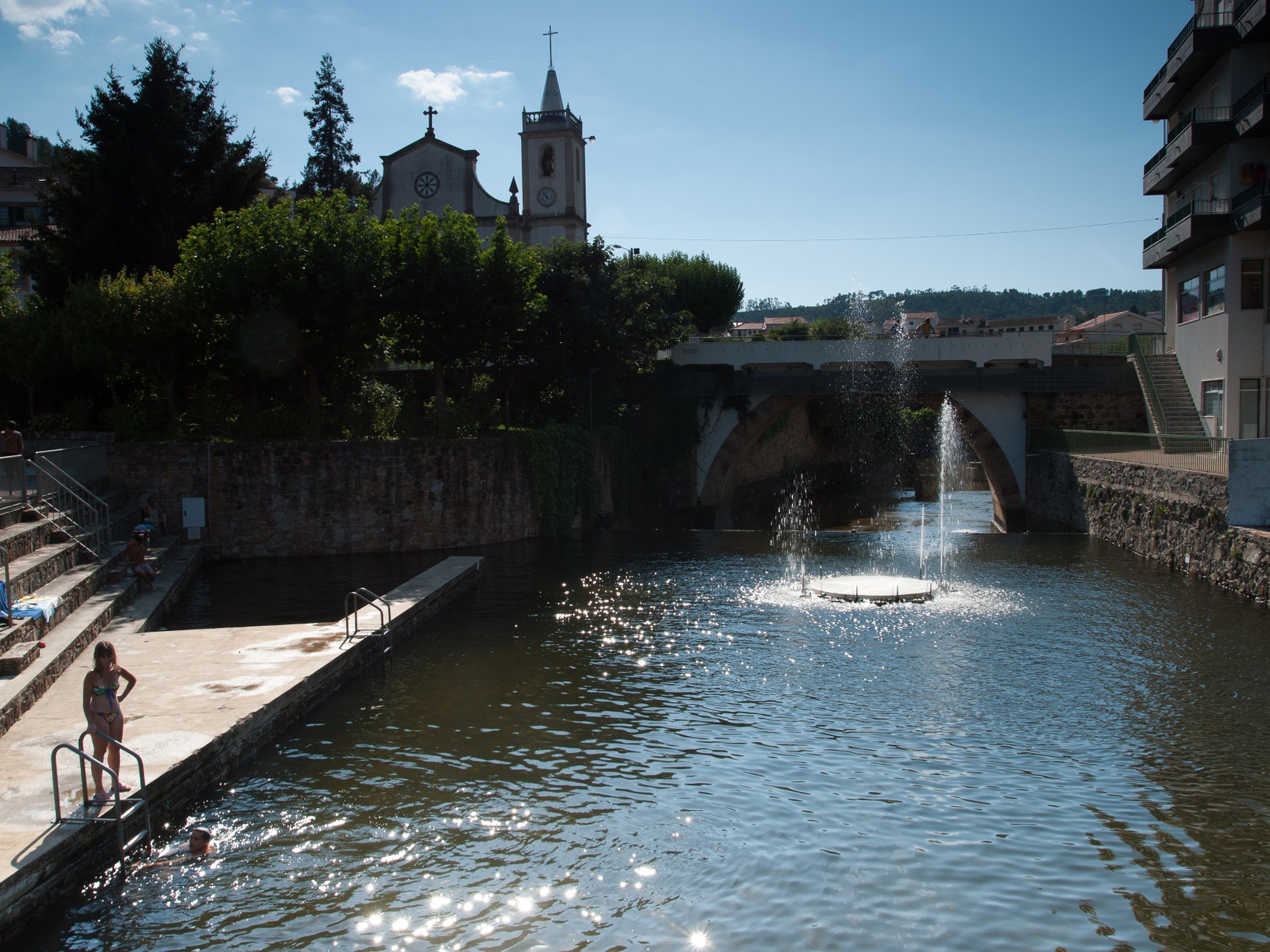
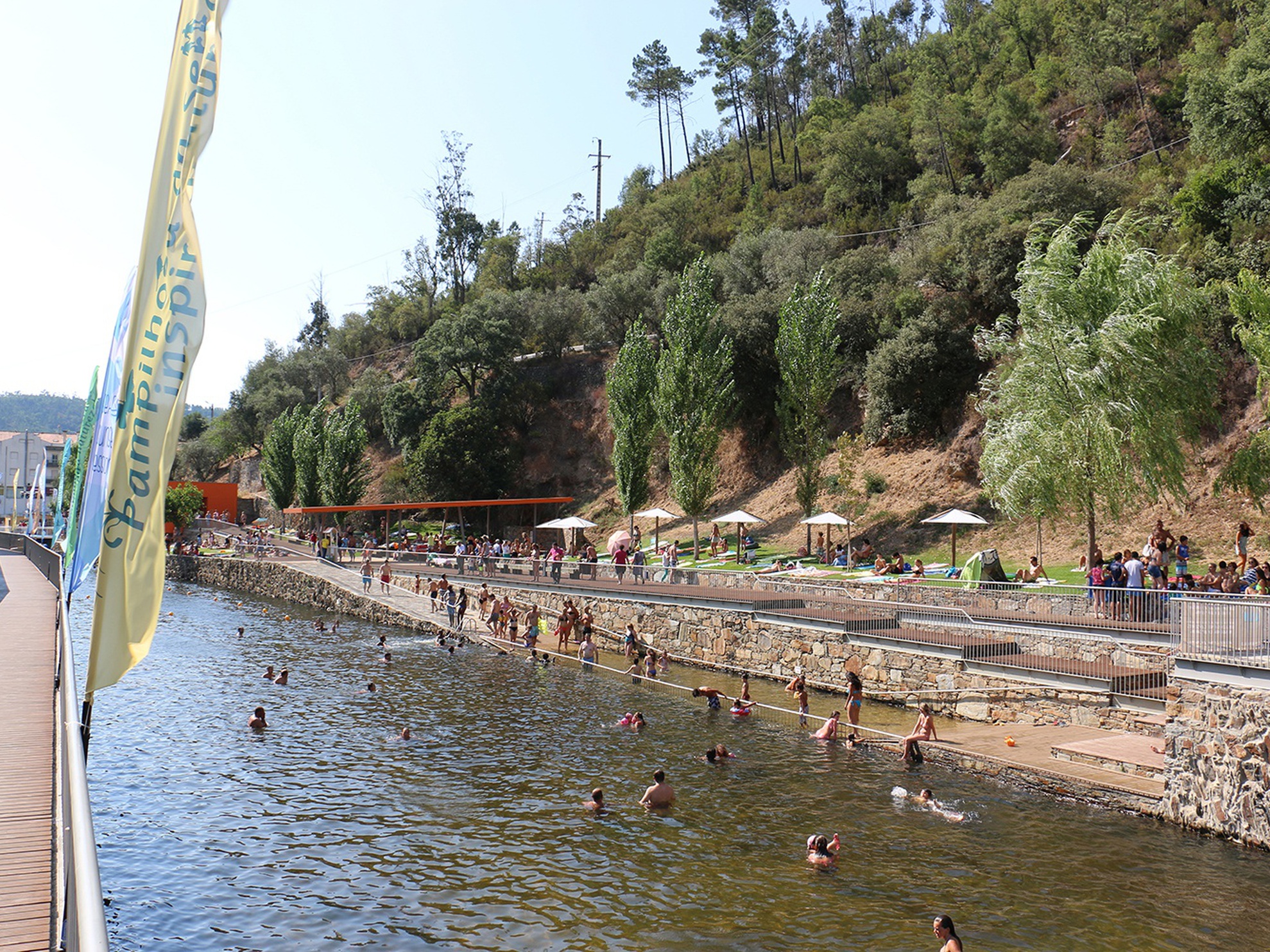
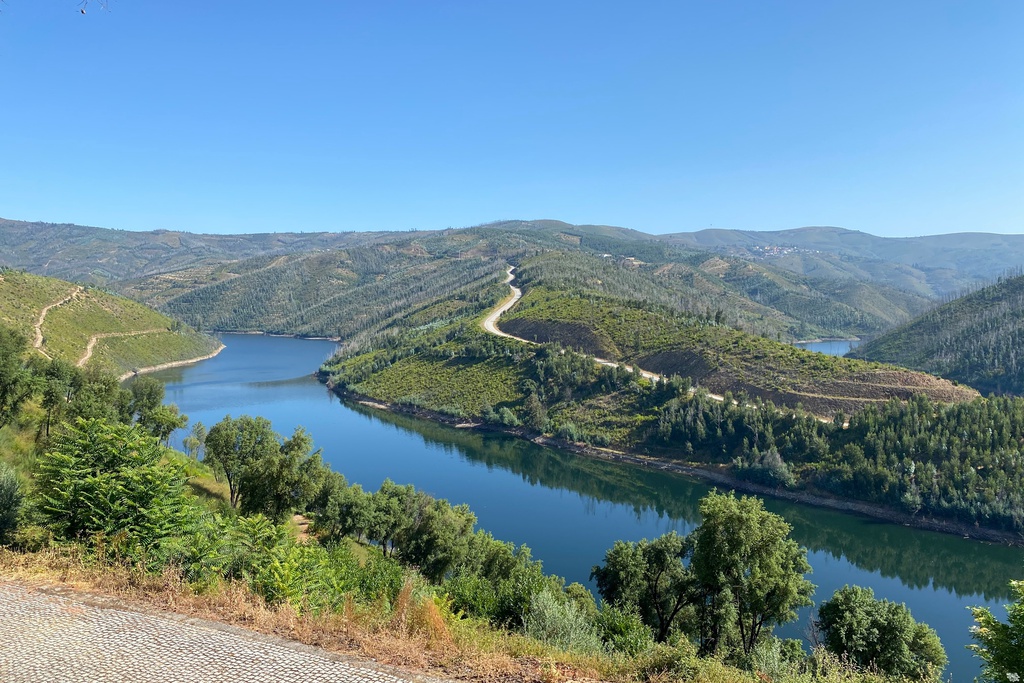
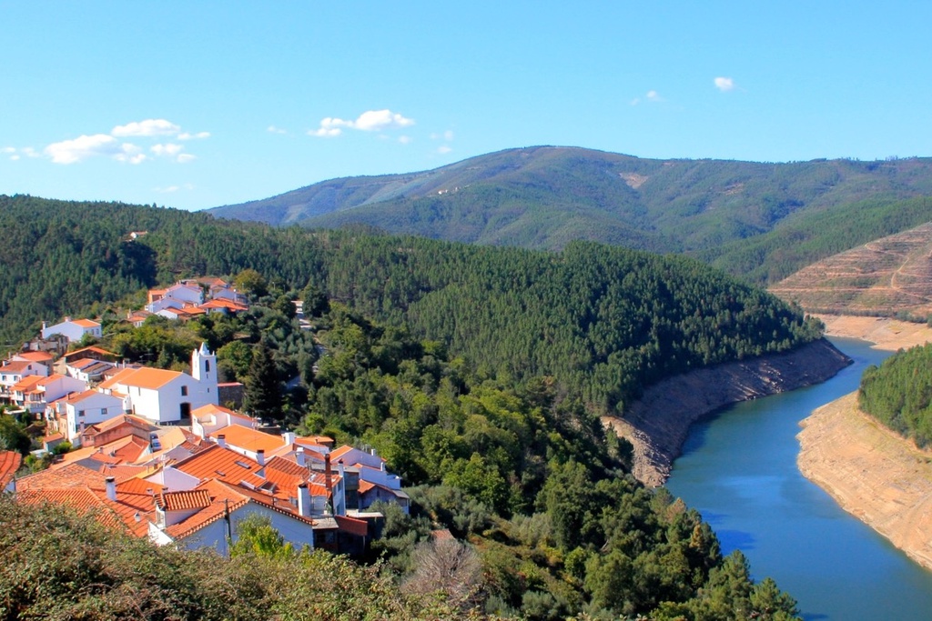
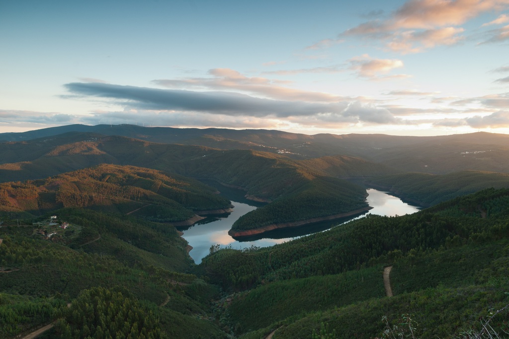
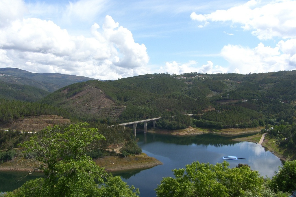
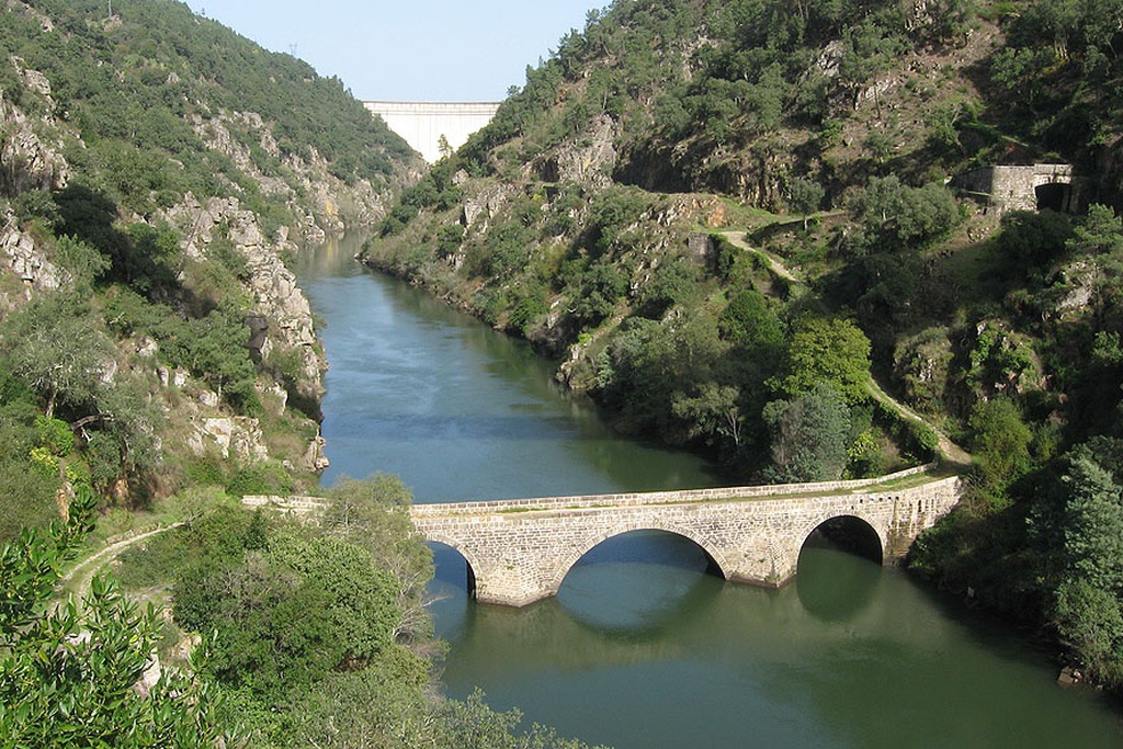
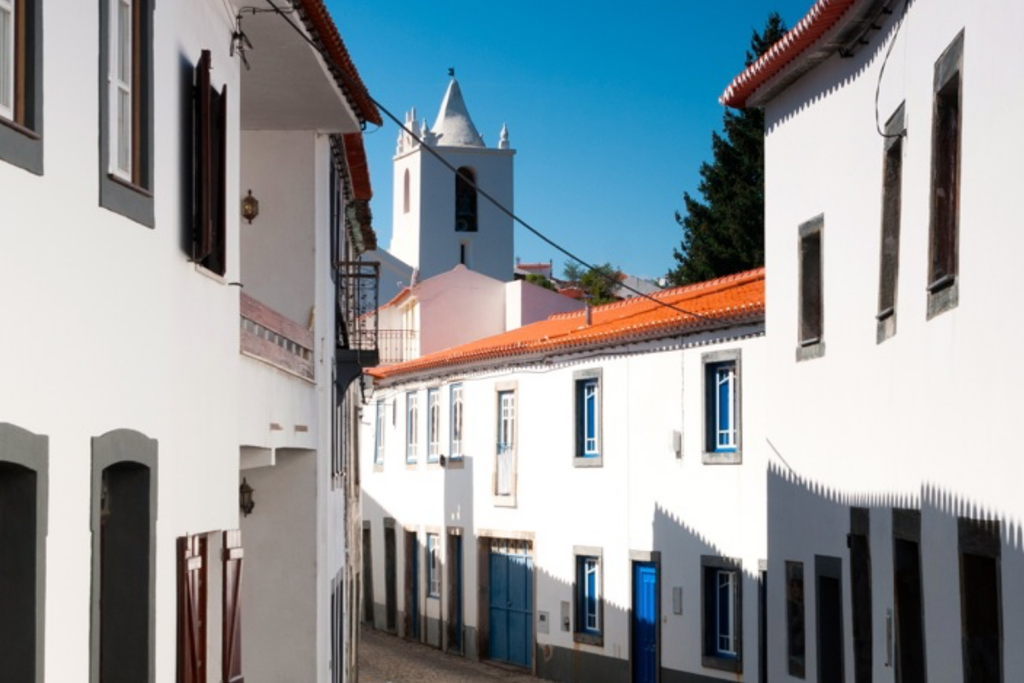
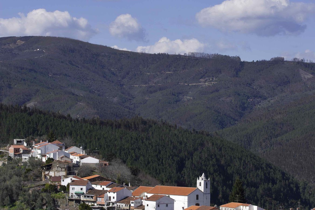
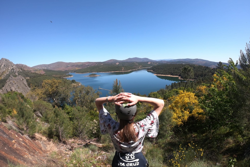
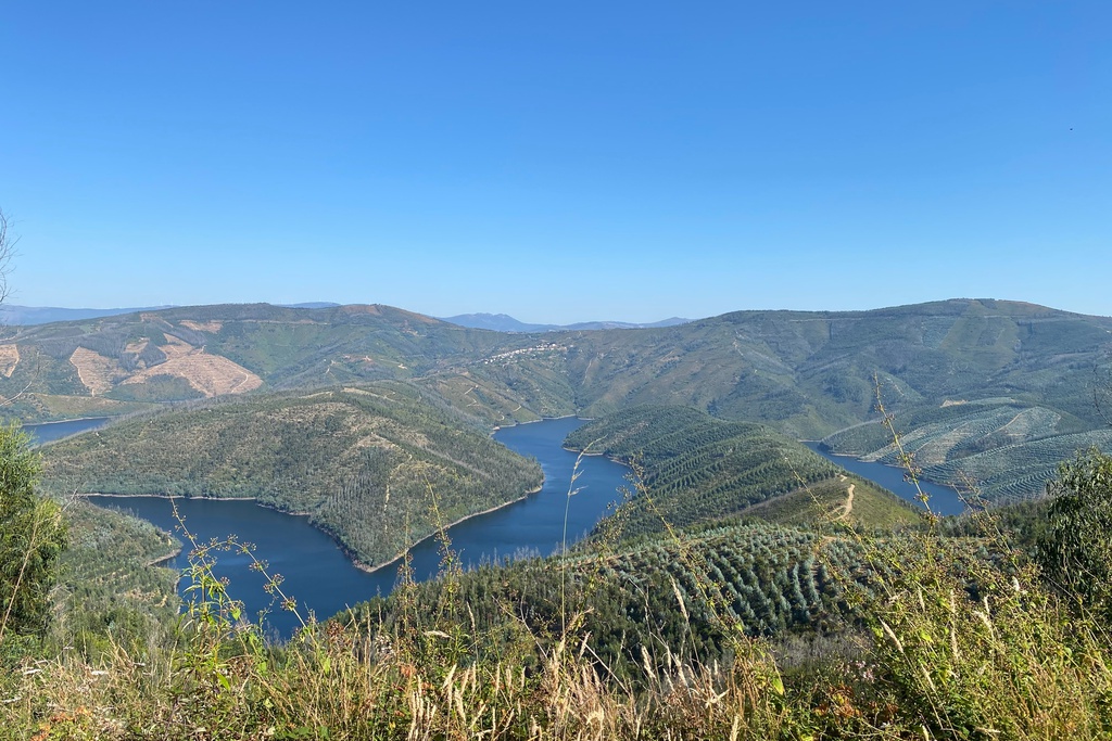
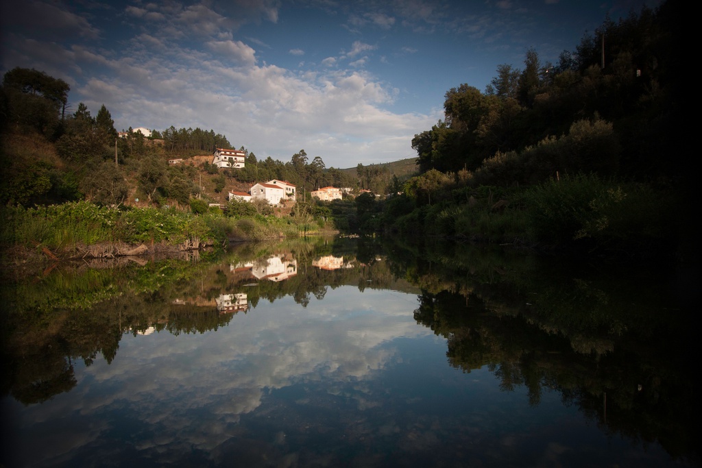
The Unhais-o-Velho river, and the valley it flows along, trace the line along which the village developed. The Town Hall, the Mother Church and other public services are in the immediate vicinity of the beach, but the immense green areas and sunbathing spots along the banks of the river, the views of the imposing and verdant surrounding areas and pure air quality, make it feel like we are truly in the country.
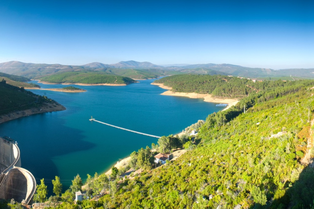
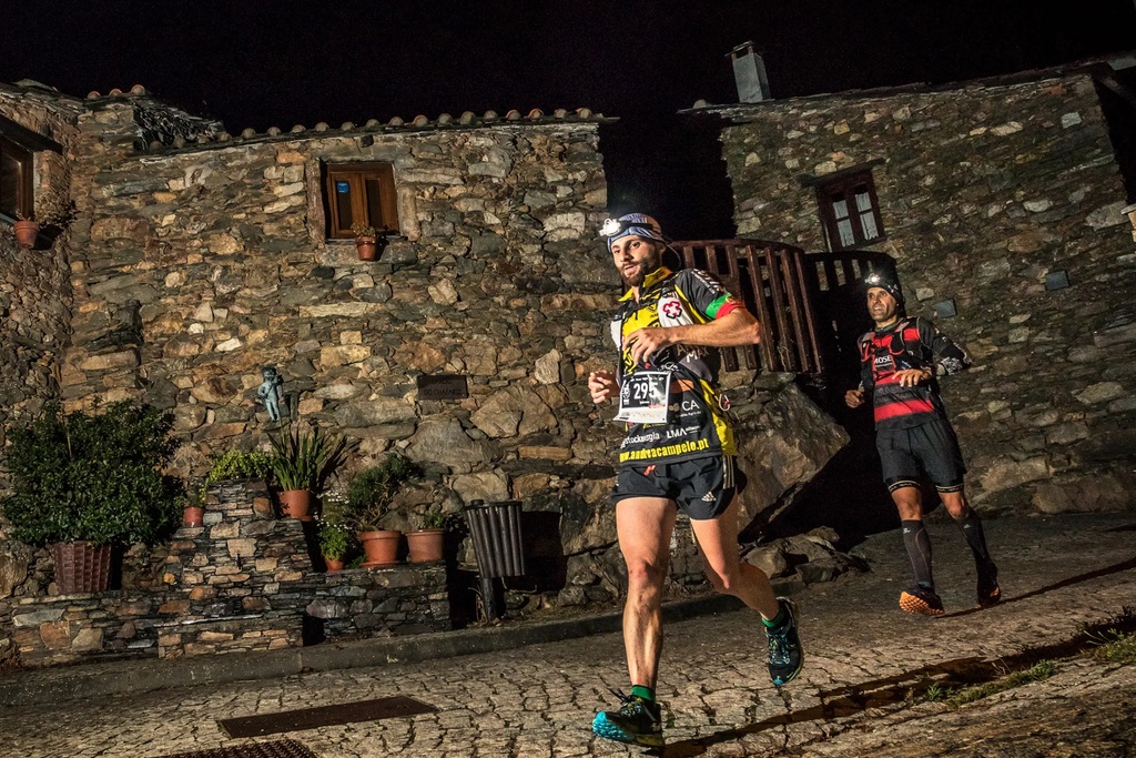
With lifeguards, abundant shade, several bridges between the banks and a range of facilities, the space also has the great advantage that nearby the gastronomic delights of the region can be sampled: Chanfana (Goat stewed in red wine), bucho (pork and rice), honey or arbutus brandy.
Pampilhosa da Serra’s River Beach is today one of its best picture postcards.
GD: 40.047188 -7.948876
DMS: 40°2′49.88″N 7°56′55.95″W
UTM: 29T 589662 4433523
Praia Fluvial da Pampilhosa da Serra
Praia Fluvial da Pampilhosa da Serra

Praia Fluvial da Pampilhosa da Serra

Praia Fluvial da Pampilhosa da Serra

Praia Fluvial da Pampilhosa da Serra

Praia Fluvial da Pampilhosa da Serra

Praia Fluvial da Pampilhosa da Serra
Praia Fluvial da Pampilhosa da Serra
Praia Fluvial da Pampilhosa da Serra
Praia Fluvial da Pampilhosa da Serra
Praia Fluvial da Pampilhosa da Serra
Praia Fluvial da Pampilhosa da Serra


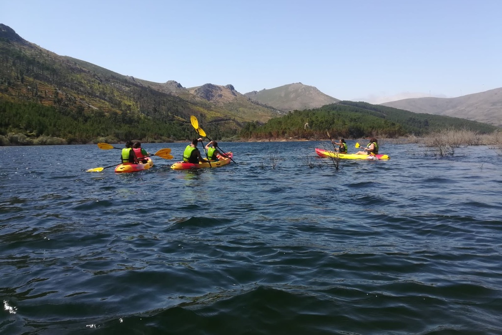
![Under the Sign of Cabril II [GR33 - GRZ: Canoeing]](/media/filer_public/f8/05/f805ef19-433b-4a3b-995f-d2b009086fe0/aldeias-xisto-aldeias-xisto-rio_zc3aazere_3dxcwph.jpg.1024x683_q95_crop_upscale.jpg)


![Under the Sign of Cabril I [GR33 - GRZ: Canoeing]](/media/filer_public/4d/b0/4db01e2b-256b-4a39-976d-28fc2921d3a5/aldeias-xisto-aldeias-xisto-rio_zc3aazere_am22jbi.jpg.1024x683_q95_crop_upscale.jpg)
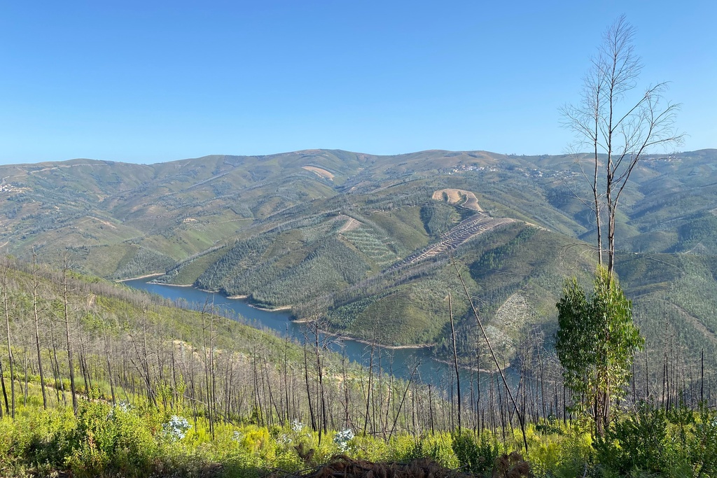
![Under the Sign of Cabril [GRZ - MTB Sector 5]](/media/filer_public/7b/0f/7b0f4fa6-5262-4741-a805-f9721e3df74d/aldeias-xisto-aldeias-xisto-sob_o_signo_do_cabril_c381rea_de_descanso_da_arrochela__sra_da_confianc3a7a_gr_xas5xho.jpg.1024x683_q95_crop_upscale.jpg)
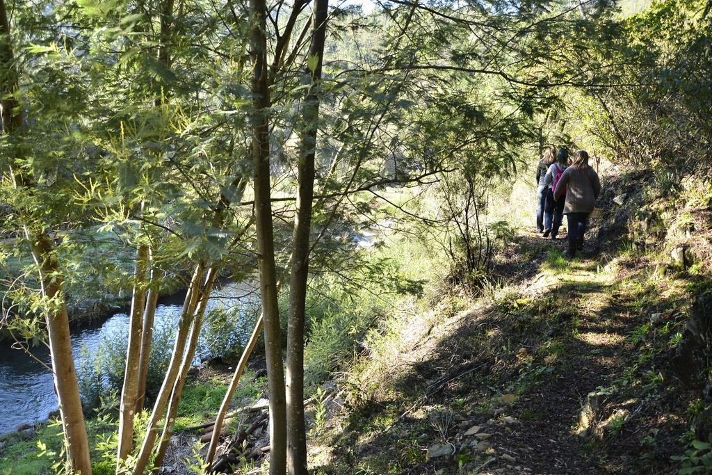
![GRZ on Foot - Under the Sign of Cabril [Sector 5]](/media/filer_public/2b/6e/2b6edd17-e229-4463-b574-5c0c57a052e1/aldeias-xisto-aldeias-xisto-sob_o_signo_do_cabril_c381rea_de_descanso_da_frazumeira__sobral_gr33_-_grz_e_tlaiwpt.jpg.1024x683_q95_crop_upscale.jpg)