Coordinates
GD: 39.911667 -8.130556
DMS: 39°54′42.0″N 8°7′50.0″W
UTM: 29S 574311 4418314

- Type: Informal
- Orientation: West
- Angle: SO to NE
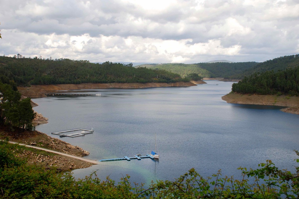
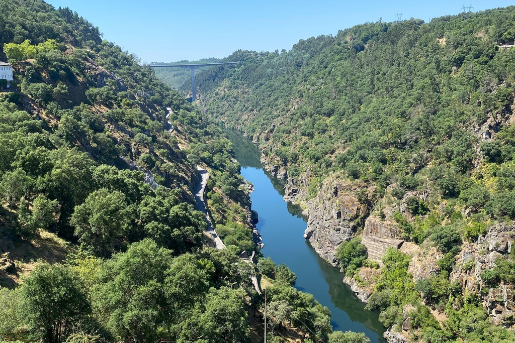
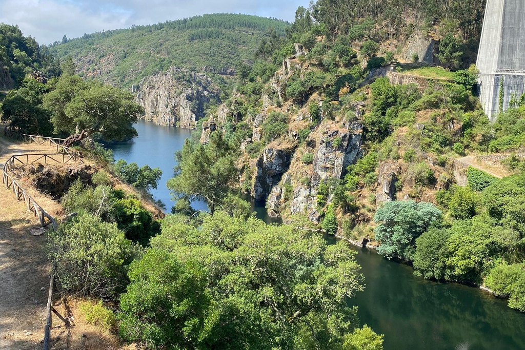
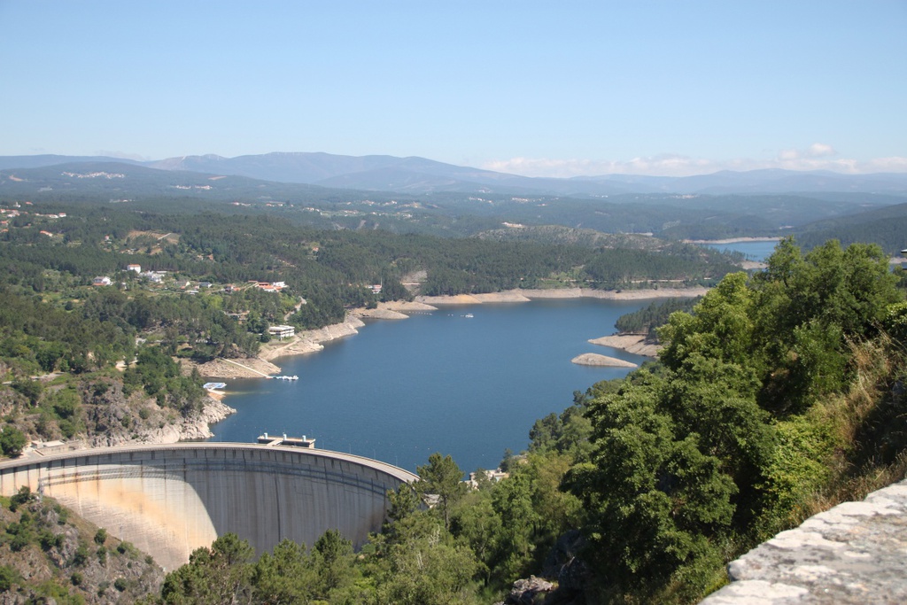
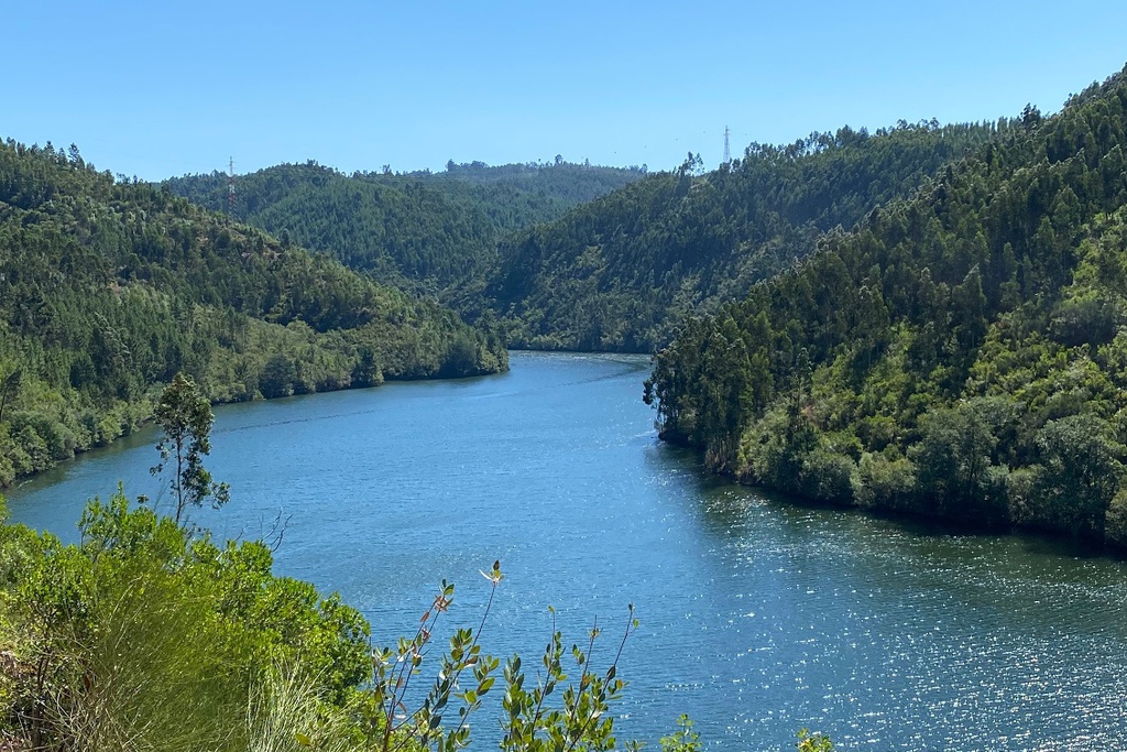
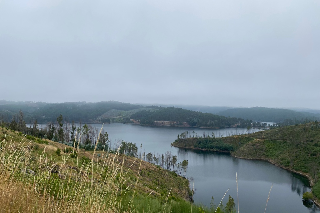
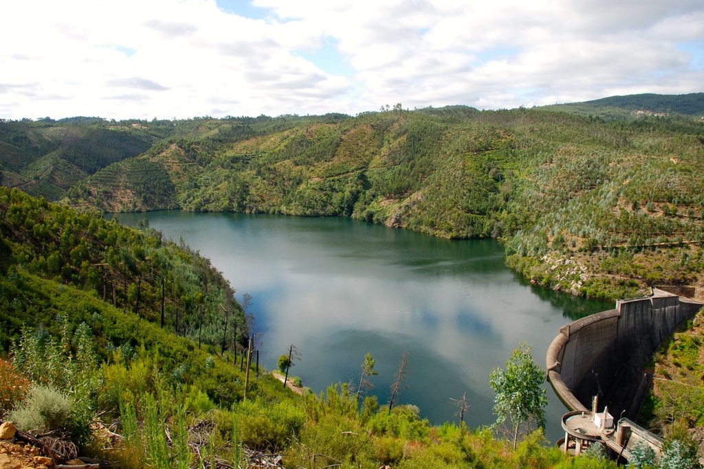
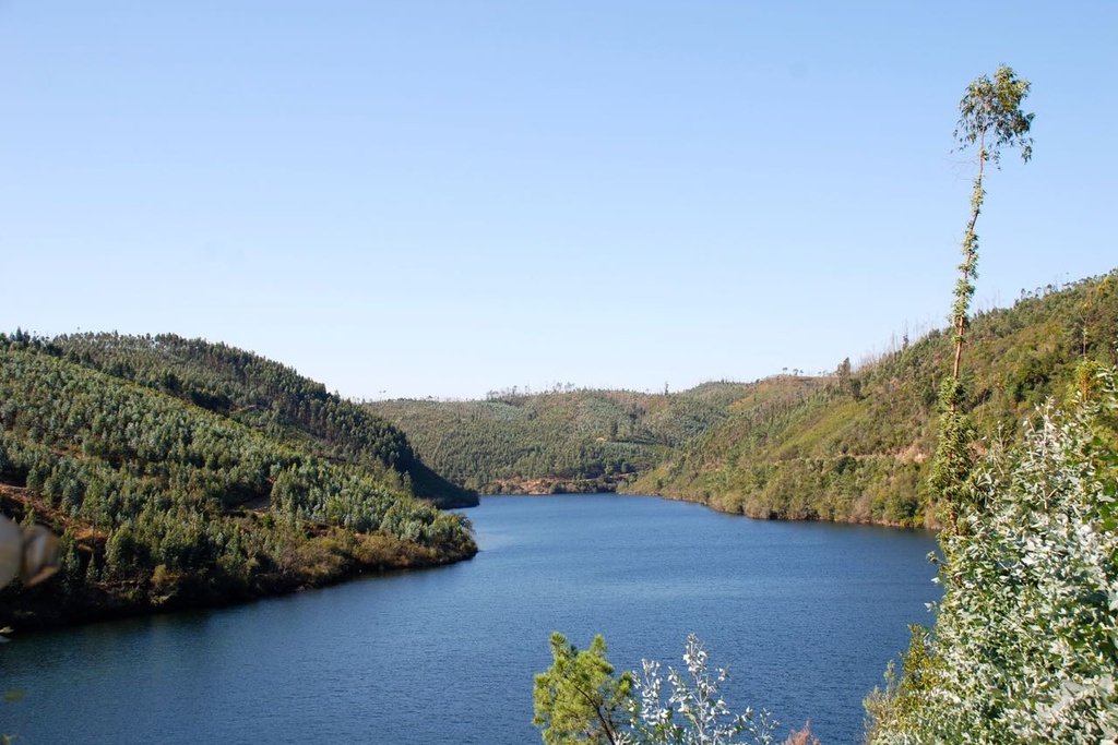
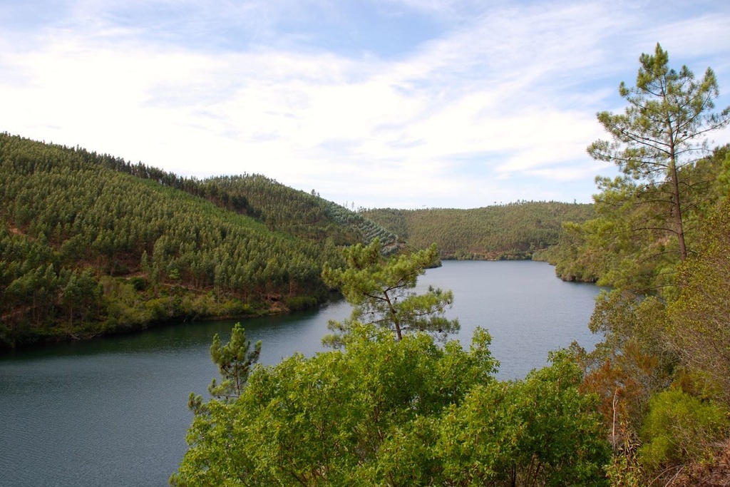
- Landscape reader: In front of us, below, the slope of the right bank of the Zêzere valley, called Cabril do Zêzere, crossed by a section of the EN2 to the Cabril Dam, from where we can appreciate an extensive plan of the lake. SO: Chapel of Nossa Senhora dos Milagres | O: Pedrógão Grande (to the left the Clock Tower and to the right the tower of the Mother Church) | NE: Quartzite cliffs next to Ferraria de São João | N: Serra da Lousã (Trevim) | NE: Serra do Açor.
GD: 39.911667 -8.130556
DMS: 39°54′42.0″N 8°7′50.0″W
UTM: 29S 574311 4418314

Miradouro de N.ª Sra.ª da Confiança

Miradouro de N.ª Sra.ª da Confiança
