Coordinates
GD: 40.028889 -7.802778
DMS: 40°1′44.0″N 7°48′10.0″W
UTM: 29T 602152 4431650

- Type: Official
- Angle: 360º
- Orientation: NE
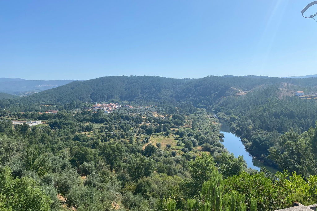
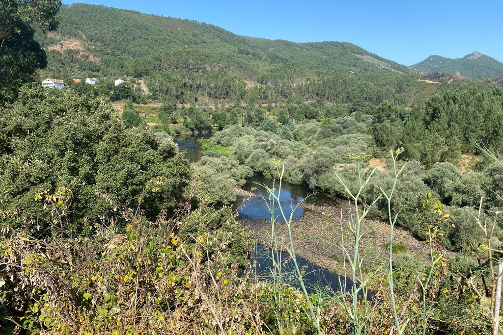
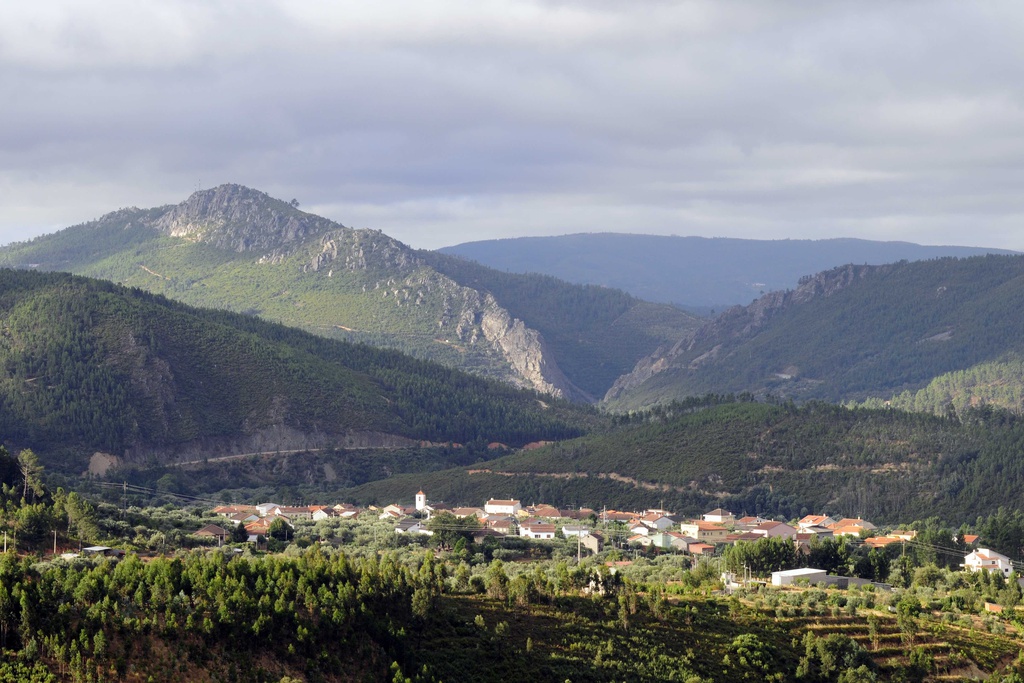
- Landscape reader: N: Açor Mountain; Aldeias do Xisto of Janeiro de Baixo and Janeiro de Cima | NE: Estrela Mountain | E: Orvalho | SE: Cabeço da Rainha [Queen's Head] | W: Alvelos Mountain | NW: Lousã Mountain and the Zêzere River Valley
Facilities:
Picnic area | Playground | Sanitary facilities | Information about the Naturtejo Geopark | PR3 OLR - Orvalho Georoute
GD: 40.028889 -7.802778
DMS: 40°1′44.0″N 7°48′10.0″W
UTM: 29T 602152 4431650

Miradouro do Cabeço do Mosqueiro

Miradouro do Cabeço do Mosqueiro

Miradouro do Cabeço do Mosqueiro

Miradouro do Cabeço do Mosqueiro

Miradouro do Cabeço do Mosqueiro

Miradouro do Cabeço do Mosqueiro


