Coordinates
GD: 39.914722 -8.316389
DMS: 39°54′53.0″N 8°18′59.0″W
UTM: 29S 558425 4418515

- Type: Formal
- Orientation: North
- Angle: 270º
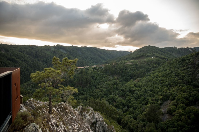
Landscape reader: O: Aldeia do Xisto of Casal de São Simão | N: Fragas de São Simão and, at the bottom of the valley, the course of Ribeira de Pera | NE: IC8 bridge and, on the horizon, the Lousã Mountain.
GD: 39.914722 -8.316389
DMS: 39°54′53.0″N 8°18′59.0″W
UTM: 29S 558425 4418515

Aldeia do Xisto de Casal de São Simão

Miradouro das Fragas de São Simão

Miradouro das Fragas de São Simão

Miradouro das Fragas de São Simão

Miradouro das Fragas de São Simão

Miradouro das Fragas de São Simão

Miradouro das Fragas de São Simão

Praia Fluvial das Fragas de São Simão

Aldeia do Xisto de Casal de São Simão

Miradouro das Fragas de São Simão

Miradouro das Fragas de São Simão

Miradouro das Fragas de São Simão

Miradouro das Fragas de São Simão

Miradouro das Fragas de São Simão

Miradouro das Fragas de São Simão

Praia Fluvial das Fragas de São Simão

