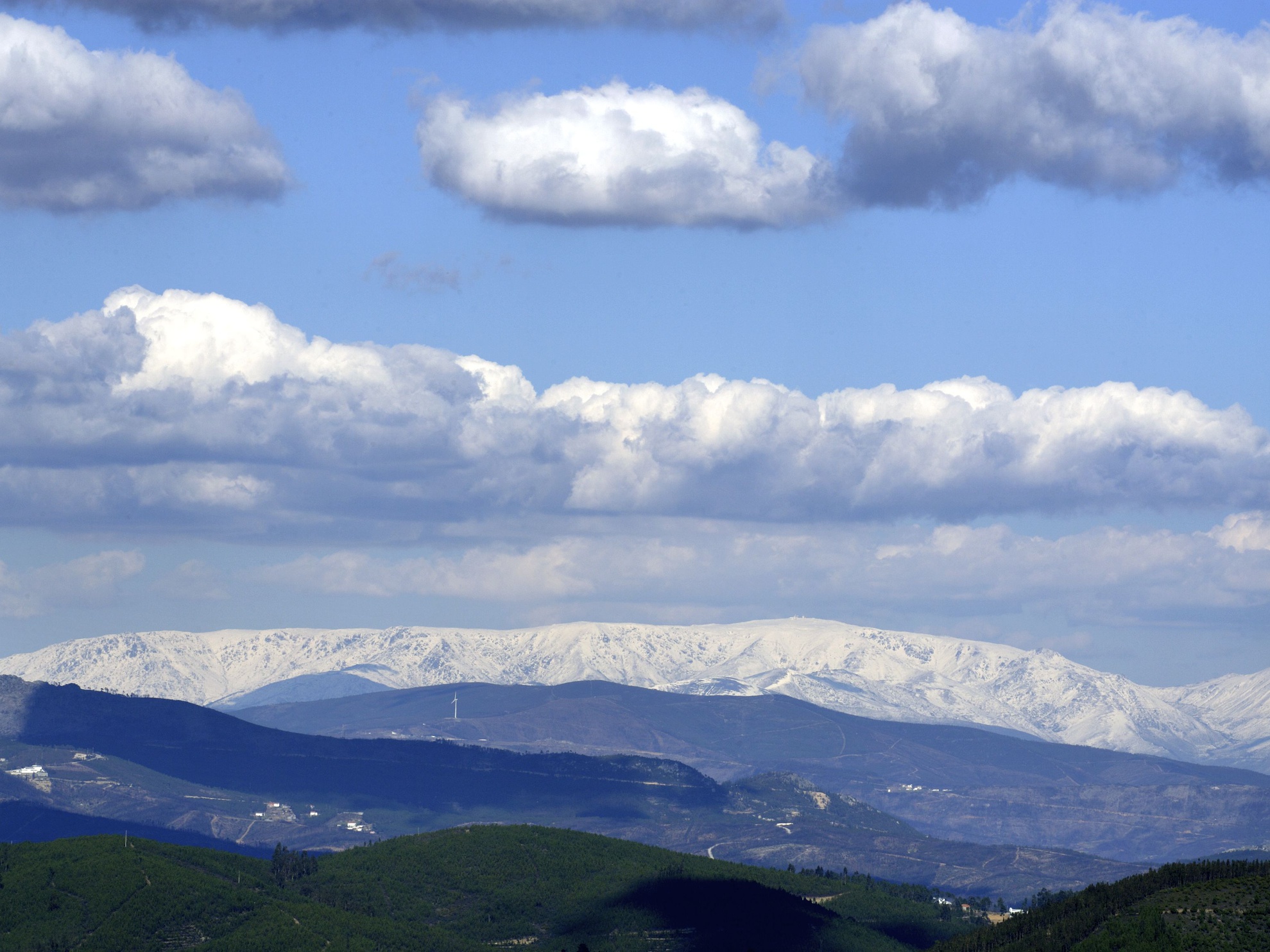
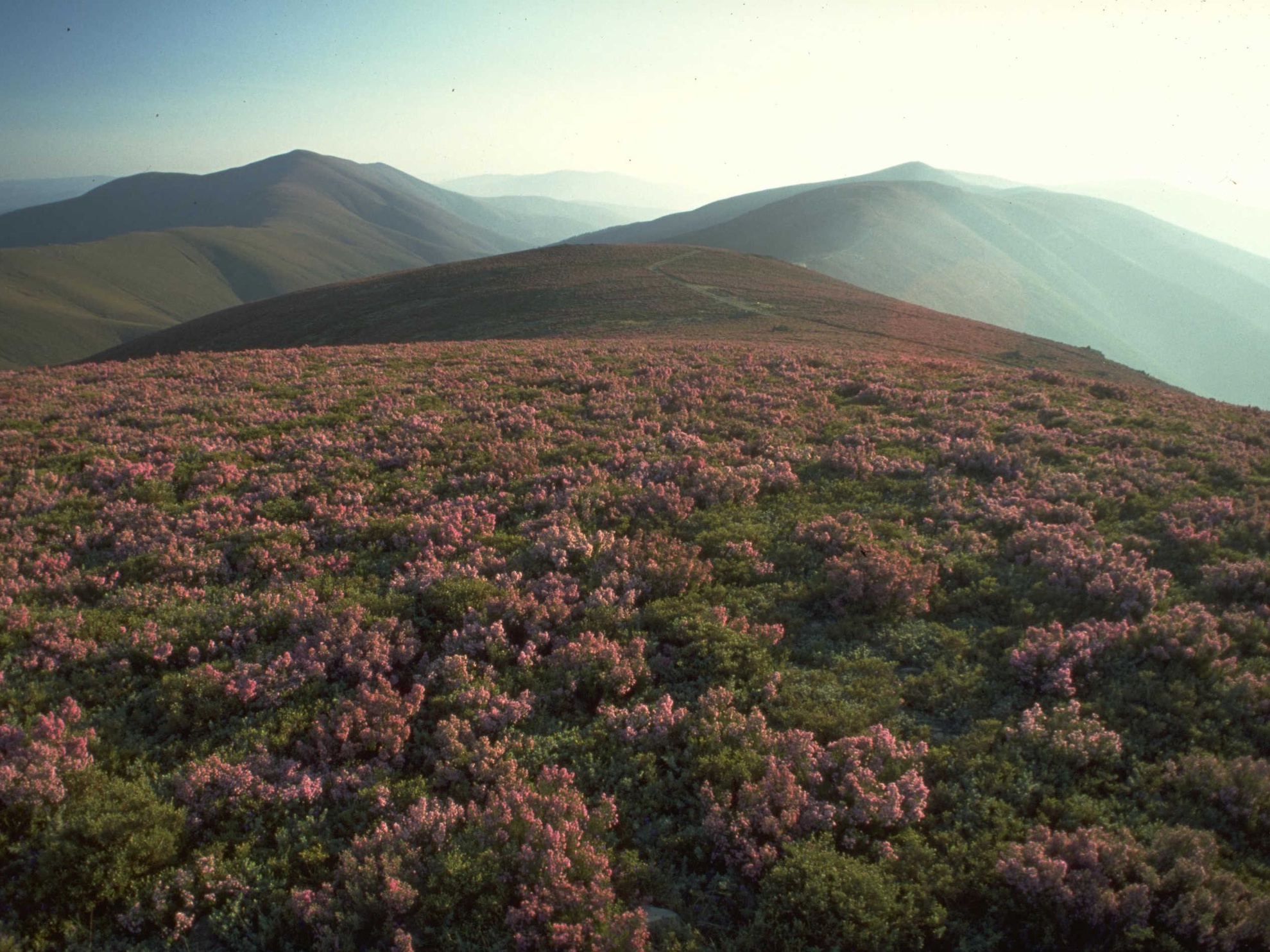
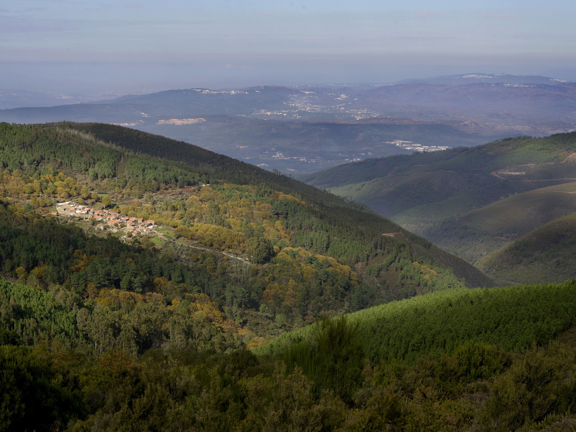
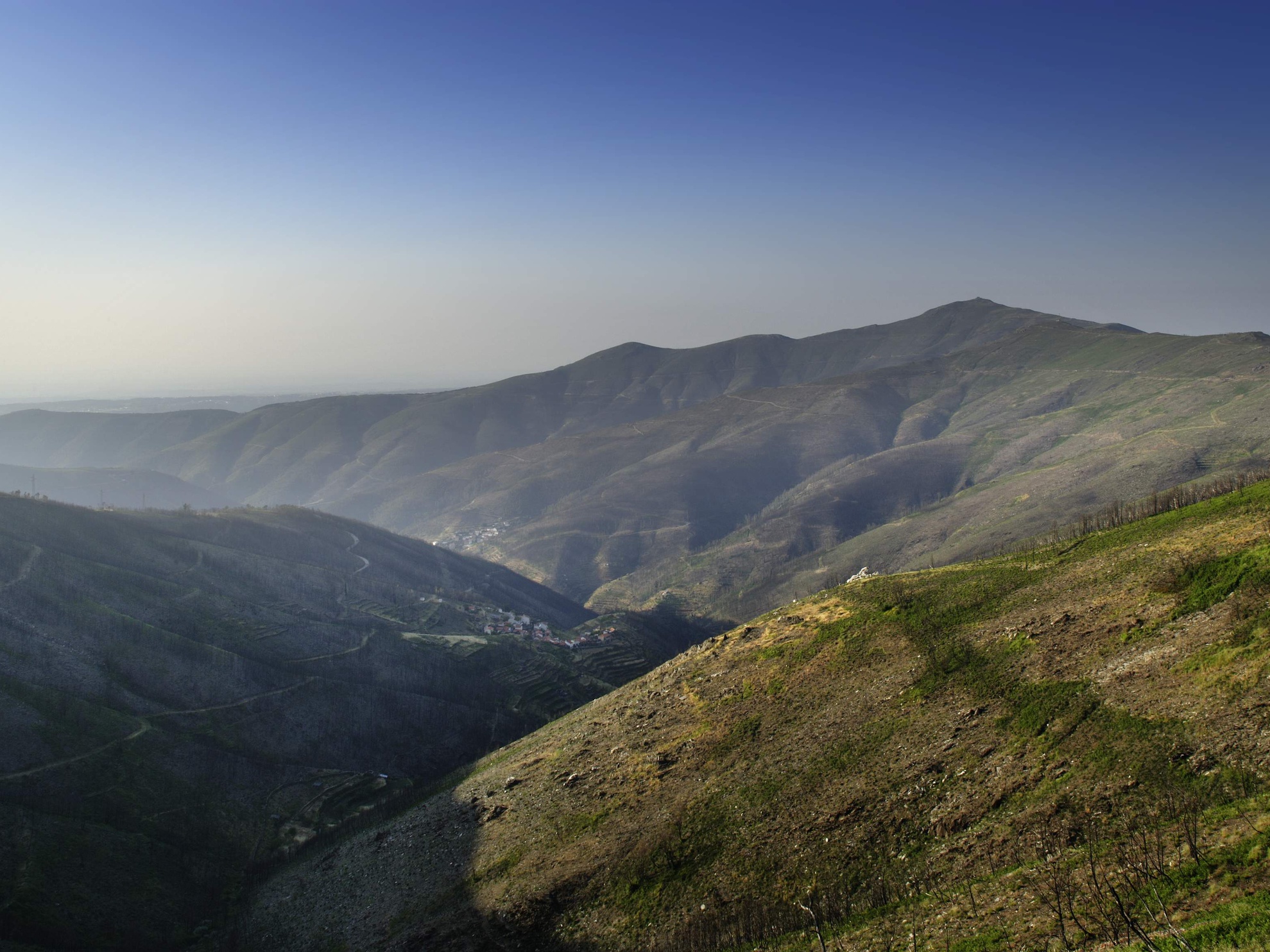
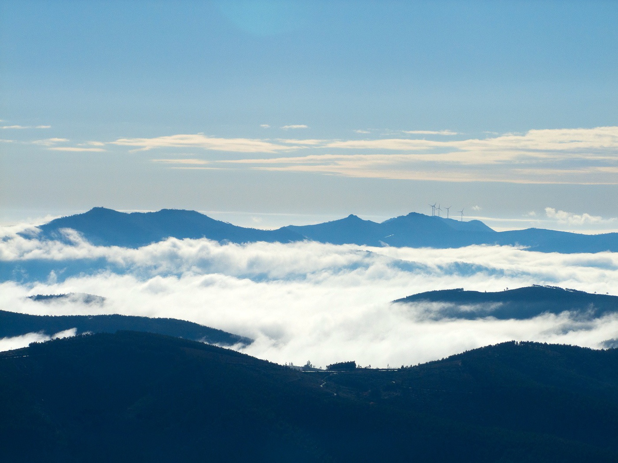
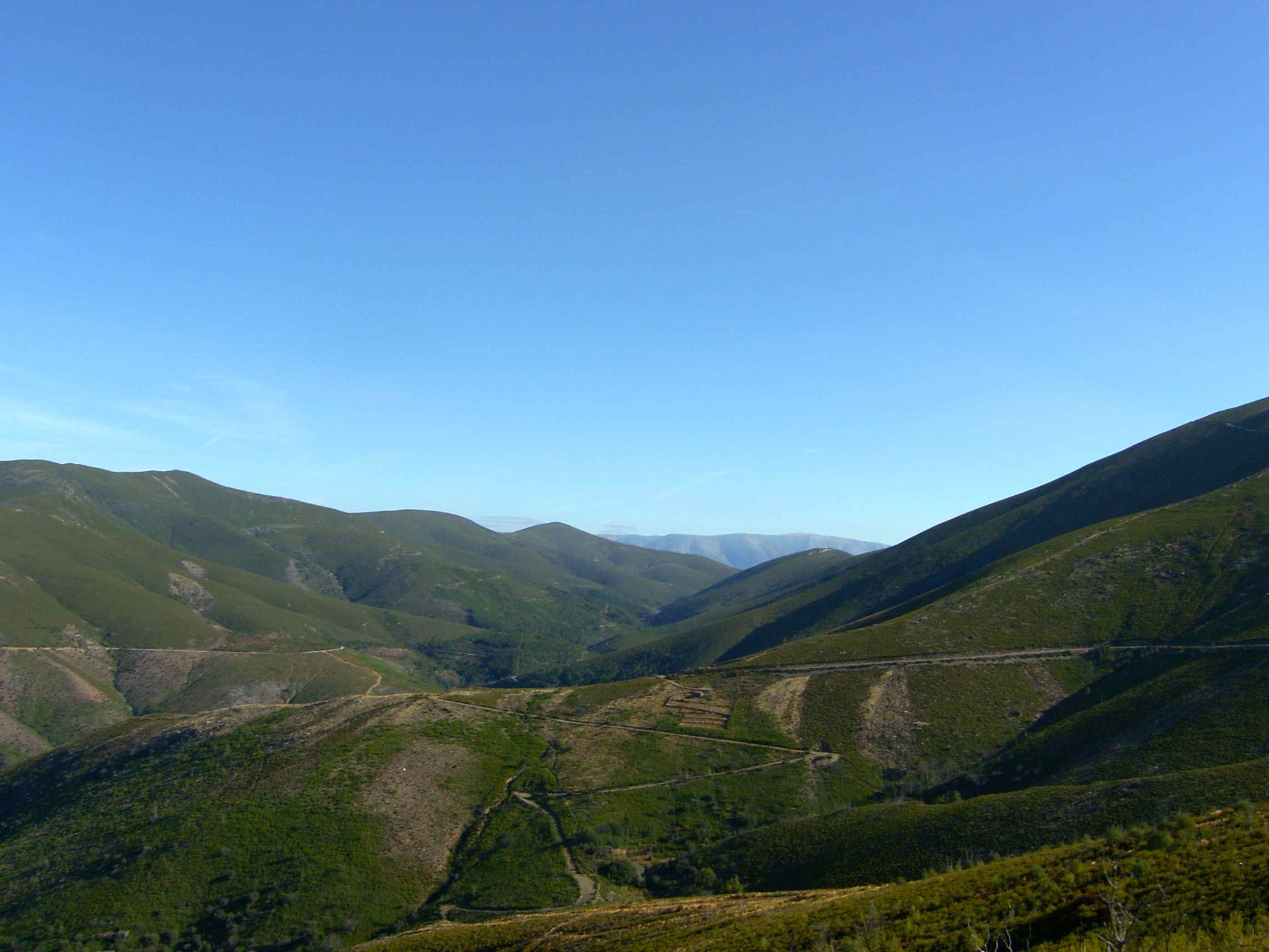
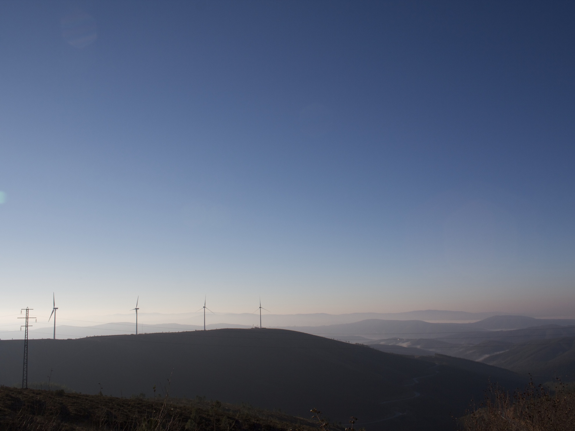
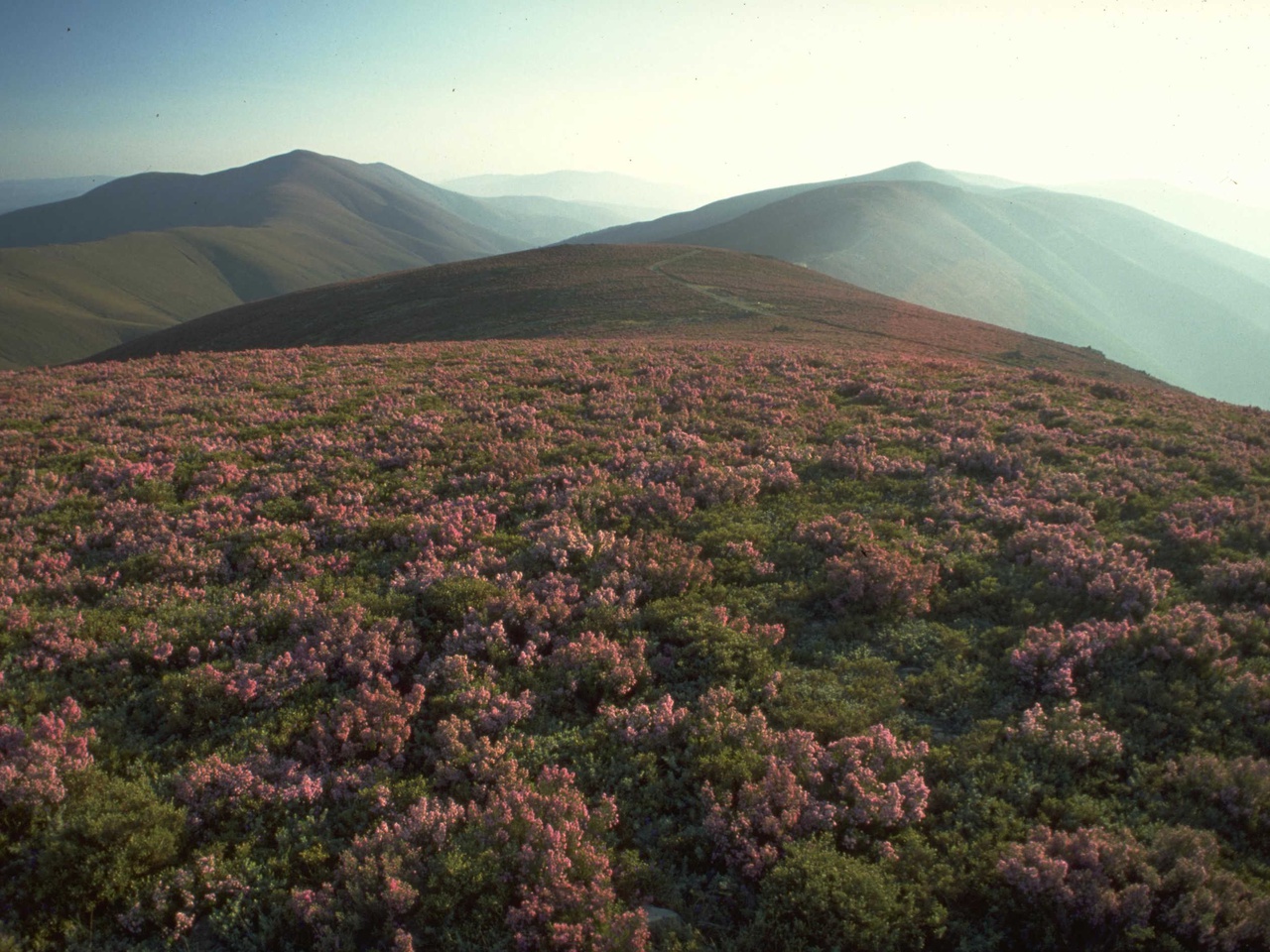
The territory of the Aldeias do Xisto has a group of mountains divided into two blocks by the so-called “Zêzere Gap”, the river that separates and unites this area:
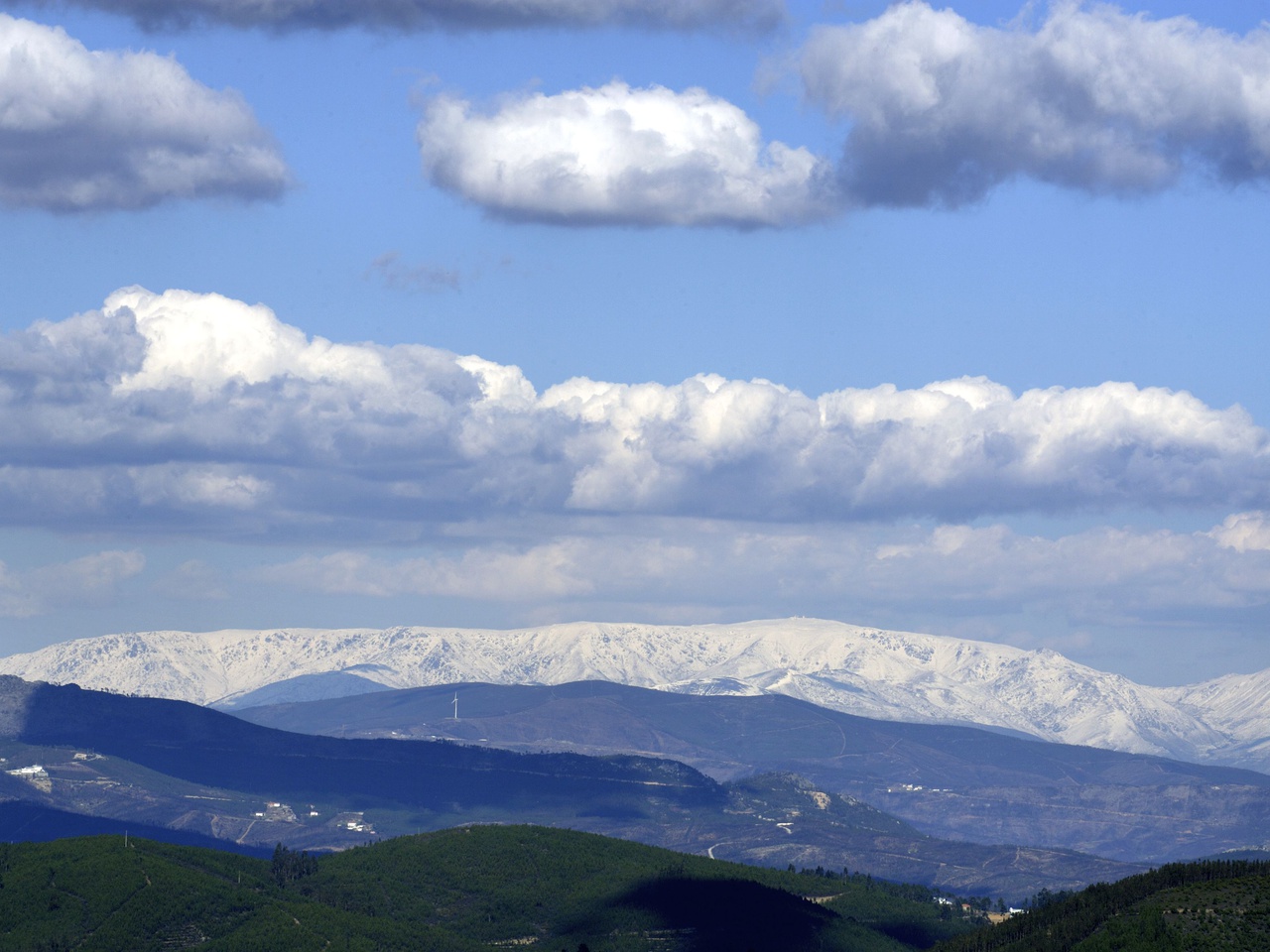
- on one side the Serra do Açor (1418 m) and the Serra da Lousã (1204 m)
- on the other side the Serra de Alvelos (1084 m), the Serra da Gardunha (1227 m) and the Serra do Muradal (915 m)
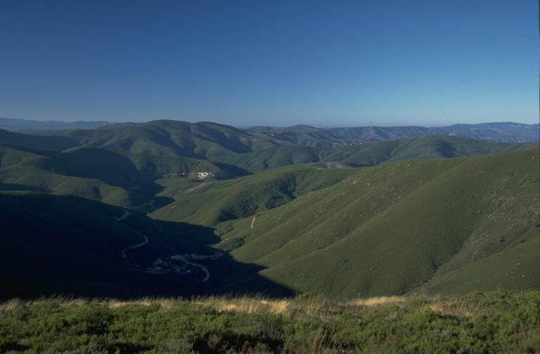
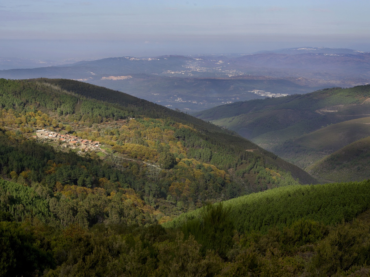
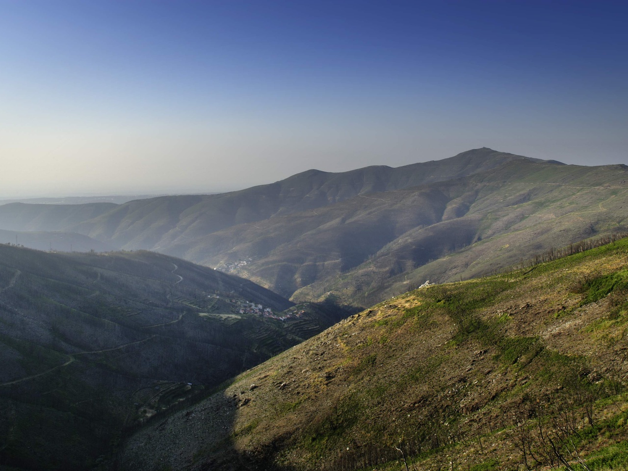
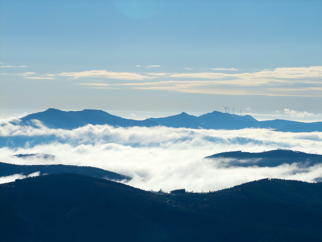
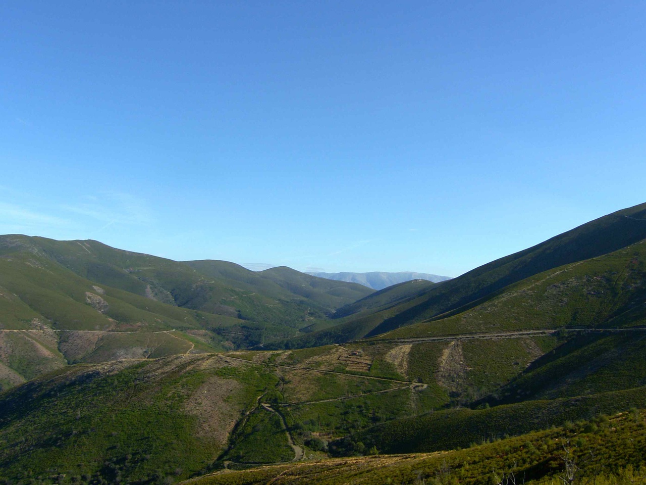
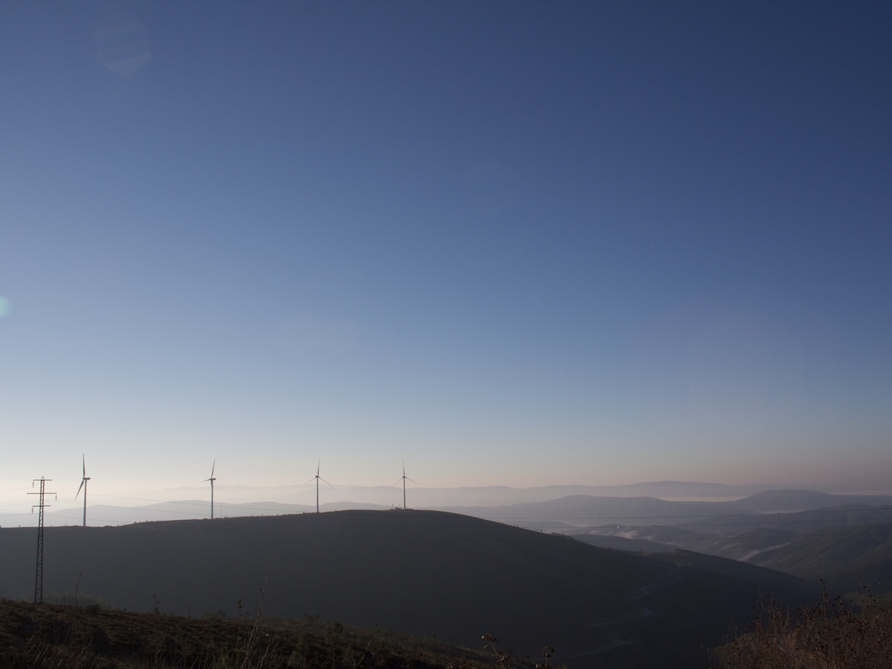
From the summit of any of them or from other high points, mountainous waves stretch to the horizon line, making you feel like you are on a tiny, lost island. When we travel along some roads we feel as if we are on board a small boat that it define the stormy waves. The wind towers stand out in the landscape and seem to correspond to the masts of fleets and armadas that trying not to sink beneath the waves.
The sea becomes rough as we catch sight of the quartzite ridges that seem to emerge at the top of certain mountain ranges: the Serra de São João, the Penedos de Góis, the Penedos de Fajão, the Serra do Vidual and the Estreito. When interrupted by water courses these quartzite formations give rise to major geomorphological accidents: the Fragas de São Simão, Senhora da Candosa, Garganta do Zêzere and the Portas do Almourão.
The River Ceira risers in the Serra do Açor, at an altitude of 1118m. 100km later, upon its arrival in Coimbra, it will flow into the Mondego. There are eleven Aldeias do Xisto within its drainage basin
The Alvoco and then the Alva, although they originate in the Serra da Estrela, are also fed on their left by the Serra do Açor. After meeting at the Ponte das Três Entradas (Três Entradas Bridge), the Alva will also meet the Mondego near Penacova. There are three Aldeias do Xisto within its catchment area.
The Zêzere enjoys the status of a great river, with a strong temperament, to which no riverside village remains indifferent.
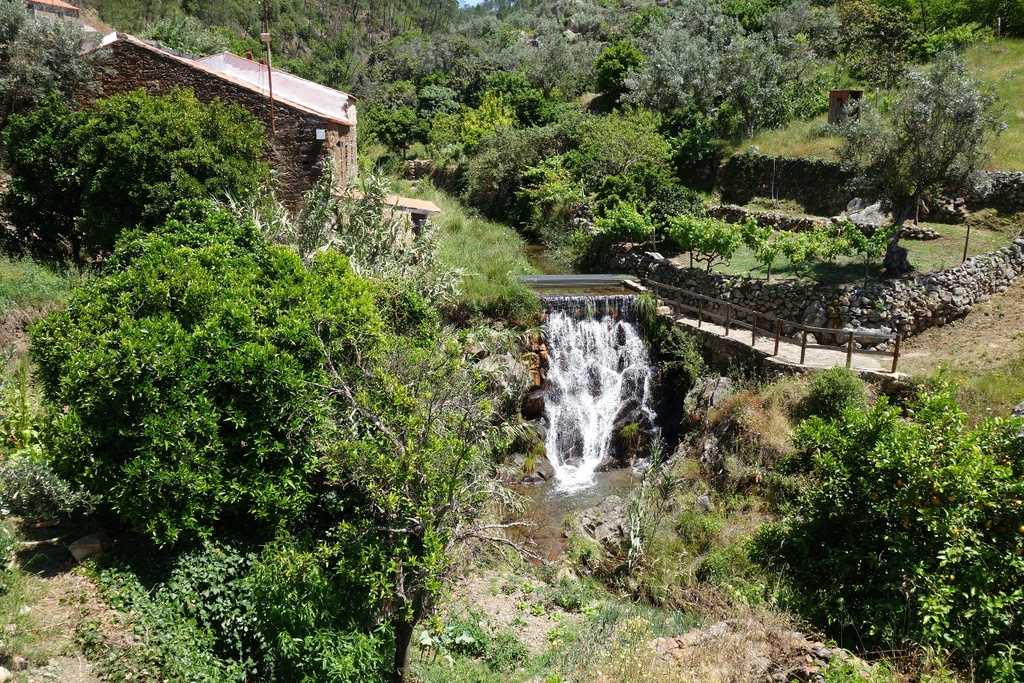
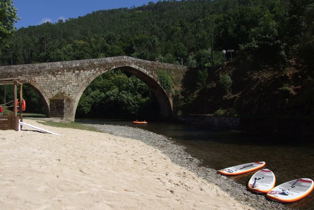
Human beings did not want these rivers to run wild, as they have always done. In these valleys, dug out by the waters in a hurry to become streams and rivers, dams have been built to transform the force of the flow of the waters into electricity. So today, the tranquil surfaces of several reservoirs mirror the landscapes that surround them.
The Ceira only stumbles at the Alto Ceira Dam (1949). With the construction of the Santa Luzia Dam (1942), the Unhais stream ceased to roar in the gorge of the Serra do Vidual. The Cabril Dam (1954) took its name from the restriction of the Zêzere River near Pedrógão Pequeno. In the end, just as the Zêzere tries to break free and run wild again, the Bouca Dam (1991) captures and tames it. But not even the gigantic Castelo de Bode Dam (1951) is able to store the huge amount of water that these mountains produce.
These form an immense lake of about 6100 hectares, which is almost continuous.
A mountain of water containing 2 billion cubic metres of fresh water.


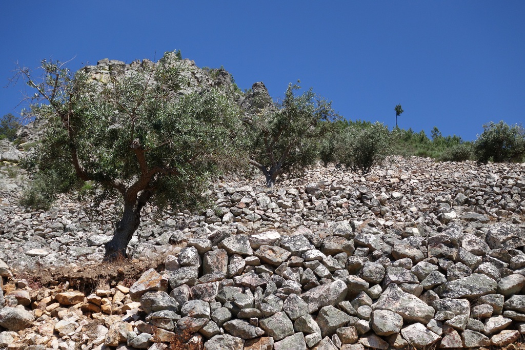
![Mining Territory [GRZ - MTB sector 3]](/media/filer_public/55/7b/557b2251-626f-458d-97c4-76f96a6e4f7c/aldeias-xisto-aldeias-xisto-terra_mineira_c381rea_de_descanso_do_barco__cabec3a7o_do_pic3a3o_gr33_-_grz_etapa__mam9mil.jpg.1024x683_q95_crop_upscale.jpg)
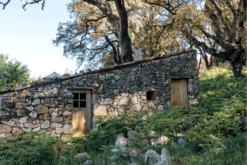

![Irrigating Cova da Beira [GRZ - MTB Sector 2]](/media/filer_public/f0/25/f0253b52-af95-475a-a6c1-6eccced0fca6/aldeias-xisto-aldeias-xisto-irrigando_a_cova_da_beira_peso__barco_gr33_-_grz_etapa_6_ssc6w0b.jpg.1024x683_q95_crop_upscale.jpg)
