grande rota do zêzere trail
370km from source to mouth of one of the wildest rivers in Portugal. A sporting challenge on foot, by bike or canoe. A deep immersion in the natural and cultural diversity that makes the Zêzere river valley a unique landscape in the country.
Presentation
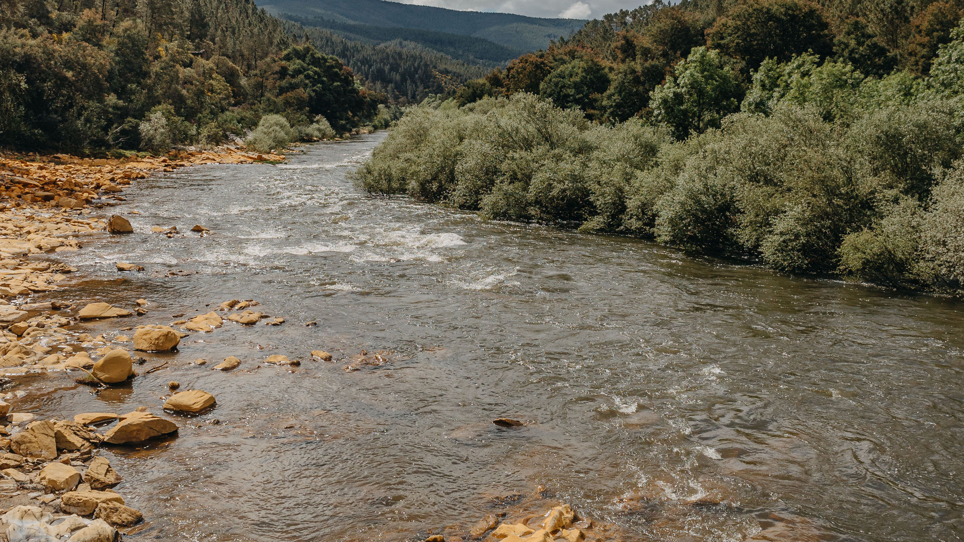
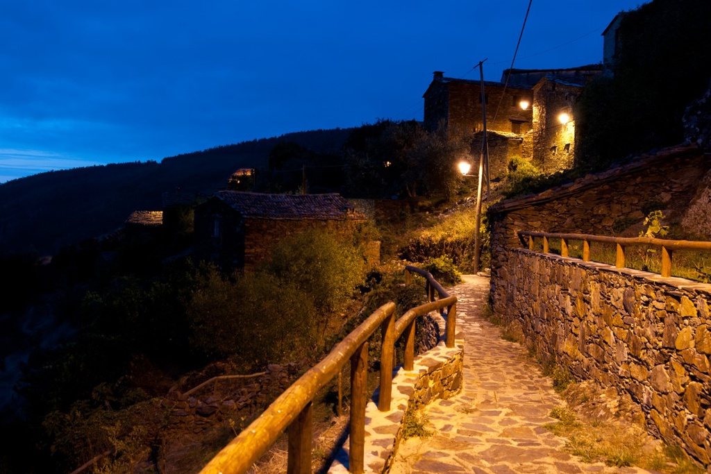
The valley of the River Zêzere is one of the terrains that make up the Aldeias do Xisto area and one of the most environmentally diverse natural landscapes in the country. Nature in an almost wild state, combining in perfect harmony with human occupation that, throughout the ages, has adapted to the passage of the river, living from it and with it. The creation of the GRZ- Grande Rota do Zêzere trail (GR 33) was designed to allow users to enjoy closer contact with this natural and cultural heritage. The 370km long GRZ passes through 13 counties, bringing together important national brands: Serra da Estrela, Aldeias do Xisto, Castelo de Bode and the River Tejo.
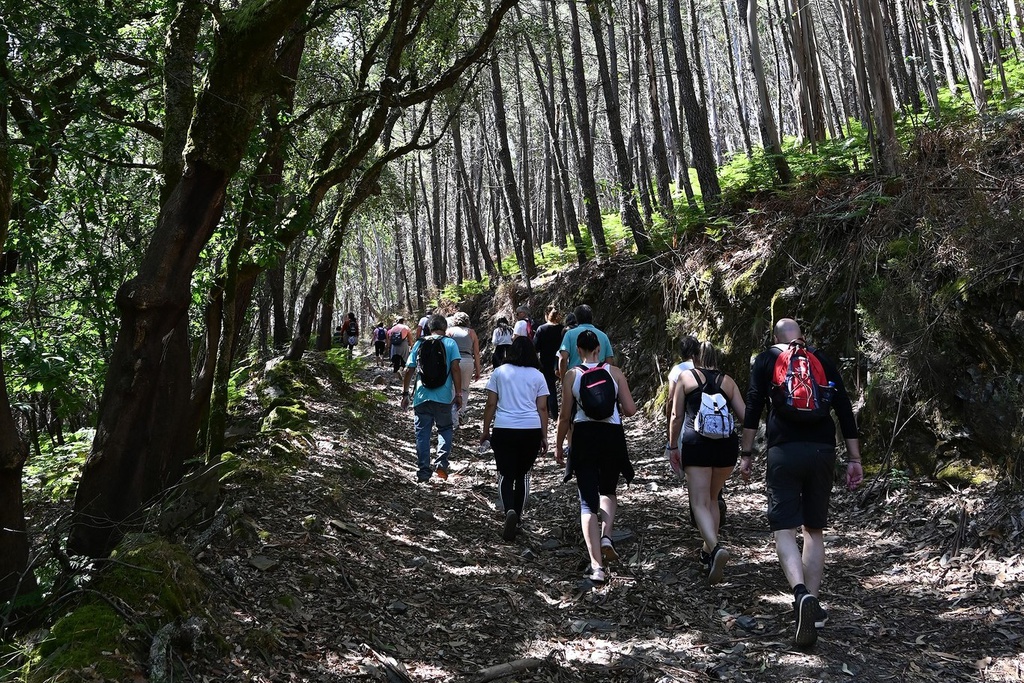
On foot, by bike or canoe
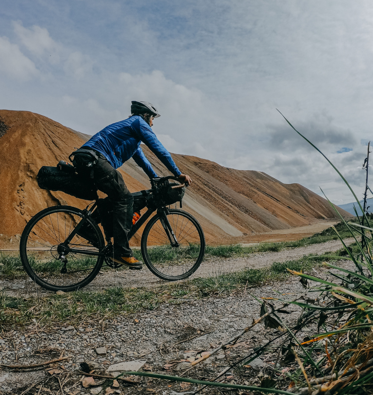
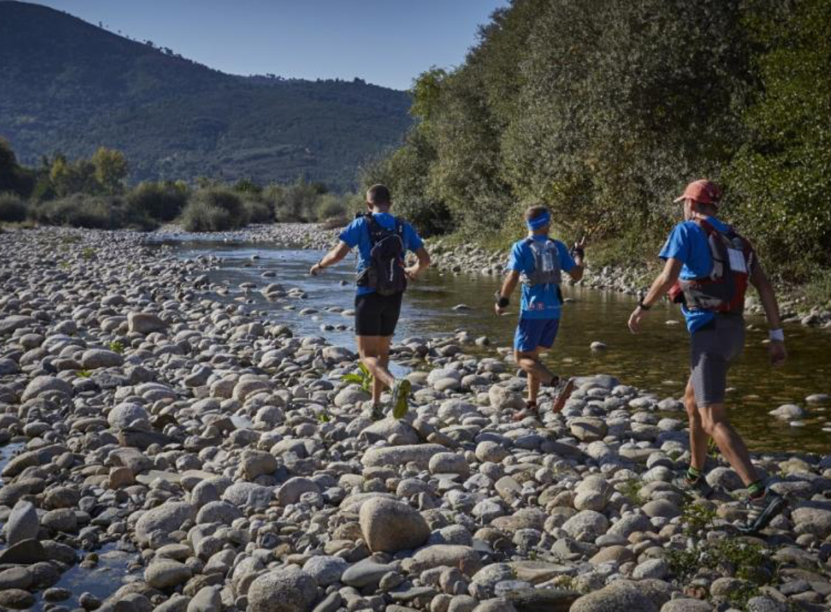
The route is designed to be intermodal, and can be carried out on foot, by bike or canoe. It can also take place in a continuous and
linked way, in sections or even in multimodal circuits, using more than one modality. There are complementary routes, such as the Schist Paths routes, around the GRZ. And off-shoots from the main route that take users to nearby geographical areas and places of interest, such as the Aldeias do Xisto, the river beaches, the viewpoints (link viewpoints), the reservoirs and dams, among others.
GRZ Ambassadors
In 2015, climber João Garcia, canoeist Emanuel Silva (silver medal at the London Olympics), canoeist Francisca Laia (silver medal in K1 200 at the under-23 canoeing World Championships), Olympic mountain biking athlete David Rosa, form some of the renowned national athletes who joined the launch event of the Great Zêzere Route becoming ambassadors of the route.
Wild waters
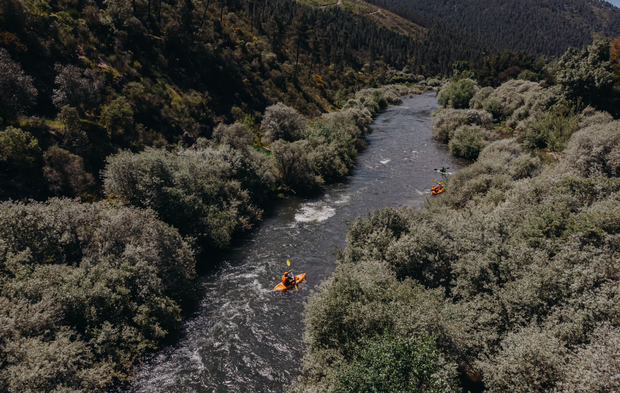
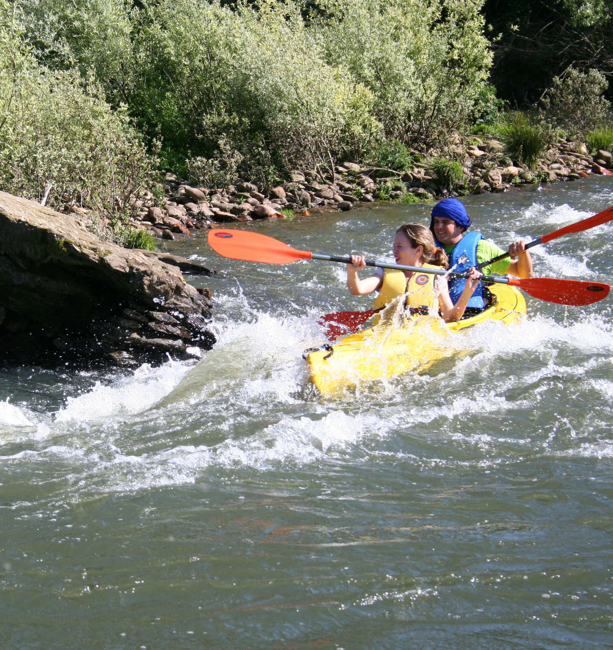
In spring, the wild waters of the Zêzere River guarantee the most experienced canoeists an incredible challenge. A surprising even for those who already know the world and have walked many trails, as is the case of the GRZ ambassadors, who point out that this is a complete and enriching life experience. The stretch between Silvares and the Aldeia do Xisto of Barroca annually hosts a canoeing event. Keep an eye on our agenda.
how to use the route?
The route is divided into nine distinct parts, which reflect the characteristics of the river and its surroundings. Each of these units includes several stages, duly signposted and supported by information boards which provide the most important information about the route.
- sector 1: the wild start
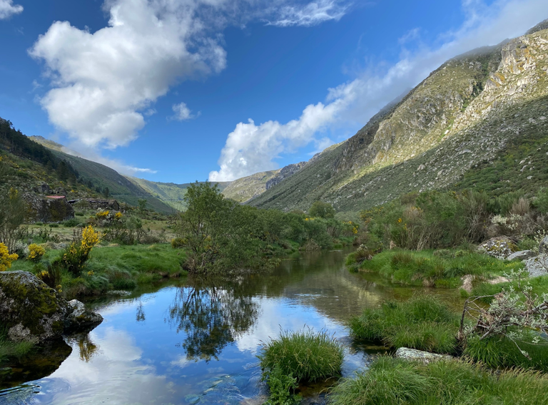
Spanning 30 km, The Wild Start is the first of nine stages that make up the GRZ. It starts at Covão d'Ametade, in the Estrela mountain range, the source of river Zêzere, and passes through Manteigas, the Amoreira Valley, and ends at the Valhelhas rest area.
This sector contains 3 walking stages and 1 for mountain bike.
- sector 2: irrigating cova da beira | 55,7 km
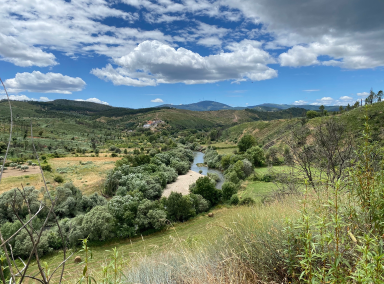
Spanning 55.7 km, Irrigating Cova da Beira is the second of nine sectors that make up GRZ. It connects the Valhelhas rest area, in the municipality of Guarda, to the Barco rest area, in the municipality of Covilhã, passing through Vale Formoso, Borralheira, Ponte Alvares, Tortosendo and Peso.
This sector contains 7 walking stages and 1 for mountain bike.
- sector 3: mining territory | 23,5 km
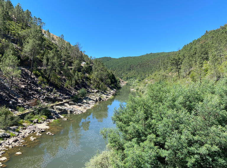
Spanning about 22 km, Mining Territory is the third sector of the GRZ. It starts at the Barco rest area, in the municipality of Covilhã, and ends in Dornelas do Zêzere, in the municipality of Pampilhosa da Serra. As the name implies, the route passes through the mining landscape of Cabeço do Pião and the Aldeia do Xisto of Barroca.
This sector contains 3 walking stages 1 for mountain bike and 1 canoeing.
- sector 4: meanders | 23,1 km
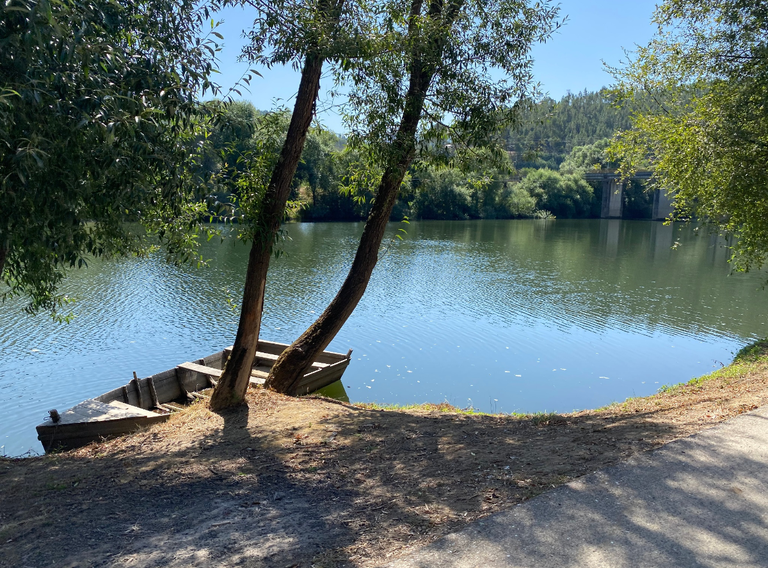
Spanning 23.1 km, Meanders is the 4th stage in the Multistage Route of Zêzere. It connects Dornelas do Zêzere, in the municipality of Pampilhosa da Serra, to Cambas, in the municipality of Oleiros. It passes through the Aldeias do Xisto of Janeiro de Cima and Janeiro de Baixo and their respective rest areas as well as Admoço.
This sector contains 3 walking stages 1 for mountain bike and 1 canoeing.
- sector 5: under the sign of cabril | 62 km
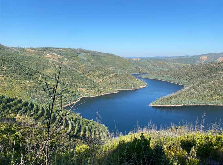
Under the Sign of Cabril is the 5th sector in the Multistage Route of Zêzere. Spanning 62 km, it connects Cambas, in the municipality of Oleiros, to Pedrógão Pequeno, in the municipality of Sertã. It goes through Abitureira, the Felgueiras rest area, the Aldeia do Xisto of Álvaro, the Frazumeira rest area, Sobral, Madeirã, the Arrochela rest area and Sra. da Confiança.
This sector contains 9 walking stages 1 for mountain bike and 1 canoeing.
- sector 6: just you and the river | 22,9 km
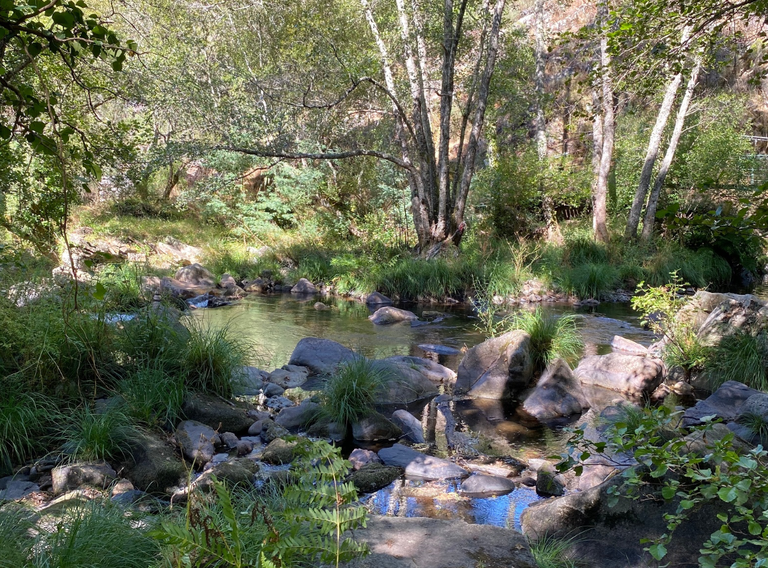
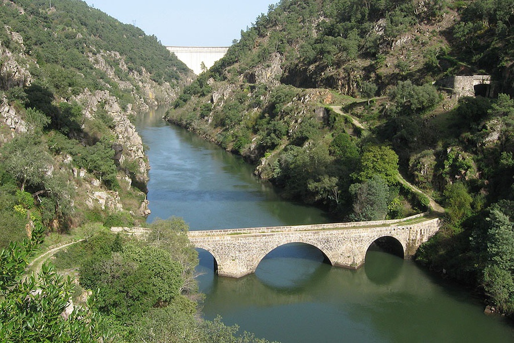
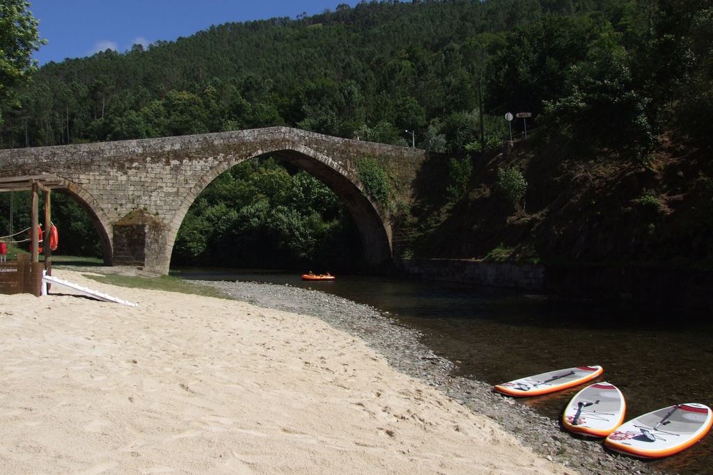
Just You and the River is the 6th stage in the Multistage Route of Zêzere. Spanning 22.9 km, it runs between Pedrógão Pequeno, in the municipality of Sertã, and Bouçã, in the municipality of Figueiró dos Vinhos. It passes through the Philippine Bridge, the Cabeço Mourisco rest area, North Atalaia, South Atalaia, the Bouçã Viewpoint rest area and Bouçã itself.
This sector contains 6 walking stages 1 for mountain bike and 1 canoeing.
- sector 7: return to serenity | 28,4 km
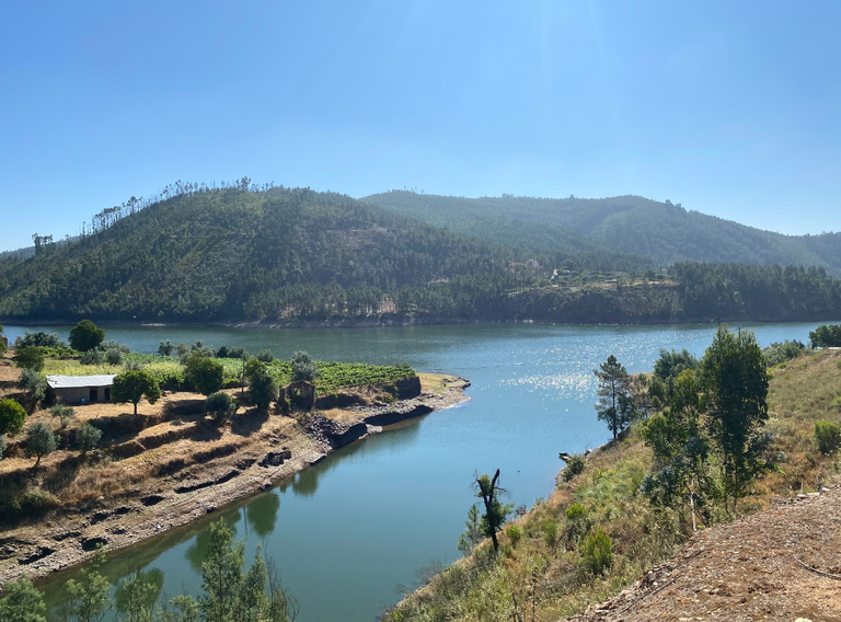
Return to Serenity is the 7th Sector and spans 28.4 km. The route connects Bouçã, in the municipality de Pedrógão Grande, to the Serrão Valley rest area, in the municipality of Ferreira do Zêzere. It goes through Prudência, Foz de Alge, the Valbom rest area and Dornes. This sector contains 5 walking stages 1 for mountain bike and 1 canoeing.
- sector 8: river branches | 71,4 km
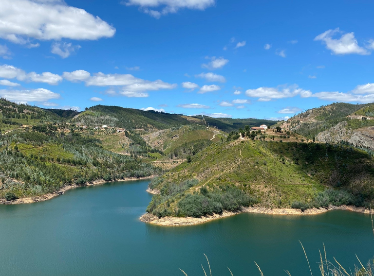
The eighth and penultimate sector of the Multistage Route of Zêzere spans a total of 71.4 km, and connects the Serrão Valley rest area, in the municipality of Ferreira do Zêzere, to Penedo Furado in the municipality of Vila de Rei.
This sector contains 9 walking stages, 1 for mountain bike and 2 canoeing.
- sector 9: the tagus route | 54,7 km
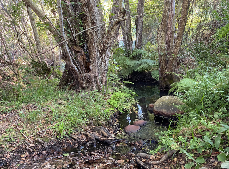
The Tagus Route is the 9th and final sector in the Multistage Route of Zêzere. Spanning 54.7 km, this stage goes from Penedo Furado, in Vila de Rei, to Constância, passing through Matagosa, Fontes, the Souto rest area, the Cabeça Gorda rest area, Aldeia do Mato, Martinchel and the Live Science Centre in Constância.
This sector contains 8 walking stages 1 for mountain bike and 1 canoeing.


