VILLAGES

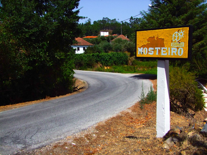
Mosteiro

zêzere
ZêzereMosteiro
Mosteiro
mosteiro, pedrógão grande
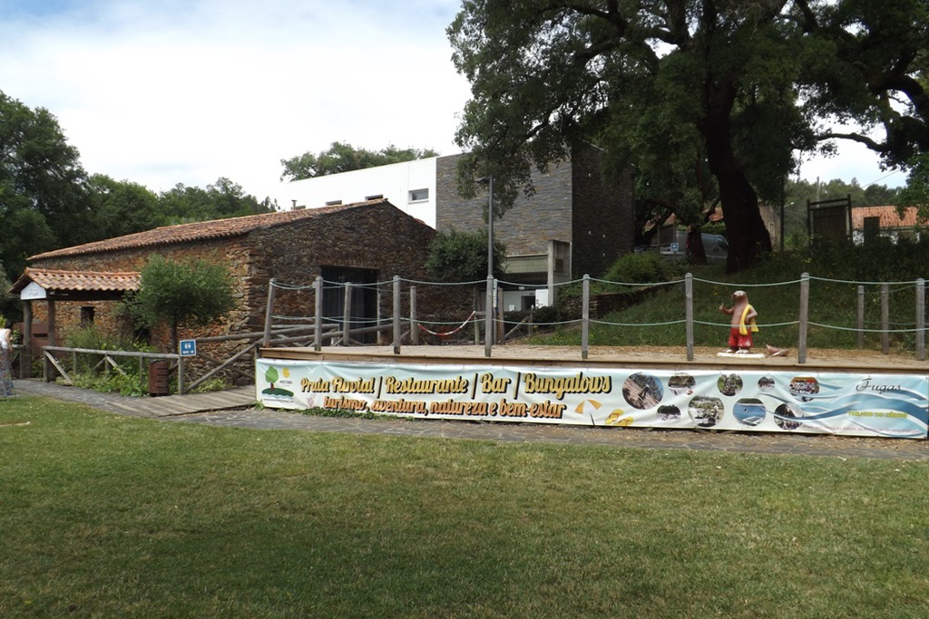
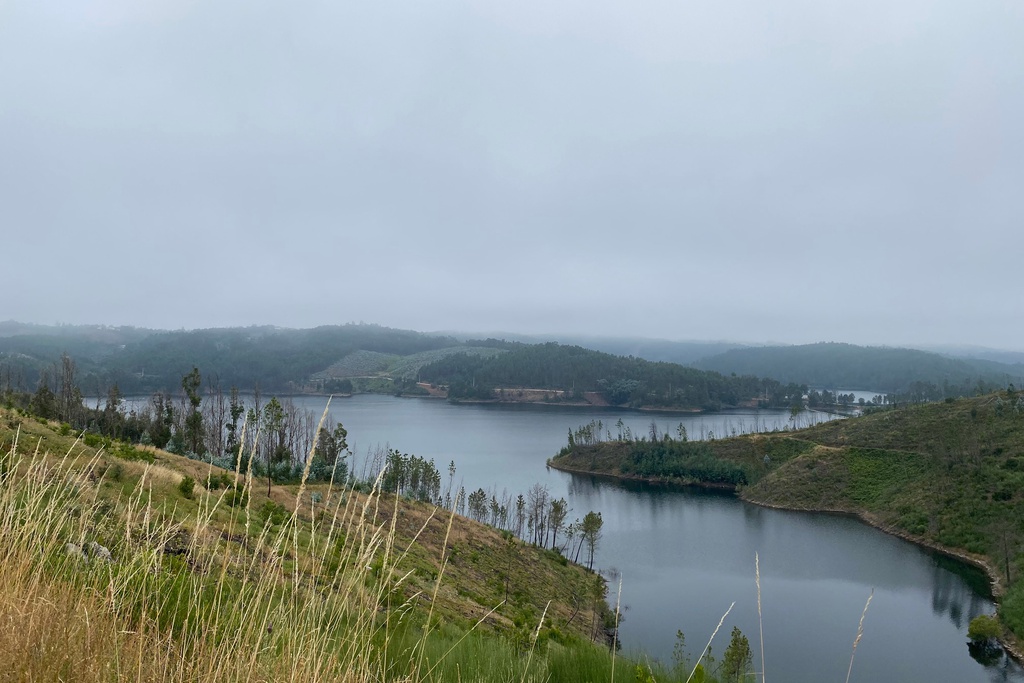
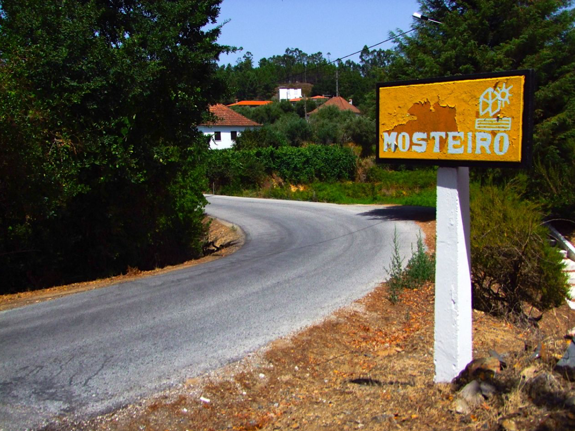
Uma aldeia na praia. The village is situated at the bottom of a valley, as if in constant search of the water which, in other times, used to mean livelihood. Now it means recreation.

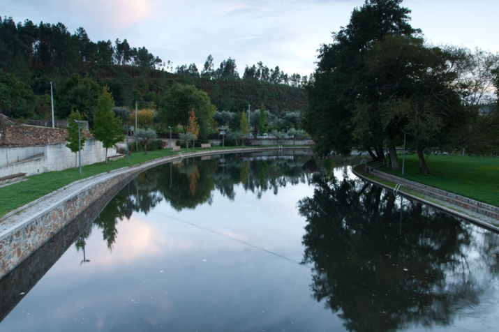
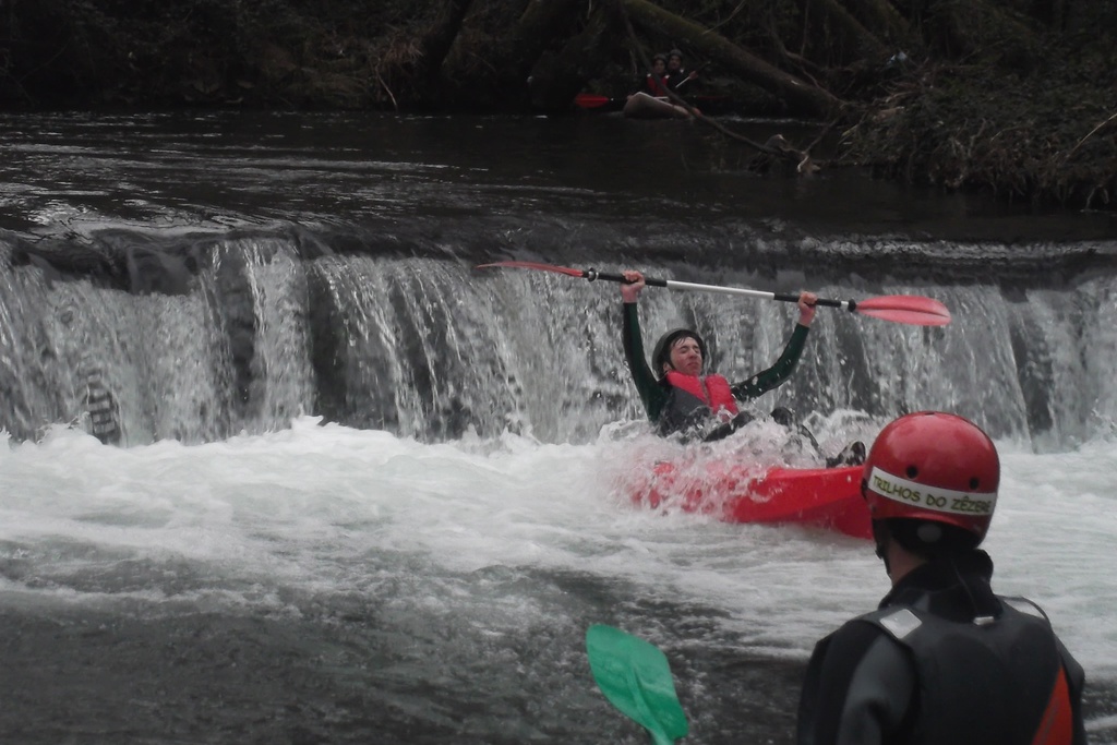
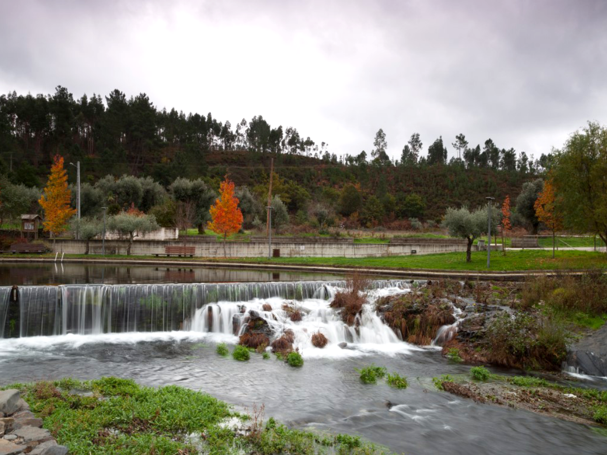
Everything in this village has always revolved around the water. Today it stands for recreation and is a perfect reason for an extended visit. Especially in the hot summer days: Mosteiro enjoys the privilege of having a beachread in xistopediaThis river beach offers visitors a range of… within the village. We invite you not only to visit, but the dive headlong into this village.

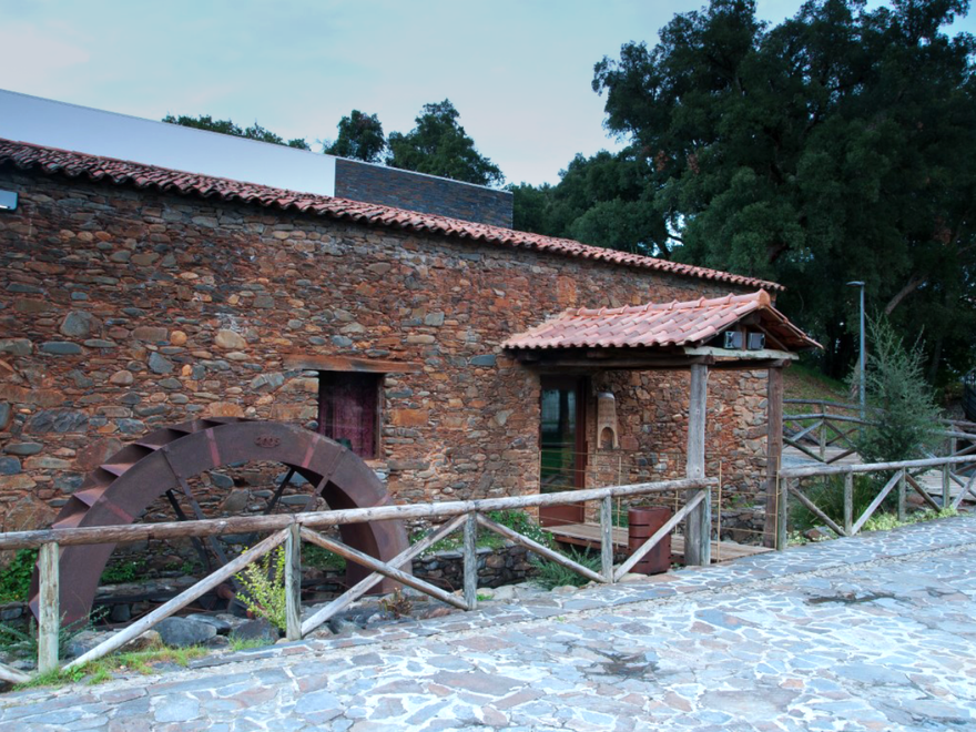
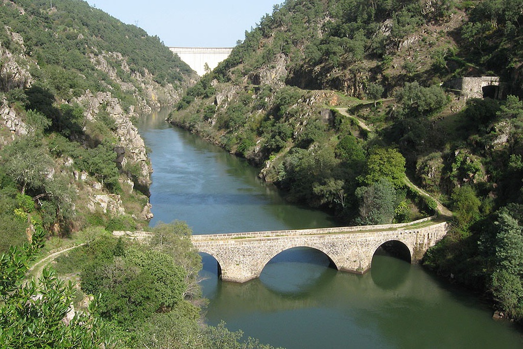
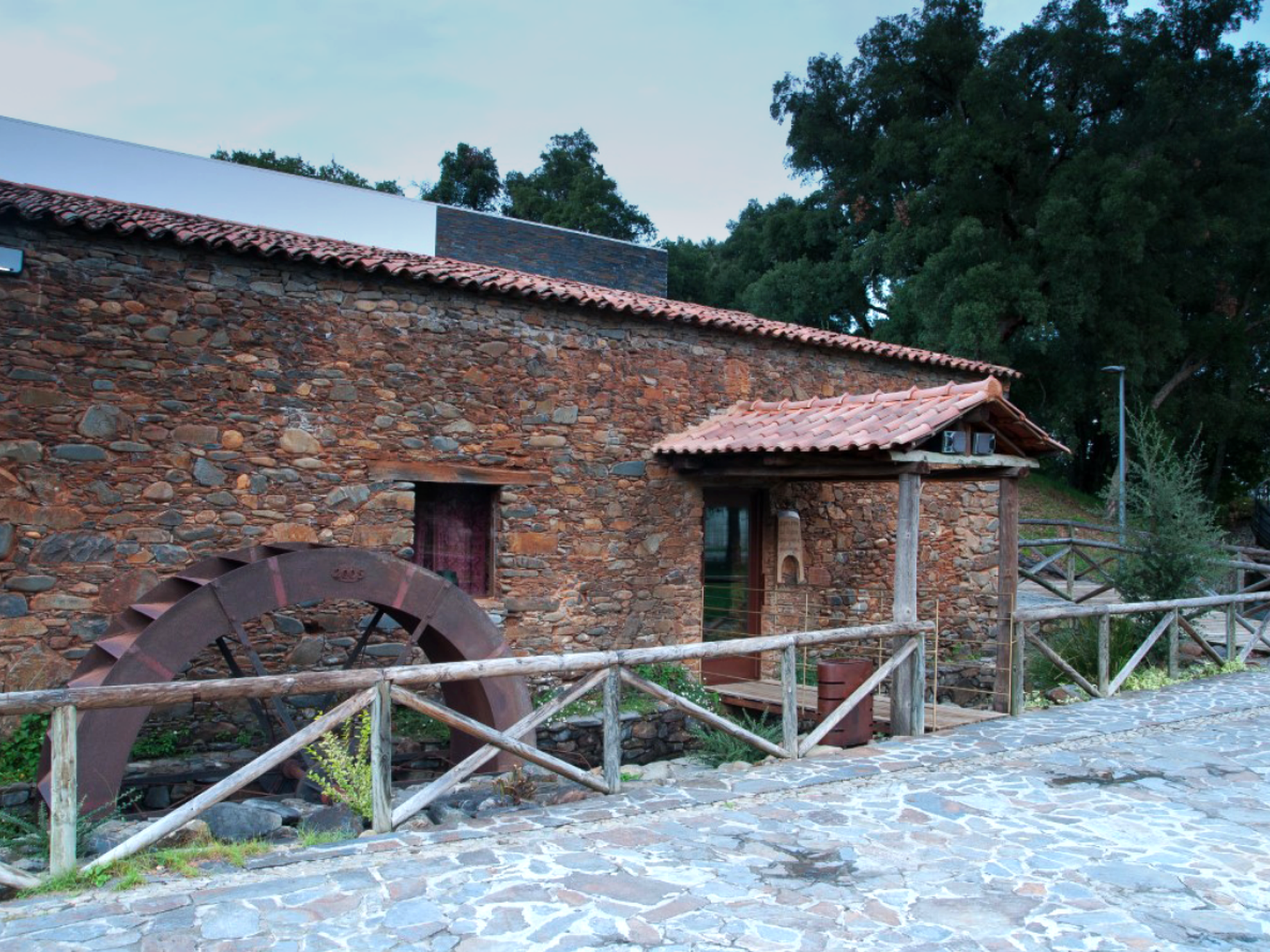
Mosteiro is a small rural place where water and agriculture are fundamental factors that have positively shaped its development – it has the largest irrigated area in the municipality of Pedrógão Grande. The Village of Mosteiro grew on the right bank of the Ribeira de Pera (Pera stream). The fertile lands close to the river bed fostered the creation of vegetable plots and mills that fed the villagers who lived off subsistence farming. For that very reason, must-sees include the mills, the flumes, the olive presses and irrigated fields that for centuries were the basic infrastructures this village depended on for survival and that now serve as tourist attractions.

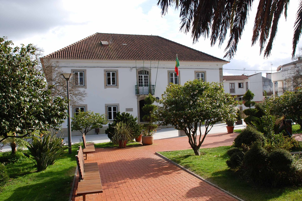
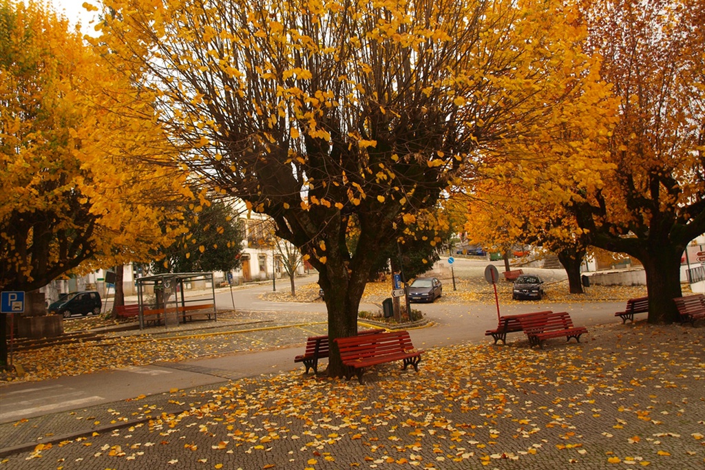
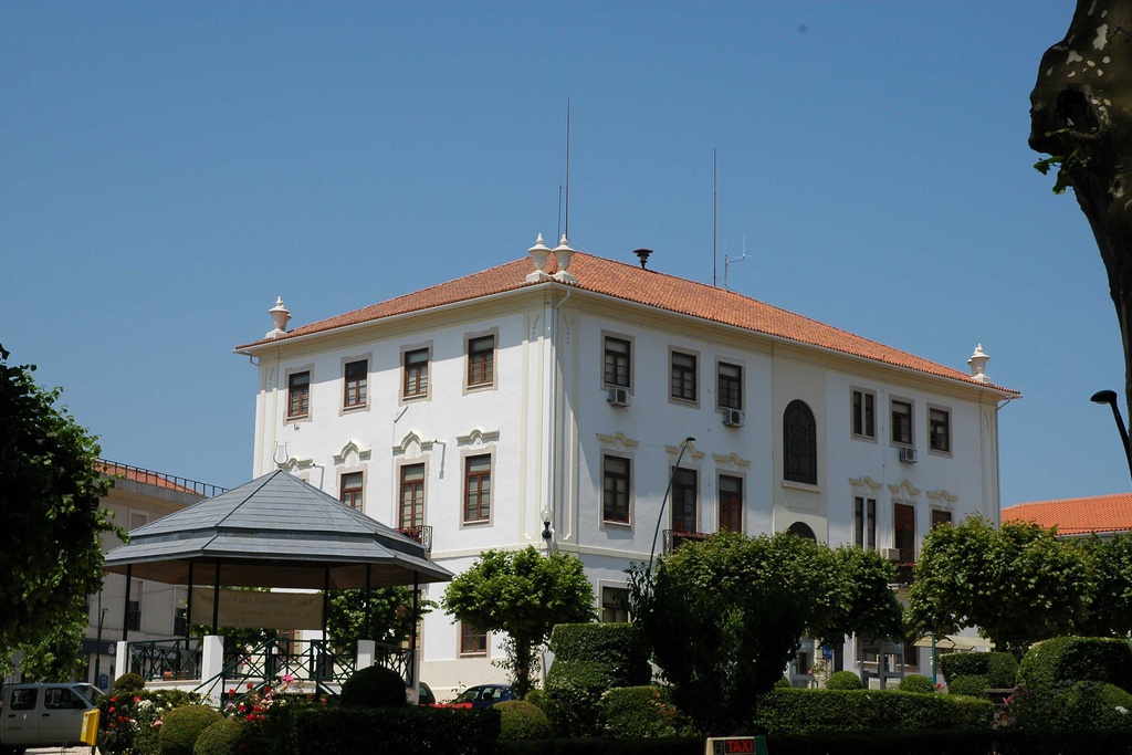
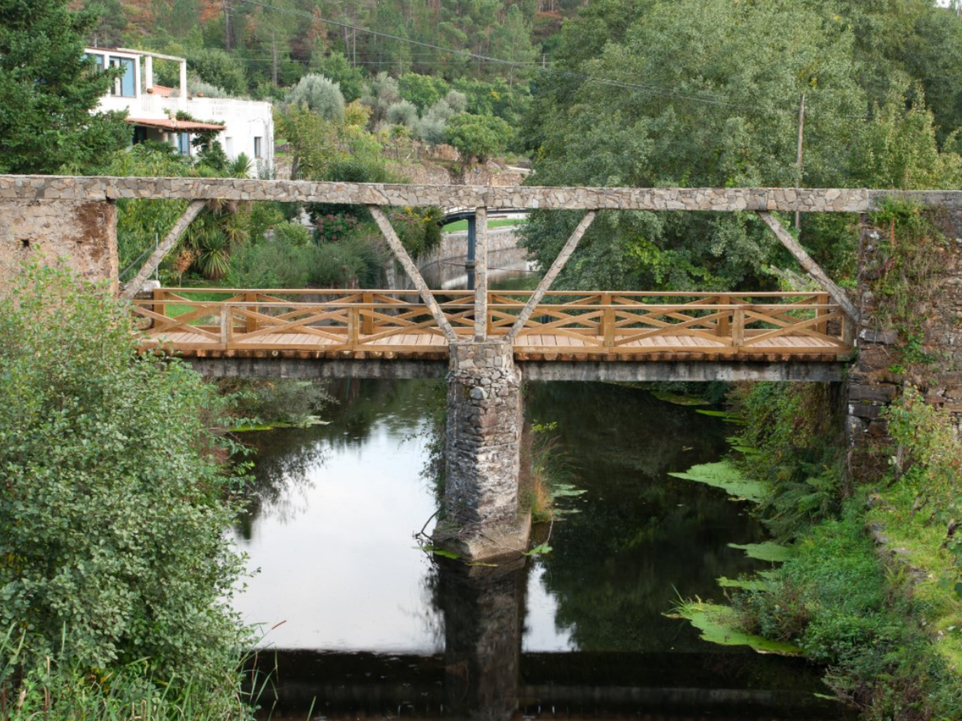
The village was sited here to take advantage of the open configuration of the valley that provided farmland. Divided by the stream, the part of the village on the left bank has a complex and diffuse layout, only organised around the small church, the recent building of the Mosteiro Association or the main road that cuts through the village.

  • territory

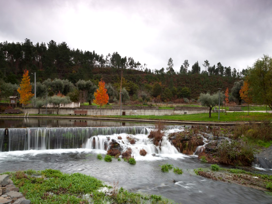
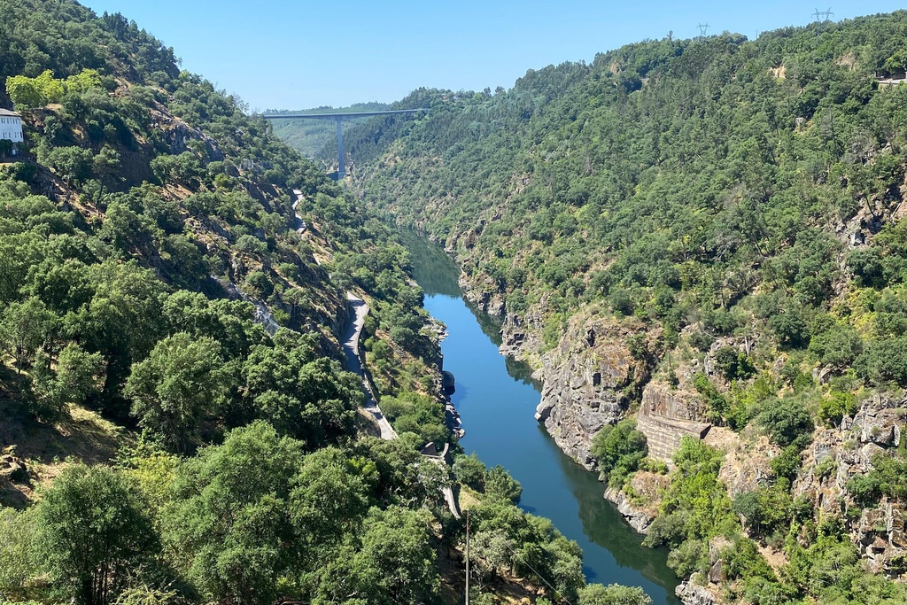
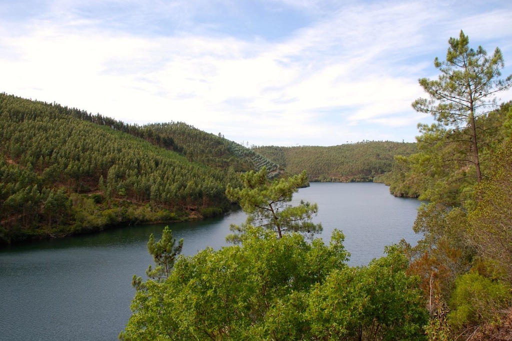
    The village of Mosteiro is in the municipality of Pedrógão Grande. It is situated on both banks of the Ribeira de Pera, but mainly on the left bank. The valley of this stream is one of the main depressions in the southern slope of the Serra da Lousã. The village settled at this spot to take advantage of the more open configuration of the valley and consequent availability of agricultural land. Mosteiro, like Castanheira de Pêra and other places along the Ribeira de Pera, adapted to these valleys and transformed the stream to create weirs, flumes and irrigation zones to provide water for domestic use and to irrigate the fields.

  • nature

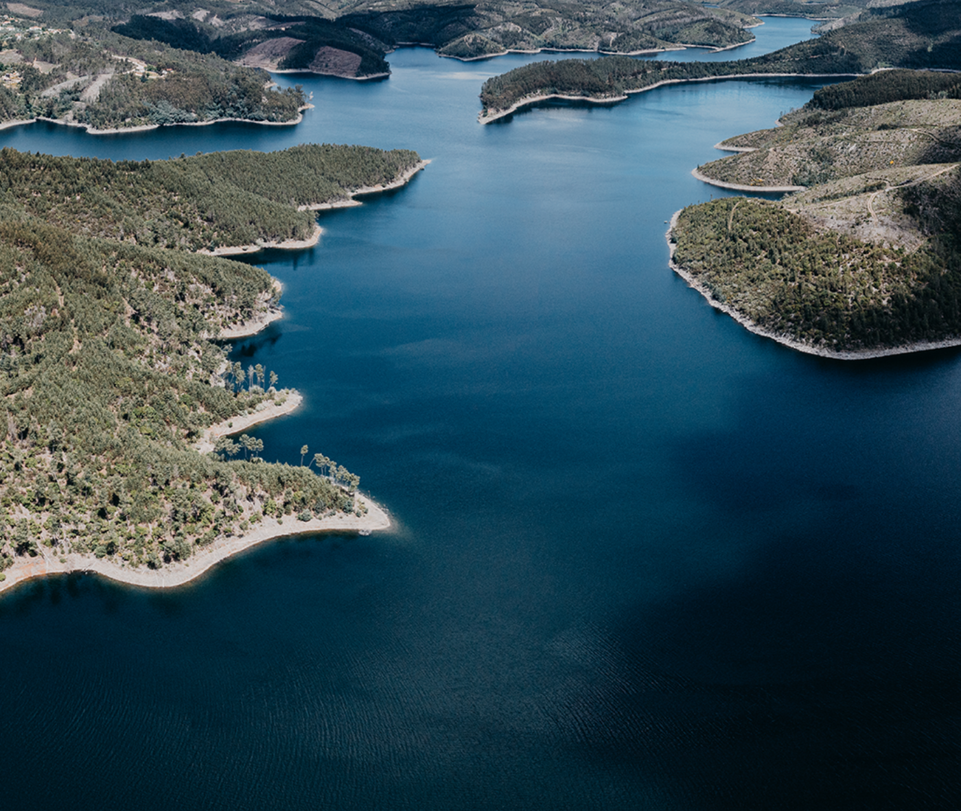
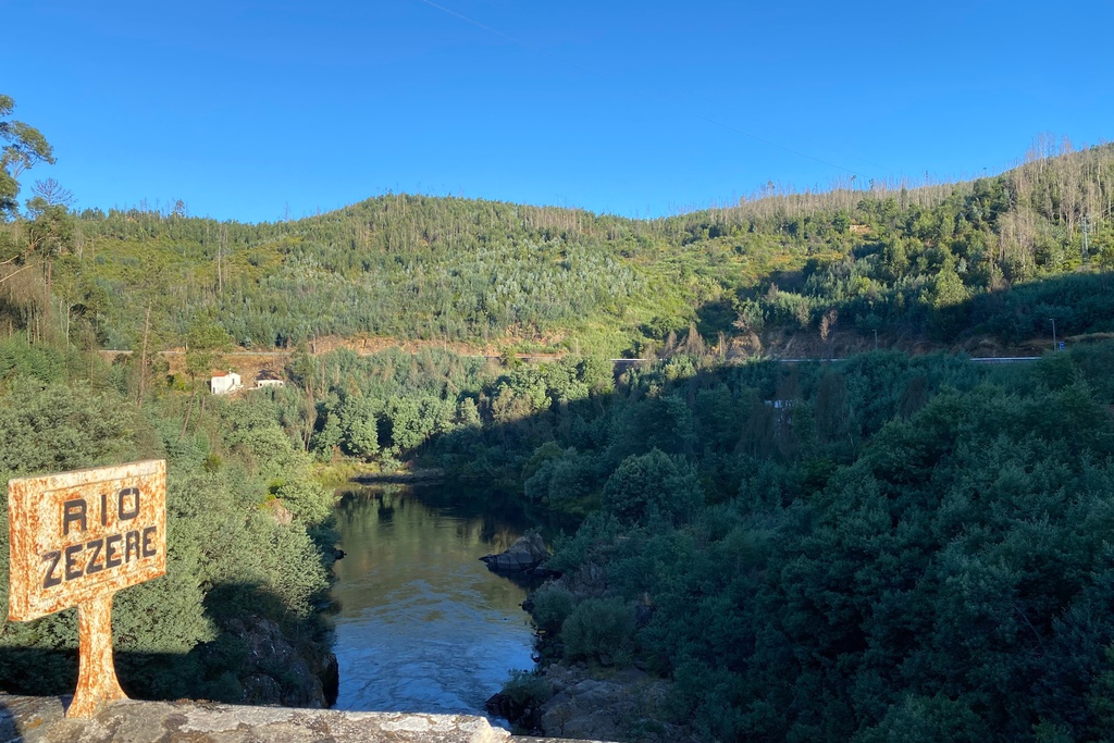
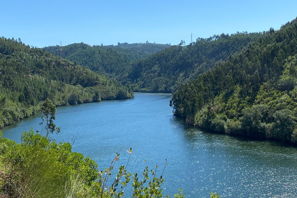
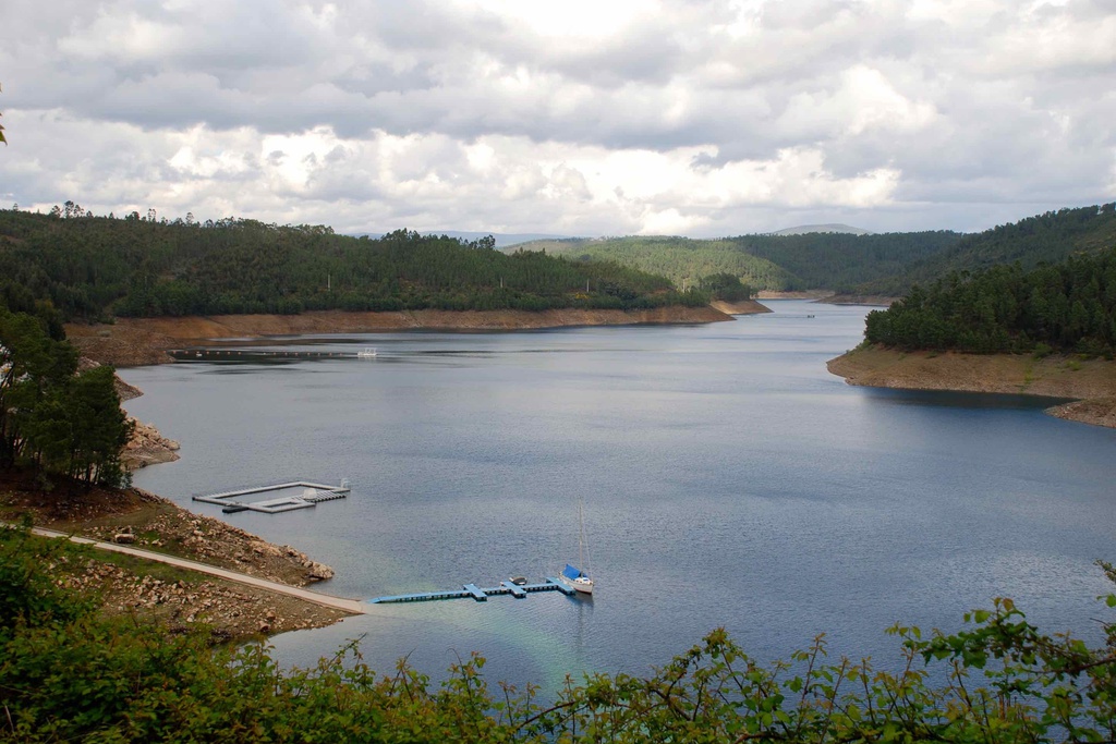
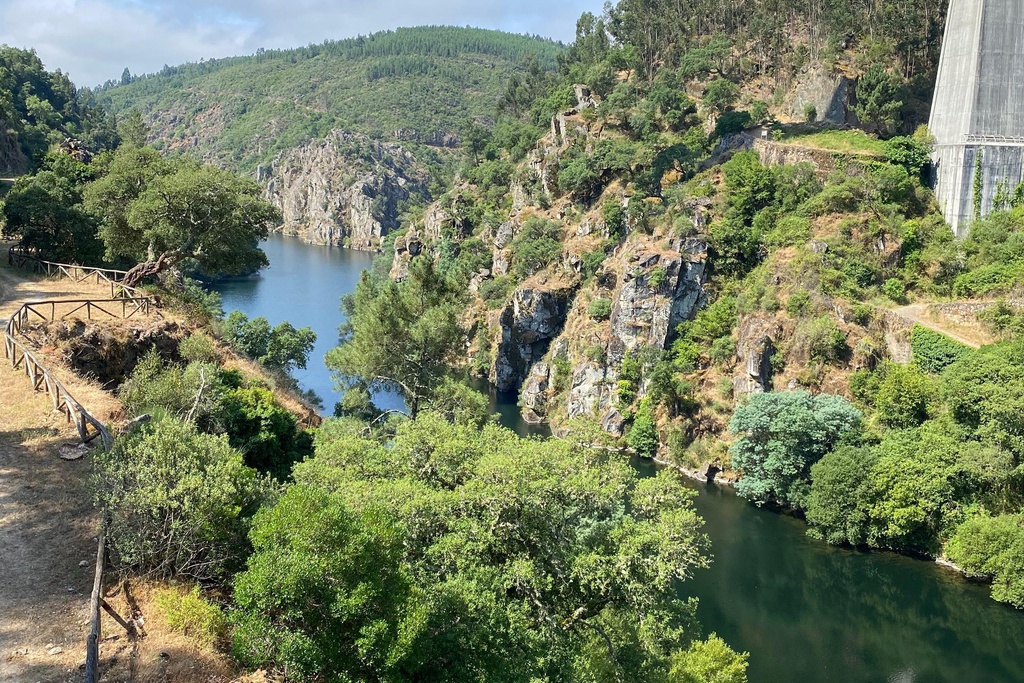
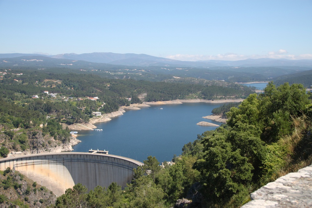
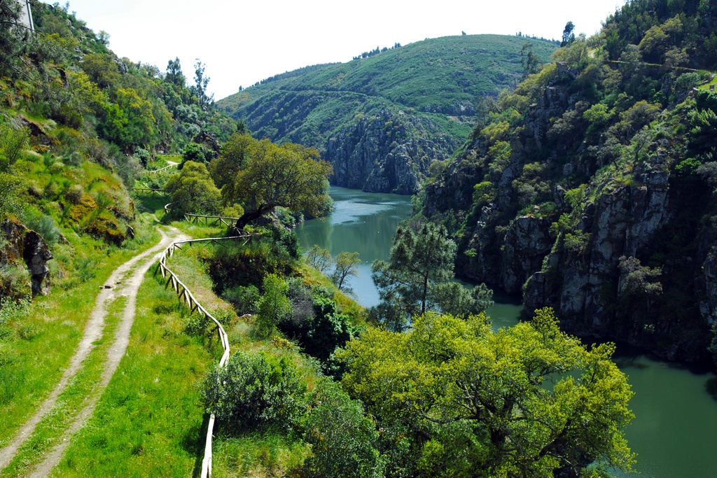
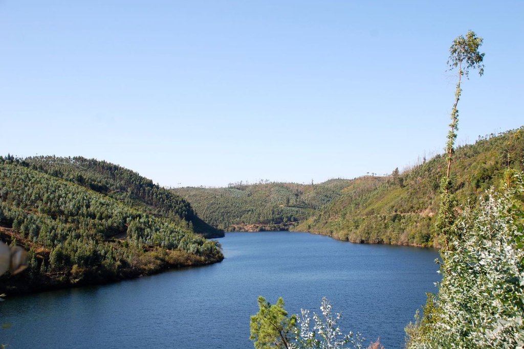
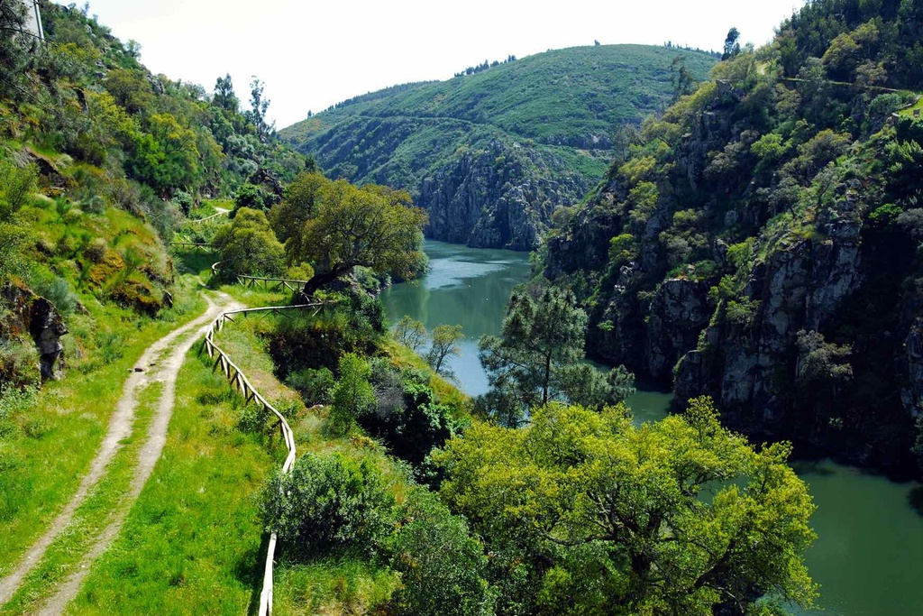
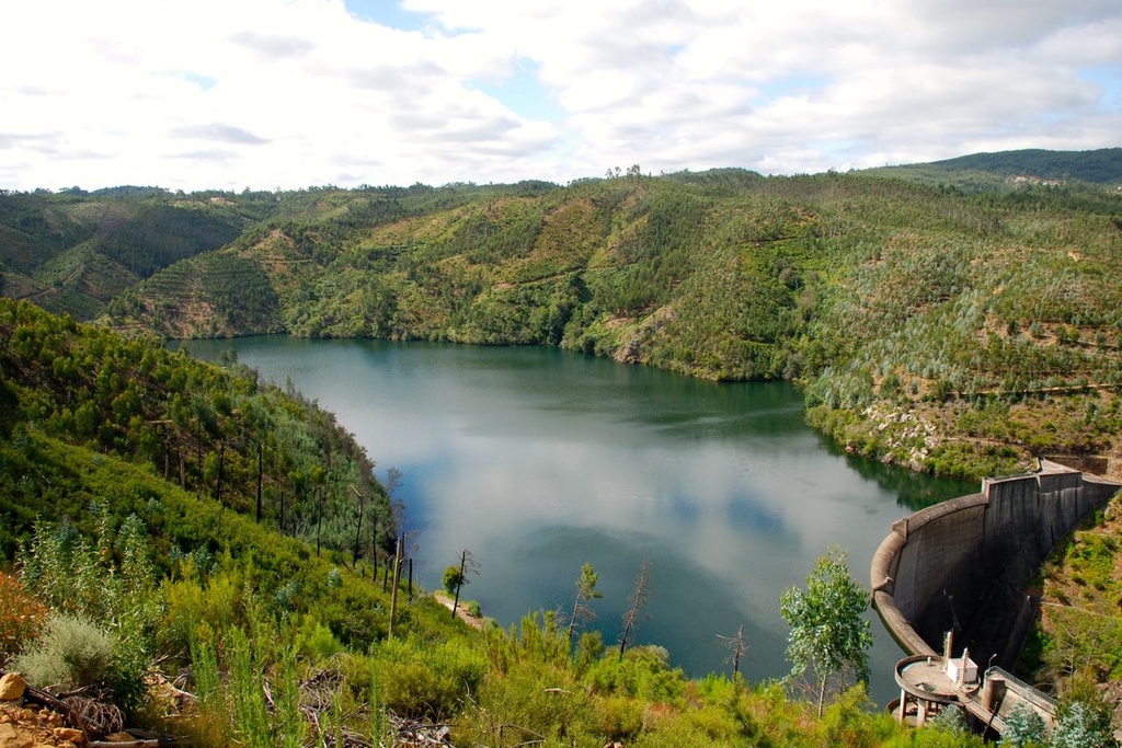
    The Ribeira de Pera rises between Trevim and Santo António da Neve, in the highest points of the Serra da Lousã. In Castanheira de Pera, on the Rocas River Beach, its waters form waves. Later it will flow around Penedo Granada, in front of Pedrógão Pequeno and join the waters of the Zêzere  in the reservoir of the Bouçã dam. The village is concentrated at the bottom of a valley, in pursuit of its connection with the water. Its river beach is very inviting!

  • history and stories

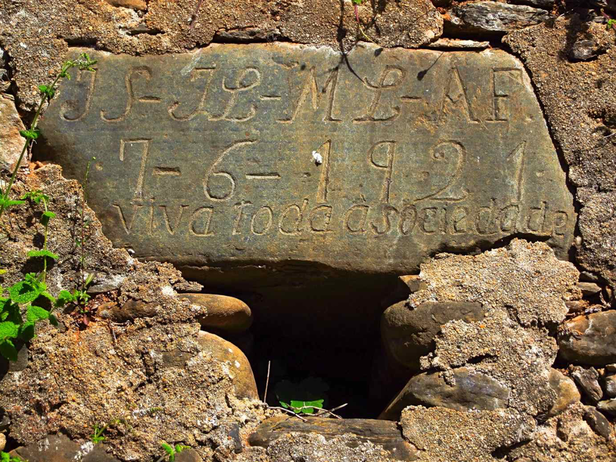
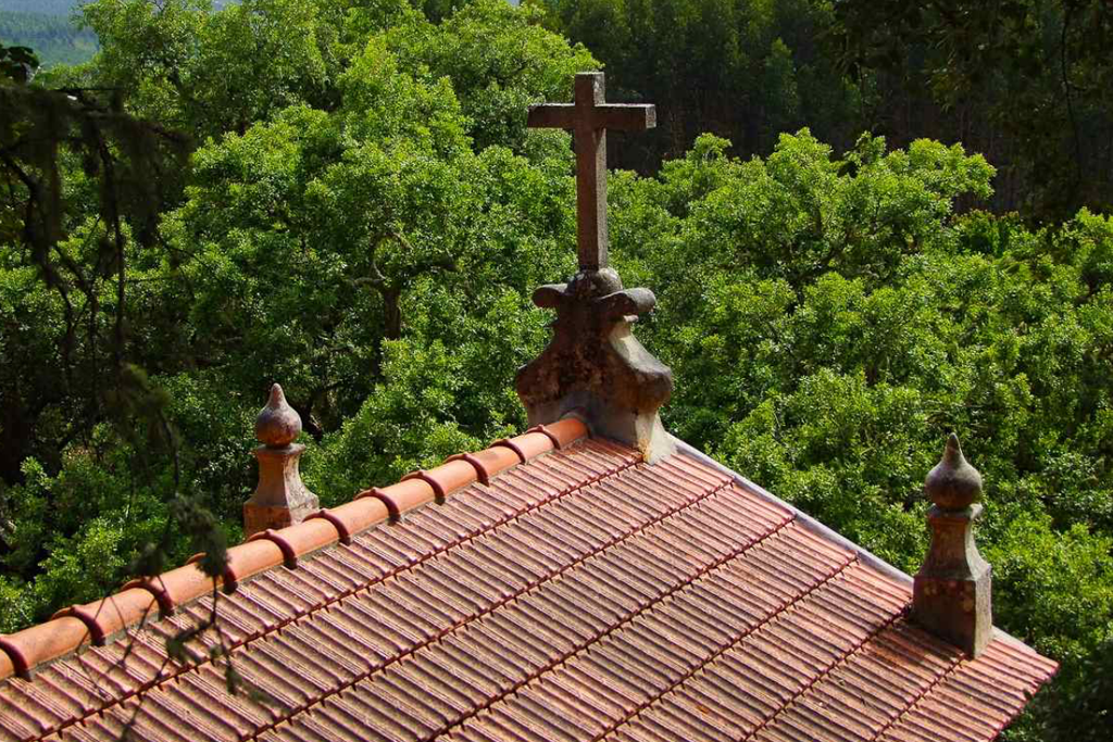
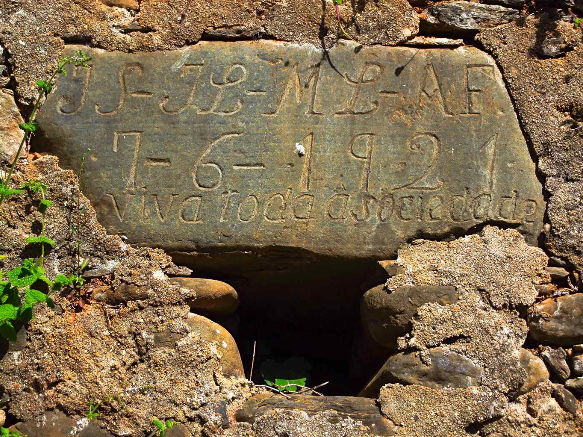
    Apart from the fact that various elements in the construction of the chapel point to the 15th-16th centuries and that an inscription carved on the stone of a window indicates the date of 1868, little else is known about the history of the village.  The name is probably derived from the existence of an ancient monastery, convent or even a very old hermitage, perhaps from the times when the territory began to be settled by the Order of Malta, but of which no trace or reference have ever been found.

    Milling was an important industry in the municipality of Pedrógão Grande, as confirmed by the presence of at least one watermill every 500 metres along the Ribeira de Pera. It is also known that the road linking with Pedrógão Pequeno was built in 1952 as was the primary school. Electricity arrived in 1976.

    Origin of the name
    It is probably derived from the existence of an ancient monastery, convent or even a very old hermitage, perhaps from the times when the territory began to be settled by the Order of Malta, but of which no trace or reference have ever been found.

    The Superintendent
    The coming of the Portuguese Republic in 1910 created the social conditions for all inhabitants to lay a claim to use of the land and water, even if this was in exchange for a yearly rent paid in produce from the land. This new context of access to the resources – soil and water – called for an agreement between everyone, establishing an irrigation system and its shared use. To this end, the villagers met at the beginning of each year to establish the agreement on sharing water for irrigation, to arrange for the cleaning and maintenance of the flume – those with more lands to irrigate had to contribute more – and elect the superintendent, who would monitor the entire irrigation system that year and ensure that each user was complying with the agreement.

  • patrimony

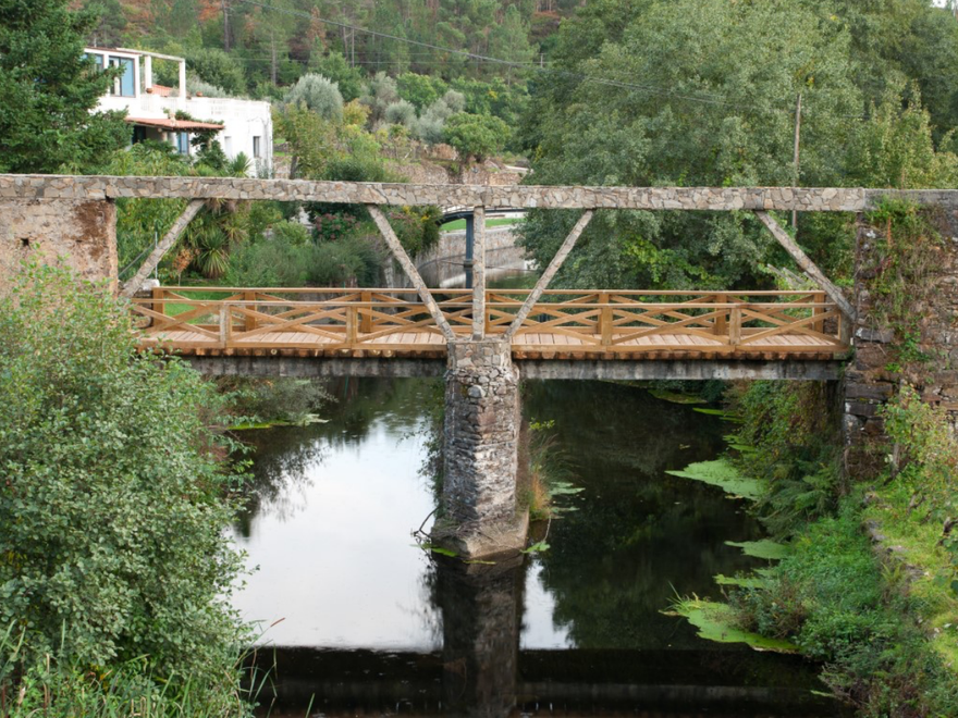
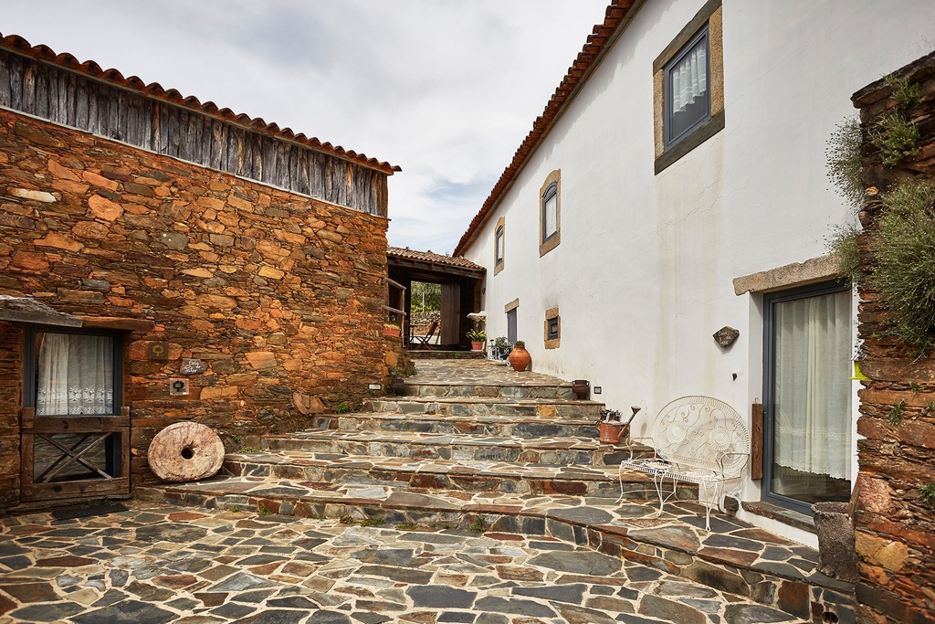
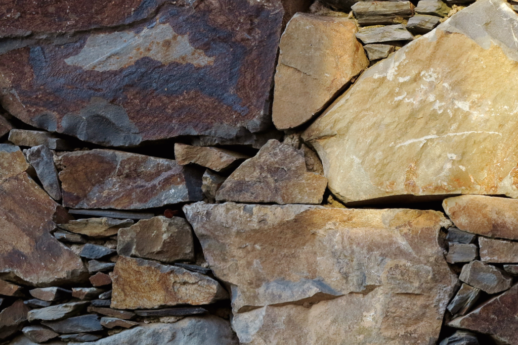
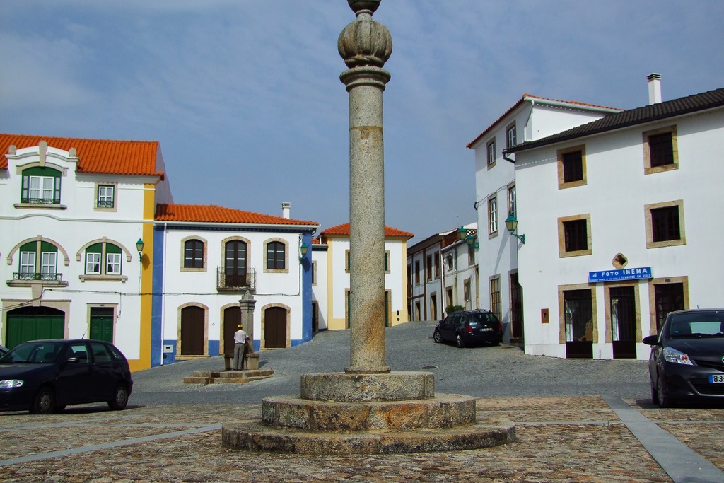
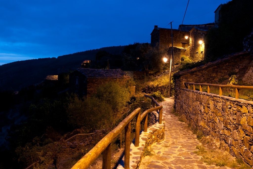
    A walk around Mosteiro makes it obvious that schist stones were the preferred building material for the villagers. In the old buildings you can see the stone embedded on clay mortar, infilled with smaller stones or even broken roof tiles. The strong ancestral ties that that villagers had with the water course of the Pera are also clearly visible, as they often included round stones from the river in buildings and walls.

    The village is enriched by the stream that flows through it and that led to the creation of watermills, oil presses and flumes that served as the basic infrastructures to support the lives of the villagers for centuries. The watermills represent the historic and cultural roots of the municipality of Pedrógão Grande. Of all the water courses in the municipality of Pedrógão Grande, the Ribeira de Pera was of special importance in establishing the textile factories, olive oil presses and watermills.

  • products
    • Horticultural produce
    • Chickens and eggs
    • Olives and olive oil
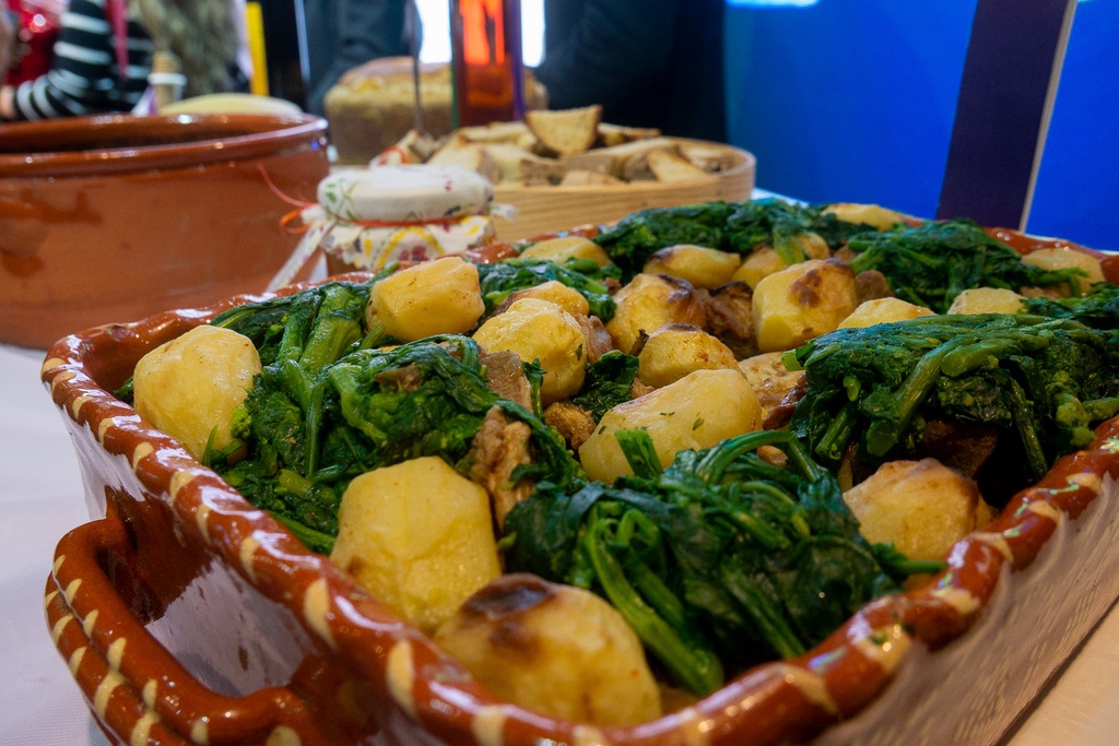
    • Filhós (deep-fried sugared pastries)
  • how to arrive

    Dista apenas 6 Km da sua sede de concelho, Pedrógão Grande. A aldeia de Mosteiro está inserida no extremo norte do distrito de Leiria (70Km), estando a uma distância de Coimbra de 52km. A principal via de comunicação é o itinerário complementar nº 8 (IC8), do qual dista 0,8 Km, itinerário esse que liga uma cidade do interior do país, Castelo Branco (82Km), a uma cidade do litoral, Figueira da Foz (70Km). Está a 42 Km da cidade de Pombal, onde se encontra a ligação mais próxima com a principal autoestrada do país a A1 (Lisboa - Porto). Encontra-se a 60 Km do nó de ligação com a autoestrada A23 (Torres-Novas - Guarda). Situa-se a cerca de 200Km da capital Lisboa e 180km da cidade do Porto.

  • Residents' name
    mosteirenses
  • Patron saint
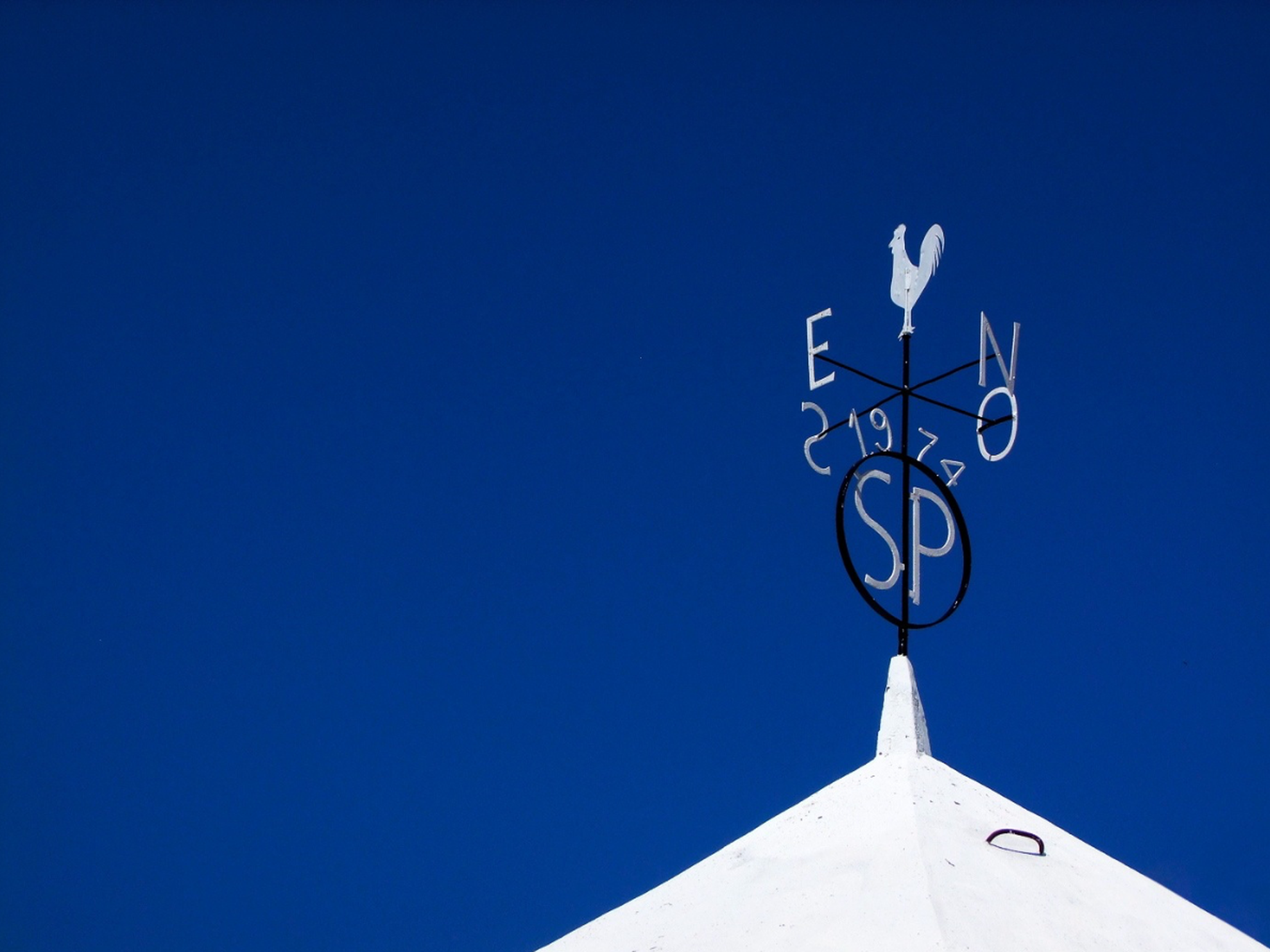
    são pedro
  • Ex-libris
    river beach

explore

restaurants
Fugas Restaurant
Fugas Restaurant

next events

event
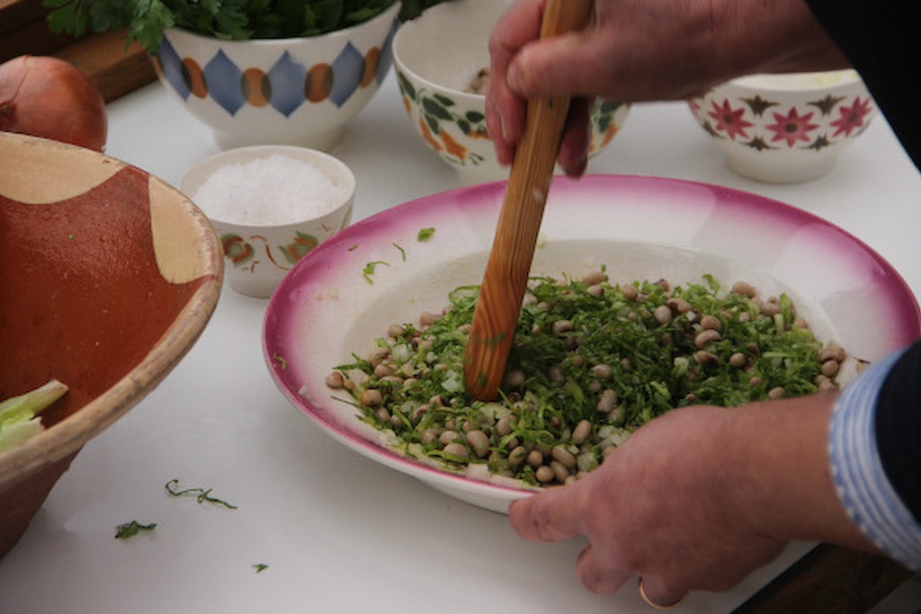
Festival Gastronómico da Salada de Almeirão
10 jan 2025 - 25 jan 2025, 12:00
event
Moonlight Talasnal
Moonlight Talasnal
10 jan 2025 - 05 dec 2025, 20:30
Talasnal
event
Workshop Construção de Fornos Rudimentares
24 jan 2025 - 26 jan 2025, 10:00
Cerdeira