zêzere
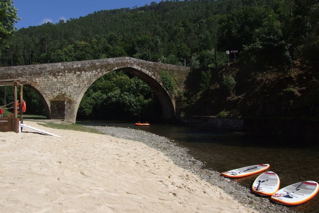
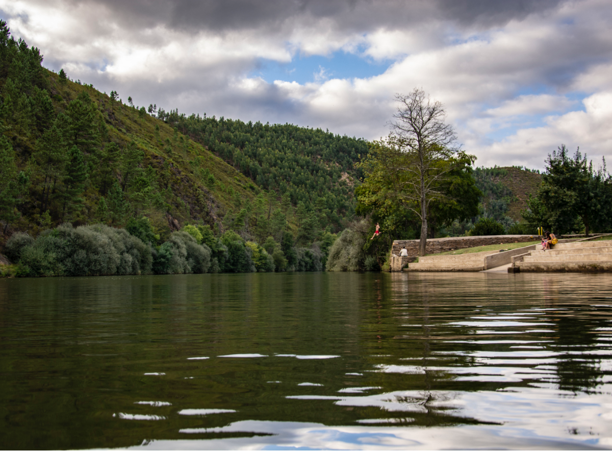
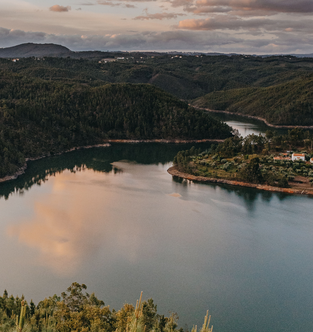
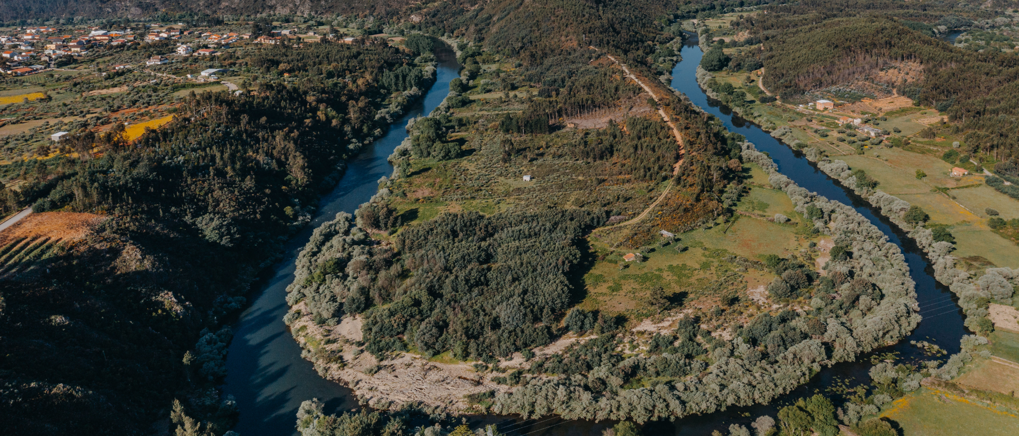
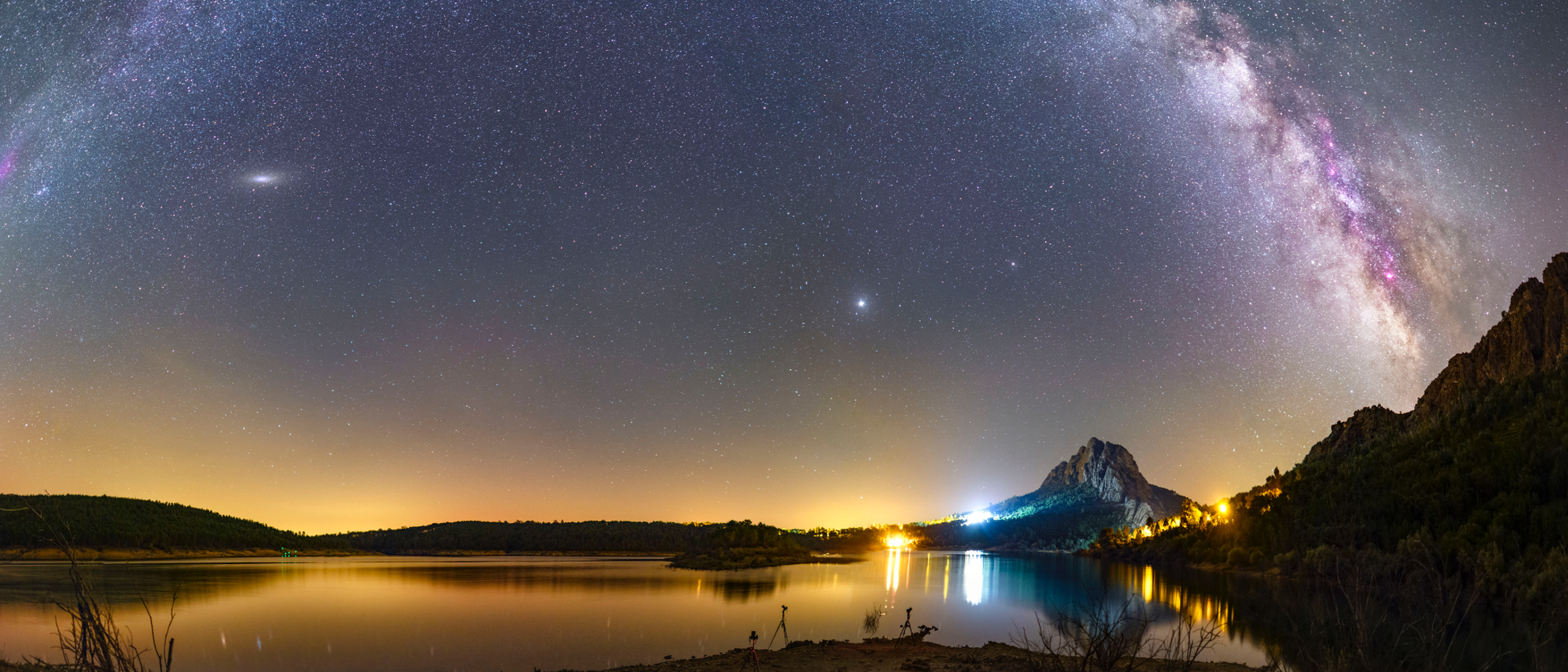
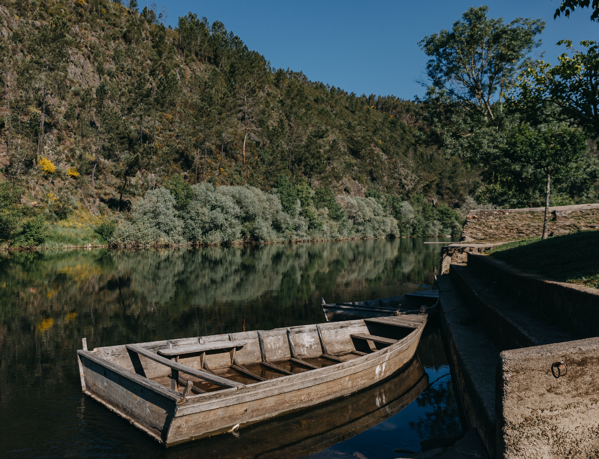
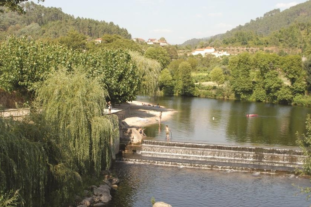
The Zêzere is the common denominator of the identity of the six Aldeias do Xisto Villages that are contained within its basin. The River Zêzere is one of the wildest and most pristine rivers in the country. The landscapes it creates are unparalleled. The Zêzere Grande Route follows the river from source to estuary.
248 km long
6 aldeias do xisto
5 local authorities
1 grand route
open map
plan visit bookinxisto
Region
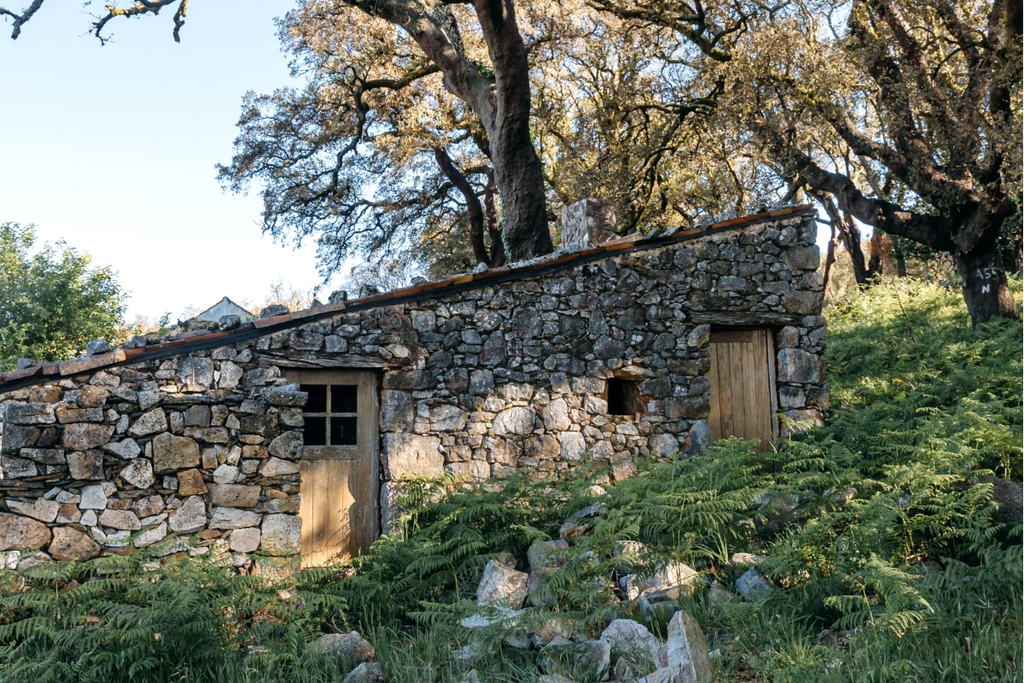
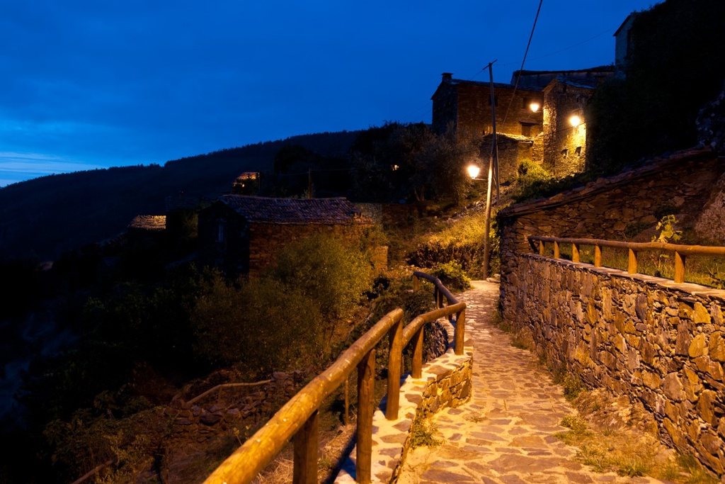
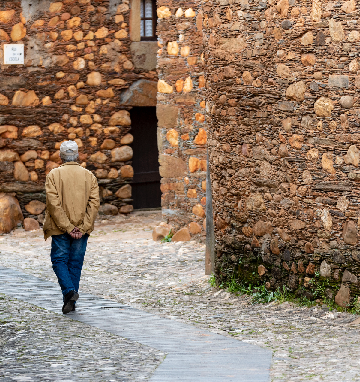
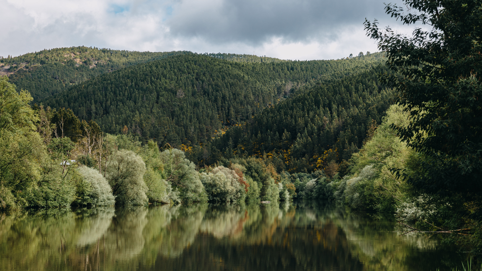
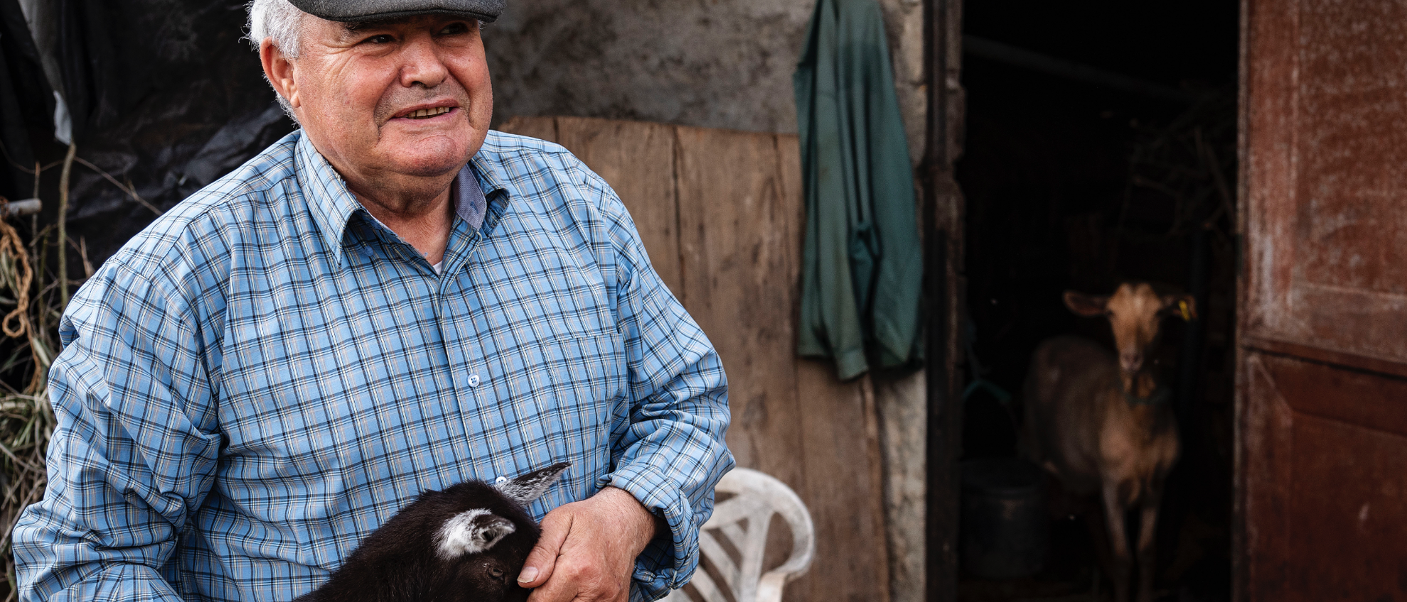
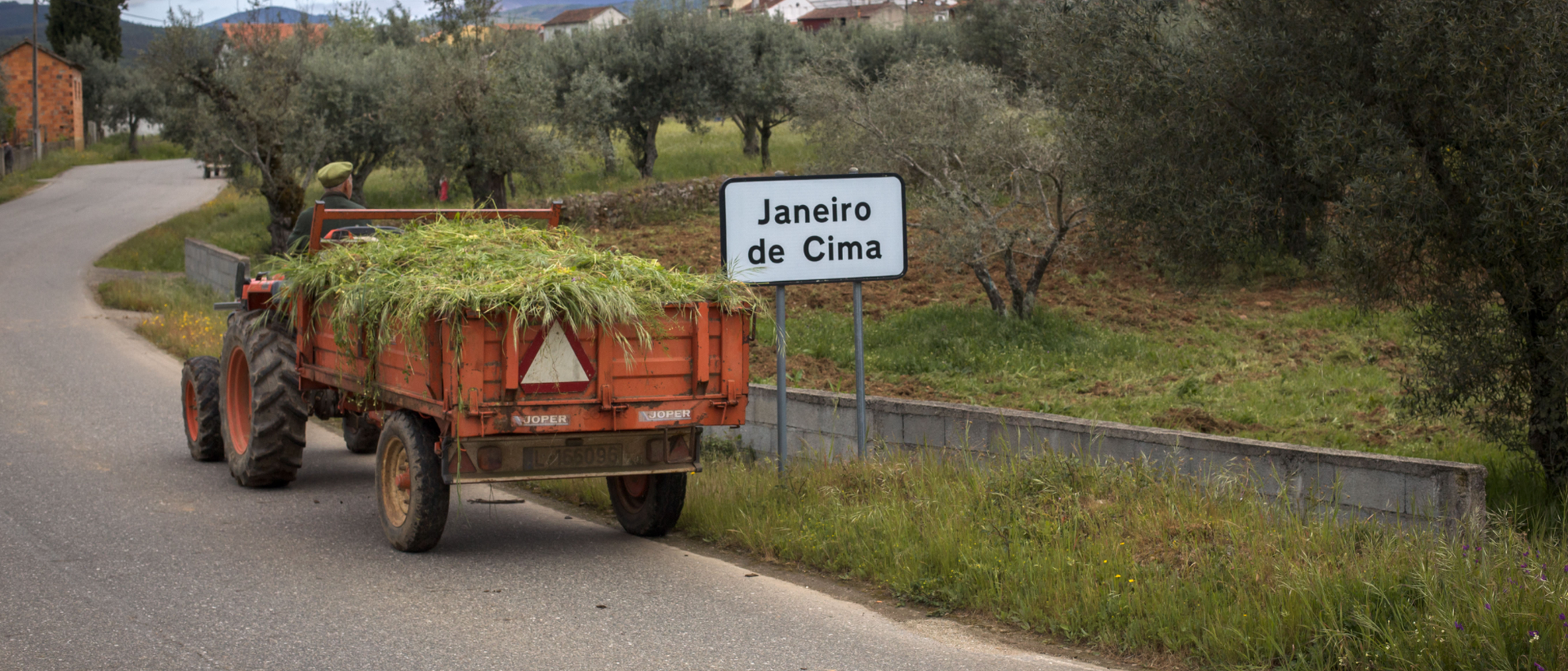
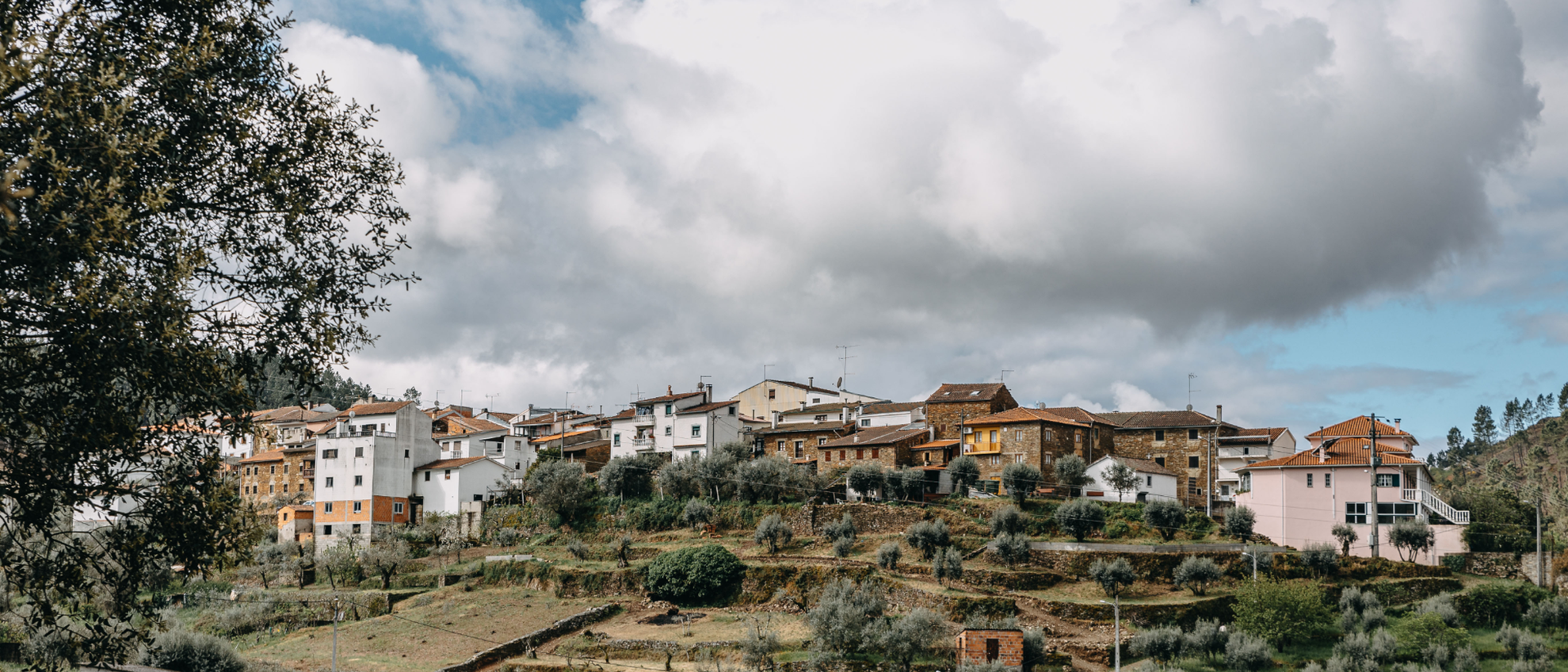
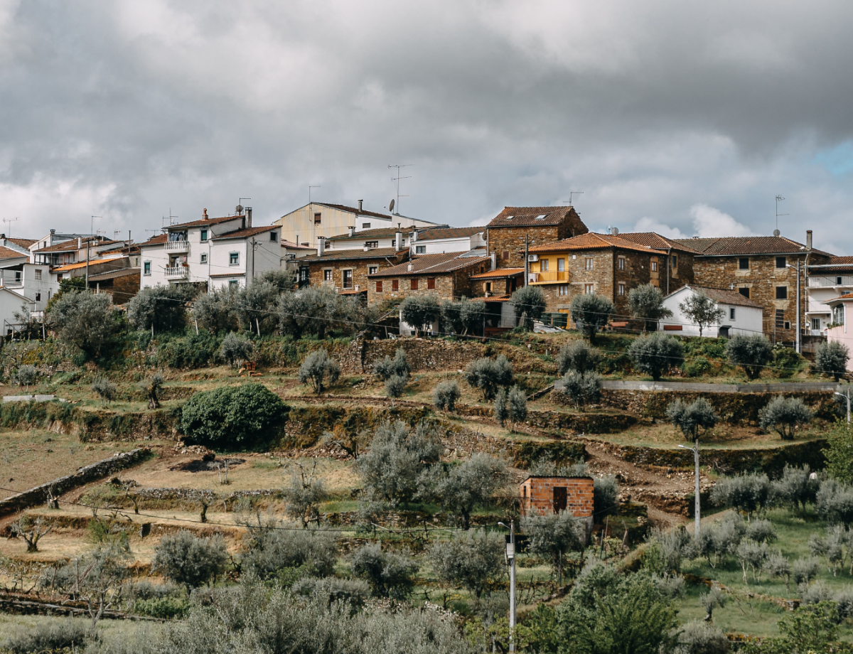
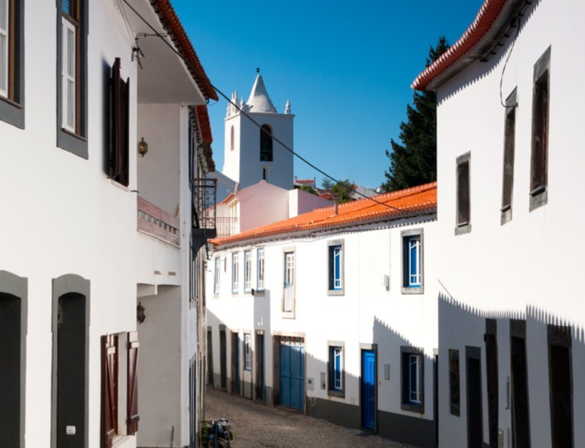
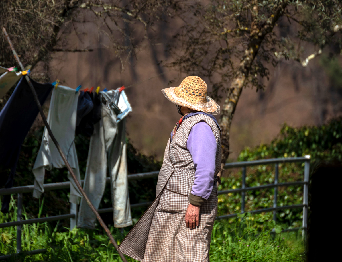
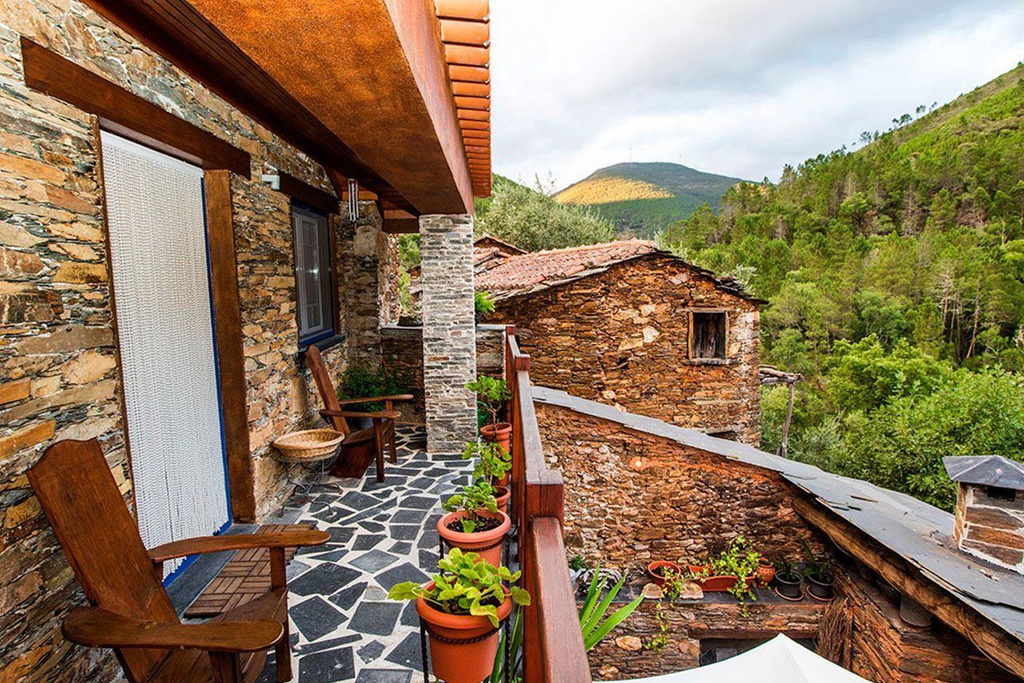
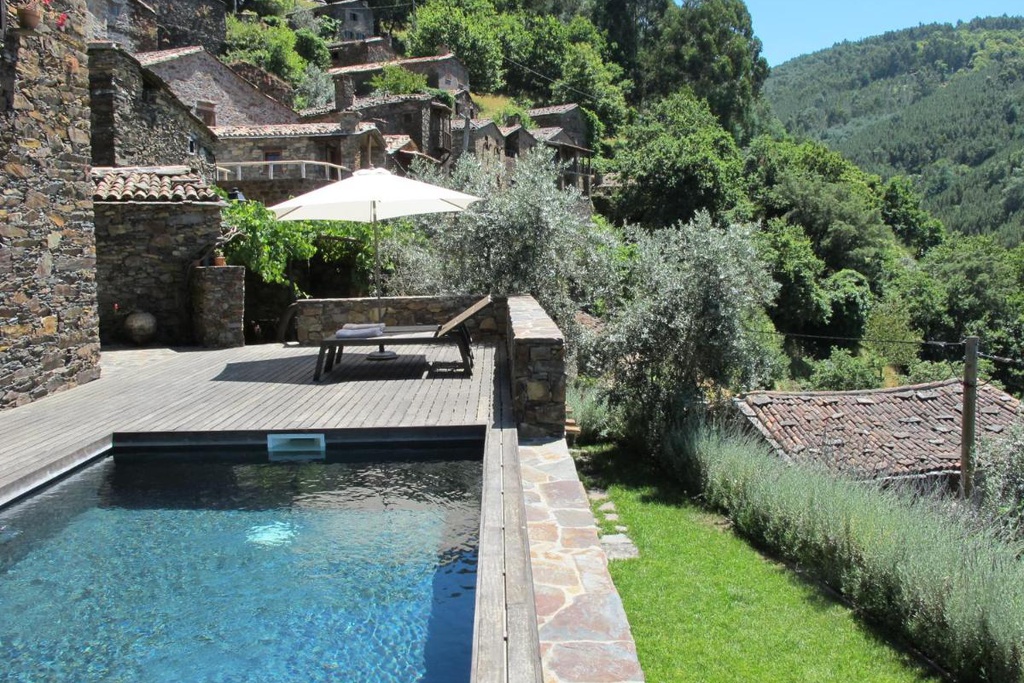
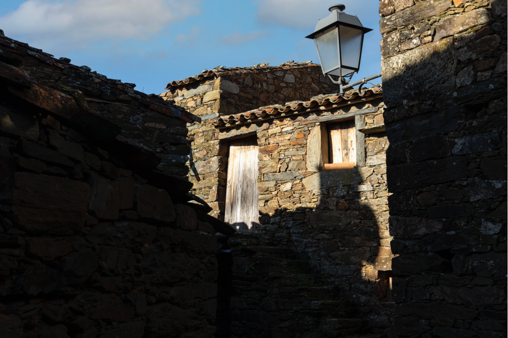
The Rio Zêzere Valley is one of the most environmentally-diverse natural areas amongst the Aldeias do Xisto Villages and the country. Nature in an almost wild state, where the richness of the flora and fauna is remarkable, combining in perfect harmony with human occupation that, throughout the ages, has adapted to the passage of the river, living from it and with it. With the vital support provided by this imposing river, the villages in its vicinity are larger and more populated. Traversing this part of the territory is, above all, a life experience, complete and enriching, which allows you to get to know the way of life of the riverside communities and interact with them. It is home to six Aldeias do Xisto: Álvaro, Barroca, Janeiro de Baixo, Janeiro de Cima, Mosteiro and Pedrógão Pequeno.
A well-kept secret
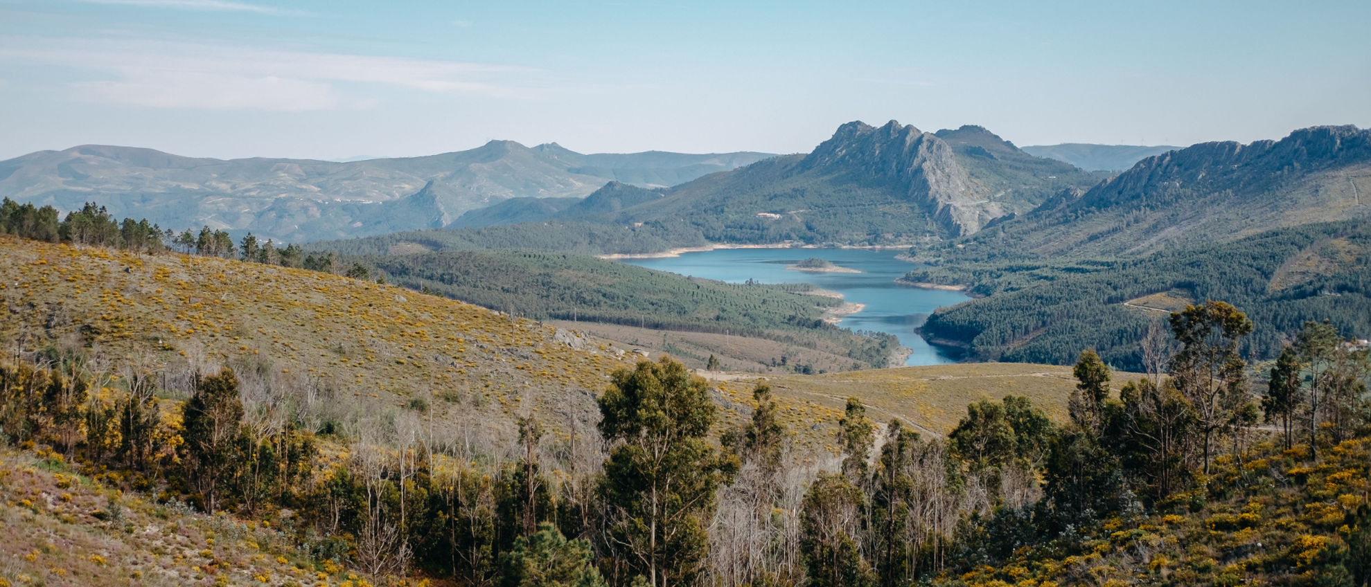
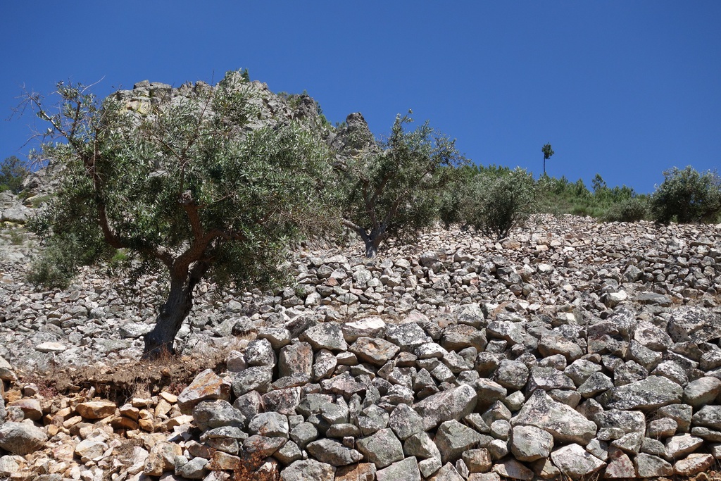
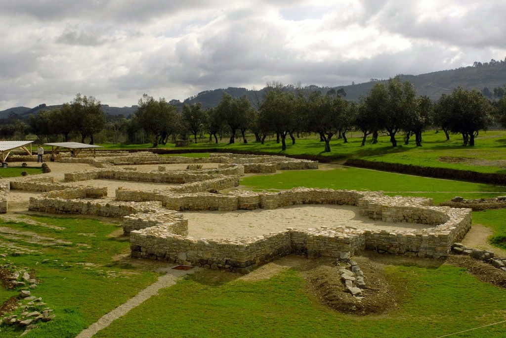
The twisting and ancient landscape of Serra da Estrela, the natural, cultural and architectural heritage of Cova da Beira, the agricultural lands and mining landscape of Cabeço do Pião, the famous meanders of the Zêzere, the fish dishes from the river and the landscapes created by the Cabril, Bouçã and Castelo de Bode dams are some of the most remarkable elements of this territory. Nature and human culture blend in surprising shades along the River Zêzere, revealing one of Portugal’s best kept secrets. Whether it's wild, winding or meandering, or even calm in the waters of the reservoirs, the landscapes it carves are unparalleled.
Geography
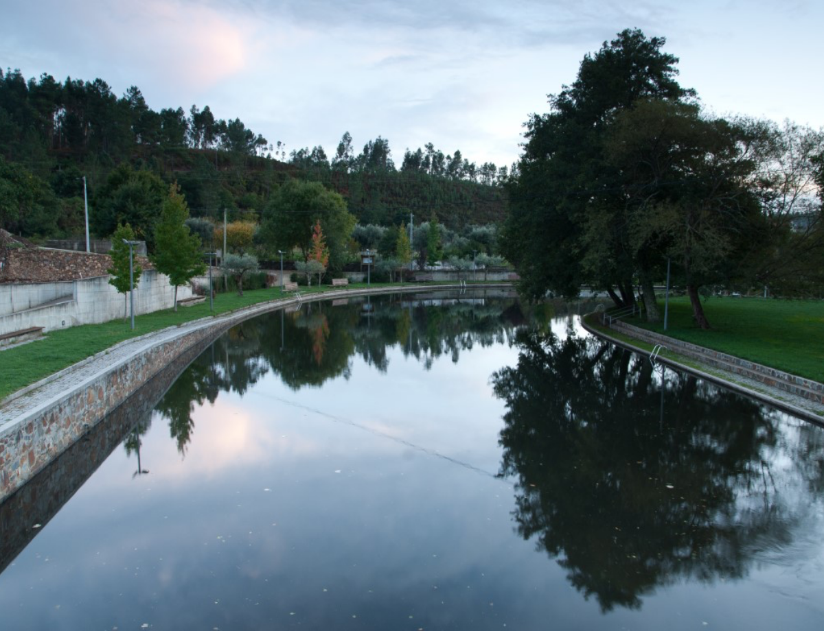
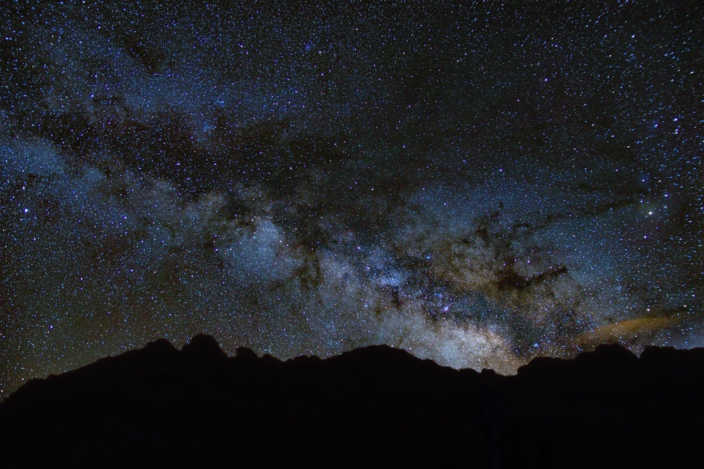
The Zêzere River rises in the Serra da Estrela, at about 1900 m altitude, near Cântaro Magro, where the largest glacial valley in Europe begins (13 km). After going down the Serra da Estrela in an erratic course, the Zêzere, now more serene, passes through Belmonte and Covilhã. From here, and almost until it flows into the Tagus at Constância after a journey of about 248 Km, it is fed from both banks by the sea of mountains that frame the Aldeias do Xisto. After the Mondego, it is the second largest river in Portugal. If it didn’t run through such a deep and winding valley, it would be possible to see that all the reservoirs of the three dams (Cabril, Bouça and Castelo de Bode) form an immense artificial lake, spanning more than 5,800 hectares.
GRZ- Grande Rota do Zêzere trail
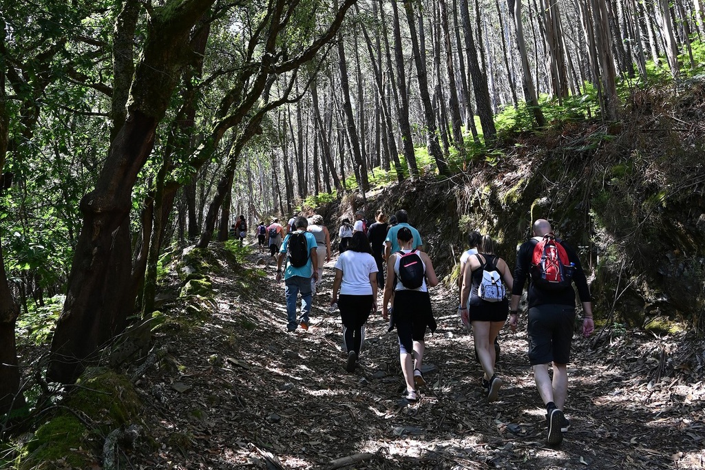
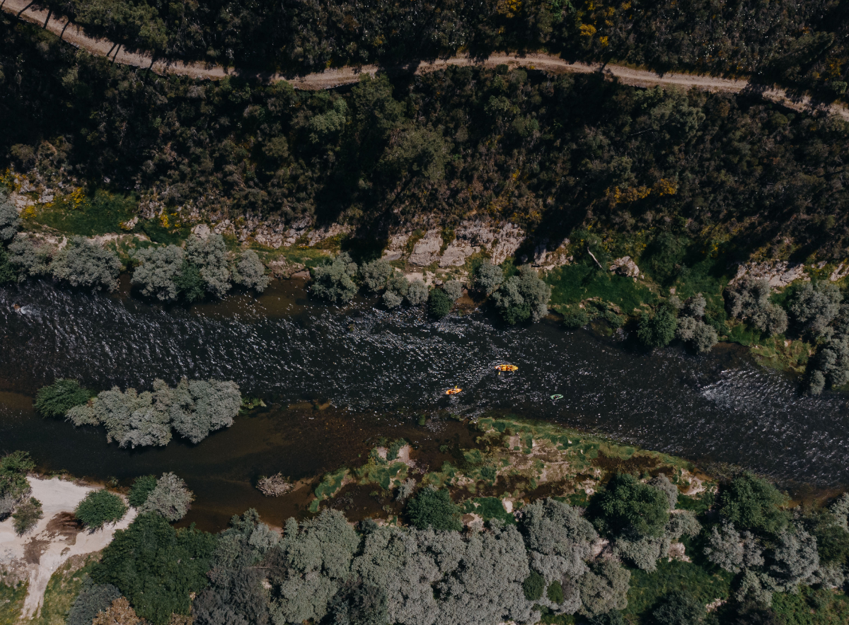
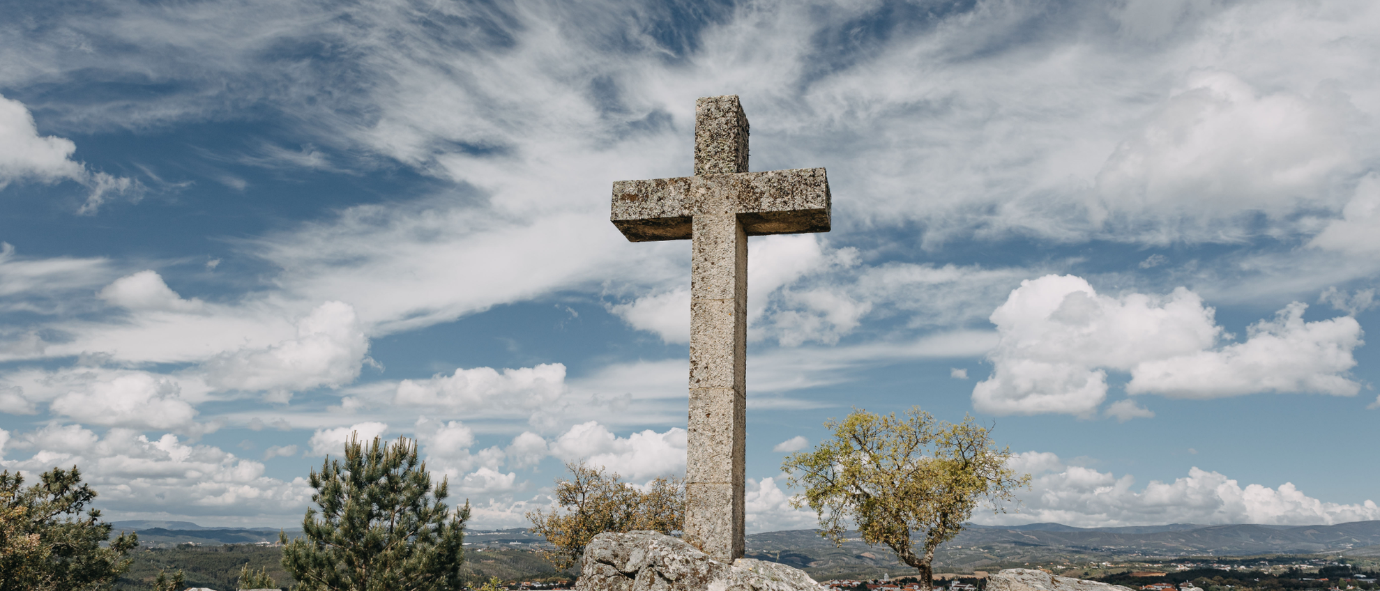
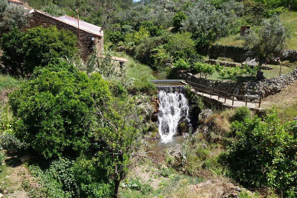
The Zêzere River is one of the environmentally diverse natural areas in the country and very unique in terms of human occupation. The creation of the GRZ- Grande Rota do Zêzere trail (GR 33) was designed to allow users to enjoy closer contact with this natural and cultural heritage. The 370 km long GRZ passes through 13 counties, bringing together important national brands: Serra da Estrela, Aldeias do Xisto, Castelo de Bode and the River Tejo. The route is designed to be intermodal, and can be carried out on foot, by bicycle or canoe. It can take place in a continuous and linked way, in sections or even in multimodal circuits, using more than one modality. There are complementary routes, either circular Pequenas Rotas (Small Routes) such as the Schist Paths, around points where the GRZ passes, or off-shoots from the main route that take users to nearby geographical areas and places of interest, such as the Aldeias do Xisto, the river beaches, the reservoirs and dams, among others.








![Mining Territory [GRZ - MTB sector 3]](/media/filer_public/55/7b/557b2251-626f-458d-97c4-76f96a6e4f7c/aldeias-xisto-aldeias-xisto-terra_mineira_c381rea_de_descanso_do_barco__cabec3a7o_do_pic3a3o_gr33_-_grz_etapa__mam9mil.jpg.1024x683_q95_crop_upscale.jpg)
![Irrigating Cova da Beira [GRZ - MTB Sector 2]](/media/filer_public/70/2b/702bc022-591a-4249-a792-769c31f667a2/aldeias-xisto-aldeias-xisto-irrigando_a_cova_da_beira_peso__barco_gr33_-_grz_etapa_6_ssc6w0b.jpg.1024x683_q95_crop_upscale.jpg)
