VILLAGES

Casal Novo

lousã mountain
Lousã MountainCasal Novo
Casal Novo
casal novo, lousã
Hidden in dense woodland, it tumbles down the hillside. Make your way down to the threshing floor and enjoy the view over Lousã and its castle.

Passing along the unpaved road, the presence of Casal Novo almost escapes us. The village lies in a fold on the steeply sloping, north-facing hillside and the woodland surrounding the village hides its outline.

The village layout amounts to little more than an axis created by the road that crosses the village in an up-down direction, and which links it to the Shrine of Our Lady of Mercy. Two or three perpendicular lanes, and as many lateral accesses to public spaces, break the continuum of buildings which piggyback on one another on either side.

From the village threshing floor can be seen Lousã and its castleread in xistopediaClassified as a National Monument, Lousã Castle is….

  • territory

    Situated on the western slope of the Serra da Lousã, on one of the banks of the Ribeira de São João that rises towards the Sanctuary of Our Lady of Mercy. The 10 km that separate the village from Lousã are mostly on dirt roads, passable by light vehicles with careful driving.

    The village is set in the deeply incised river basin of the Ribeira de São João. Passing along the unpaved road, the presence of Casal Novo almost escapes us. The village lies in a fold on the steeply sloping, north-facing hillside. The woodland surrounding the village hides its outline.

  • nature

    Casal Novo is included in the Lousã Mountain Site of Community Importance of the Natura 2000 Network. In the forest surrounding the village lurk elusive red deer and roe deer.

    In the space of little more than 2 km the Ribeira das Hortas stream captures water at about 900 metres above sea level and discharges it at 200 metres into the Ribeira de São João. It follows a vertiginous course through a deep valley. Its waters have almost no time to contemplate the village as they rush past. But it carries its sense of loss to the Ceira and the Mondego.

  • history and stories

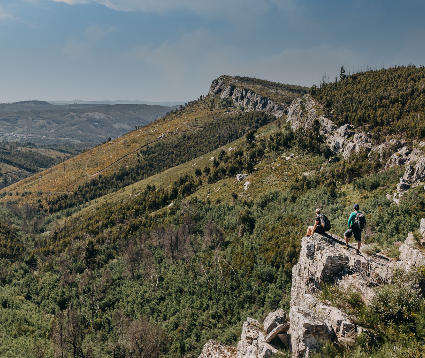
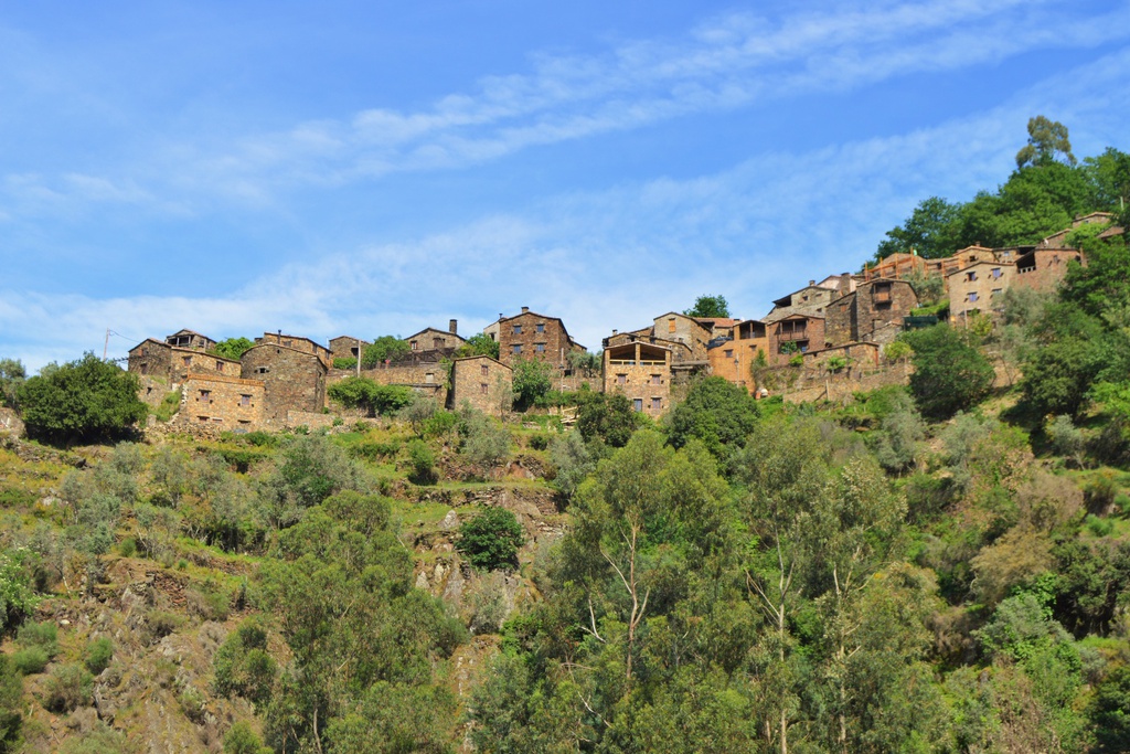
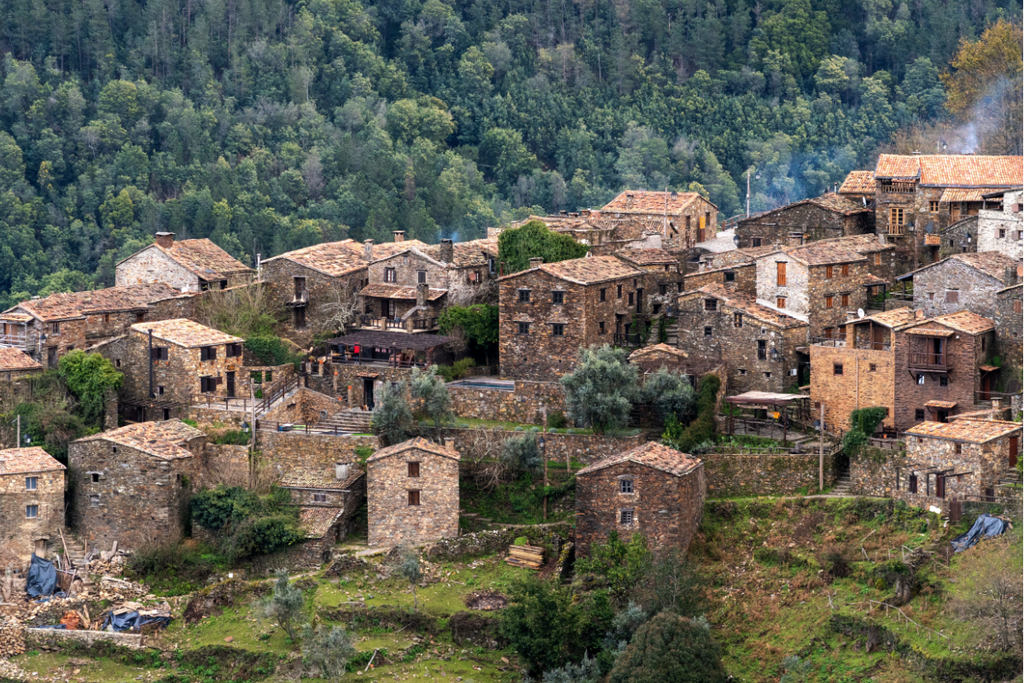
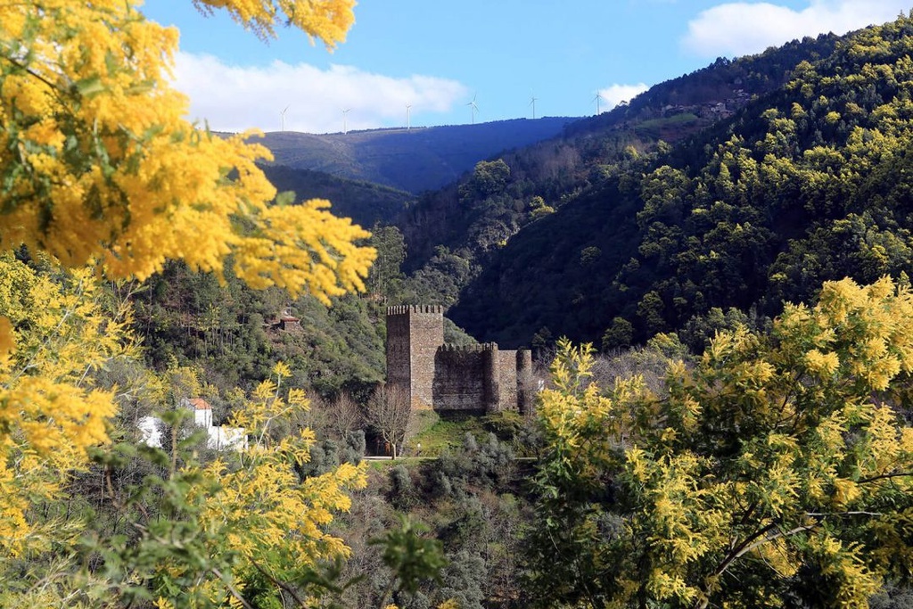
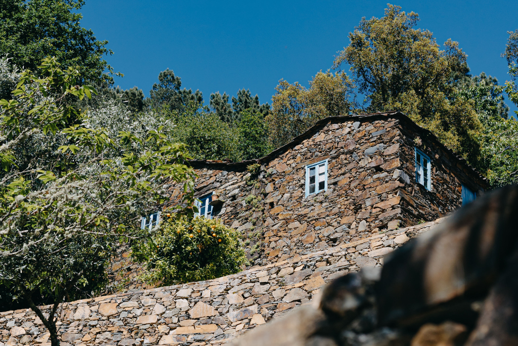
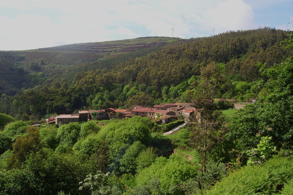
    In general, the history of this village is similar to the histories of the other four Schist Villages in Lousã municipality. Permanent settlement of the villages of the Lousã Mountain occurred in the second half of the 17th century or beginning of the 18th. Until then, occupation was only seasonal, in the spring and summer, with pastoralism practices.

    The “Register of the population of the Kingdom (1527)” mentions none of these villages in its entry for Lousã.  The oldest documents that point to their occupation are a fine imposed by Lousã Council in 1679 and the register of tenant properties ordered by King Pedro II in 1687. At the beginning of the 19th century only Candal and Cerdeira escaped pillaging by the Napoleonic army.
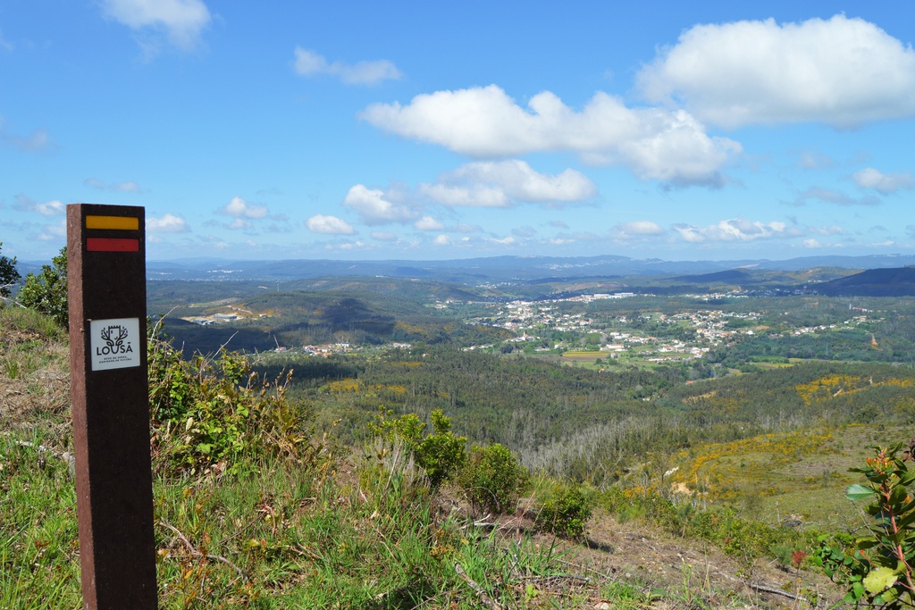
    In 1885 the population of the seven villages (the five Schist Villages, plus Catarredor and Vaqueirinho) corresponded to 8.7% of the total population of the parish of Lousã (5340 inhabitants).

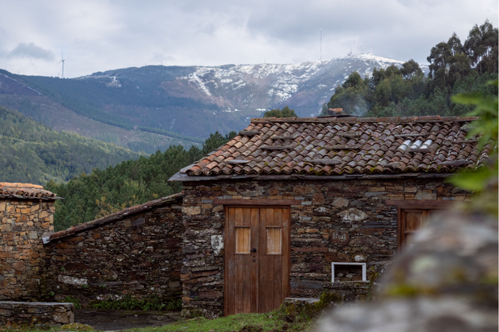
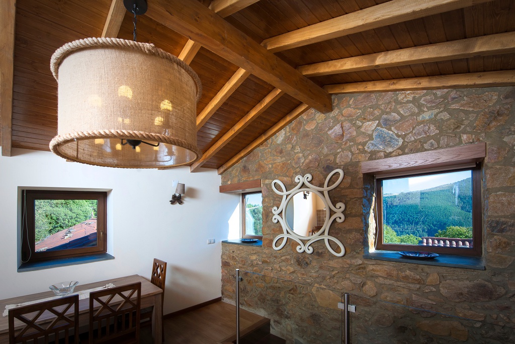
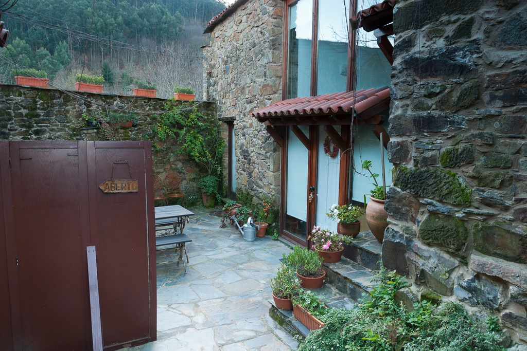
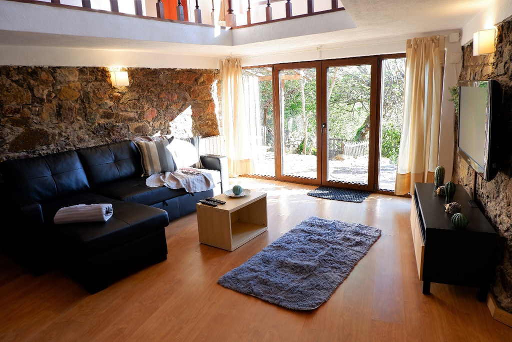
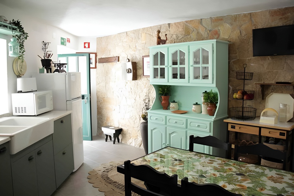
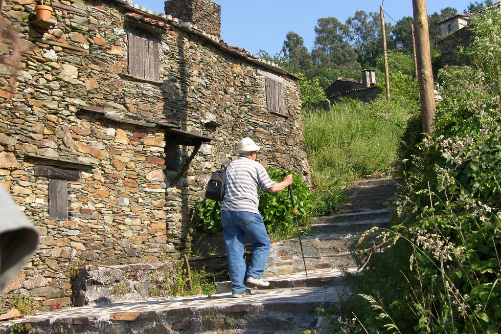
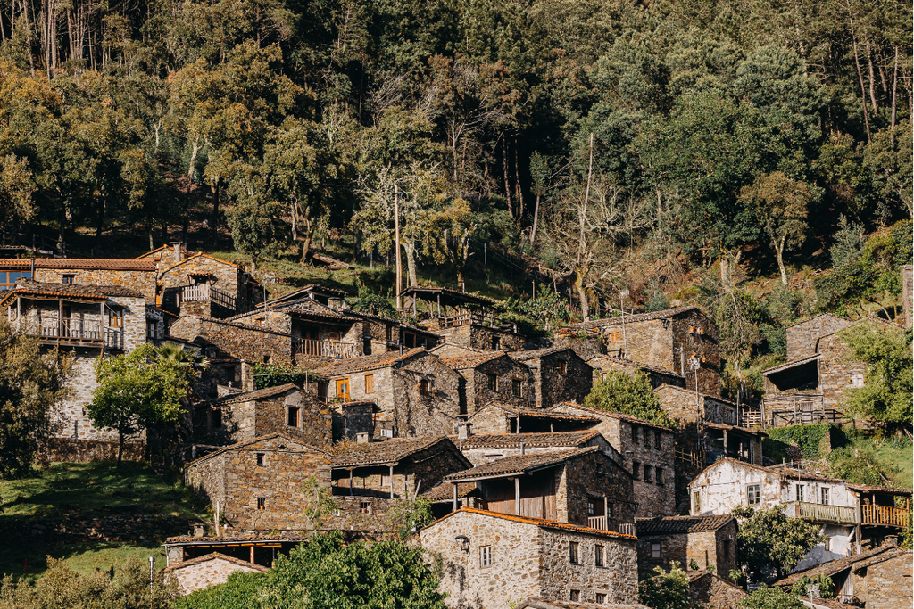
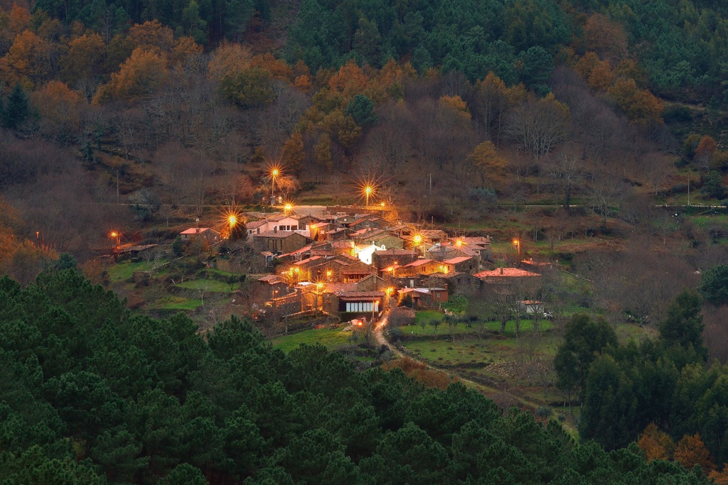
    The largest resident population in this village was recorded in 1885: 65 inhabitants. Since 1981, the village has not recorded a single permanent inhabitant. Since then, almost all the houses have become second homes.

    Origin of the name
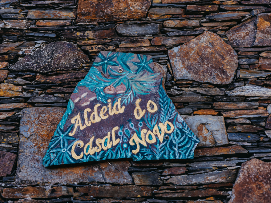
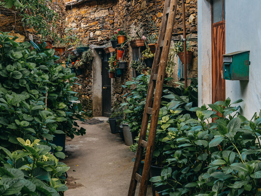
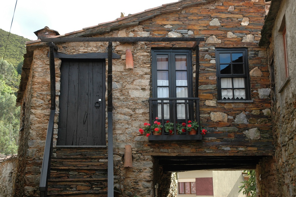
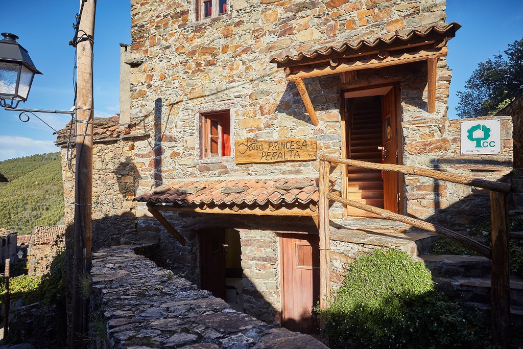
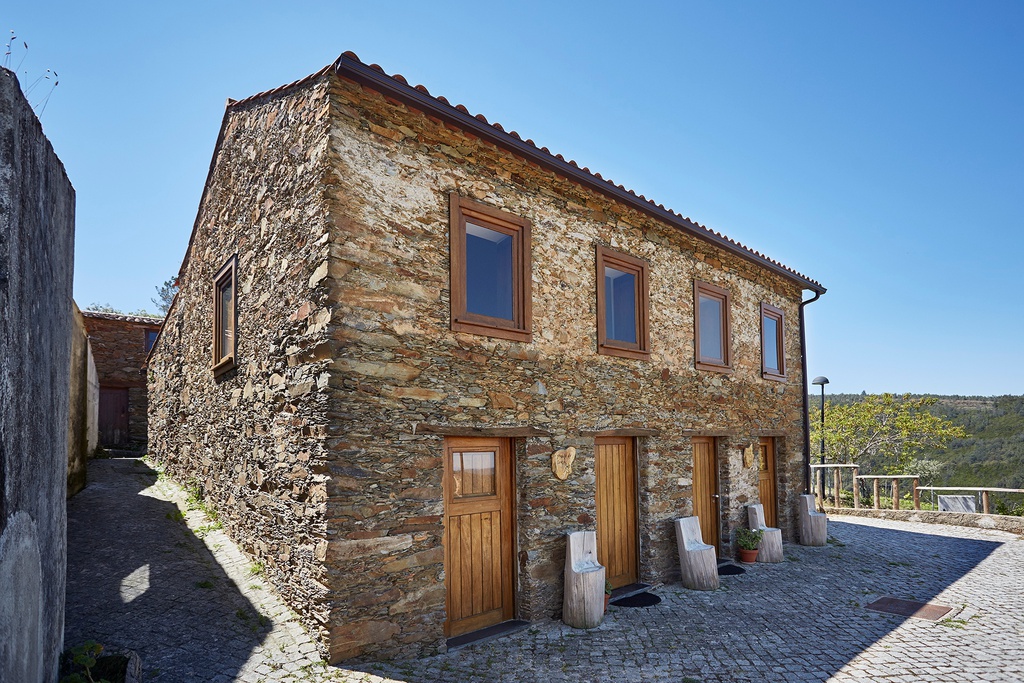
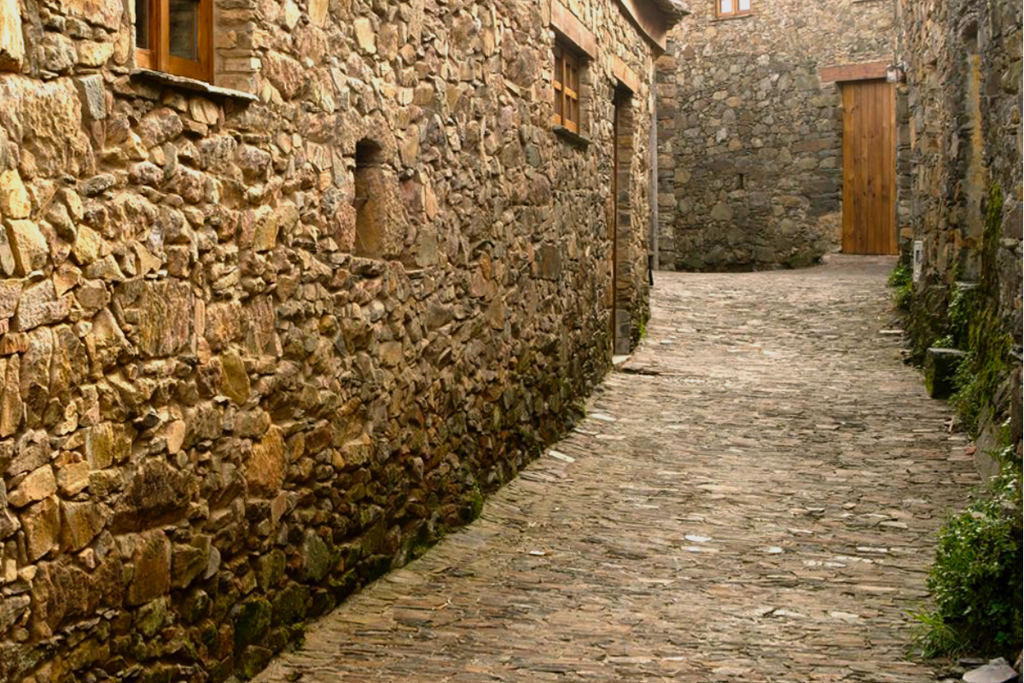
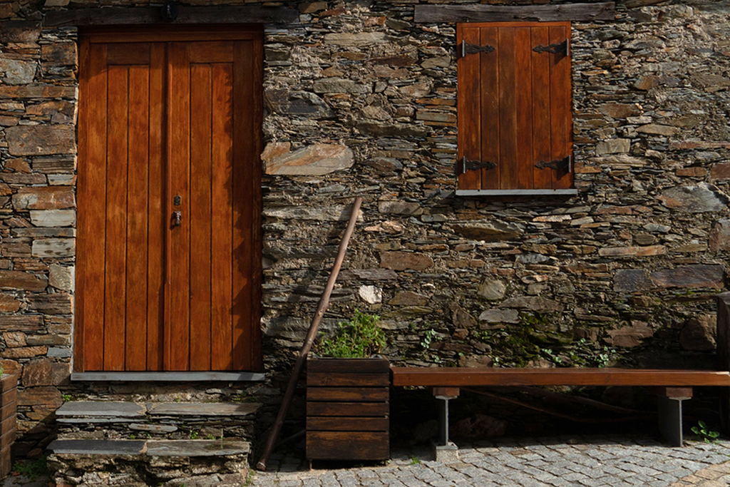
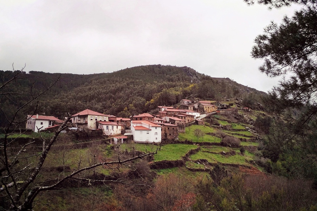
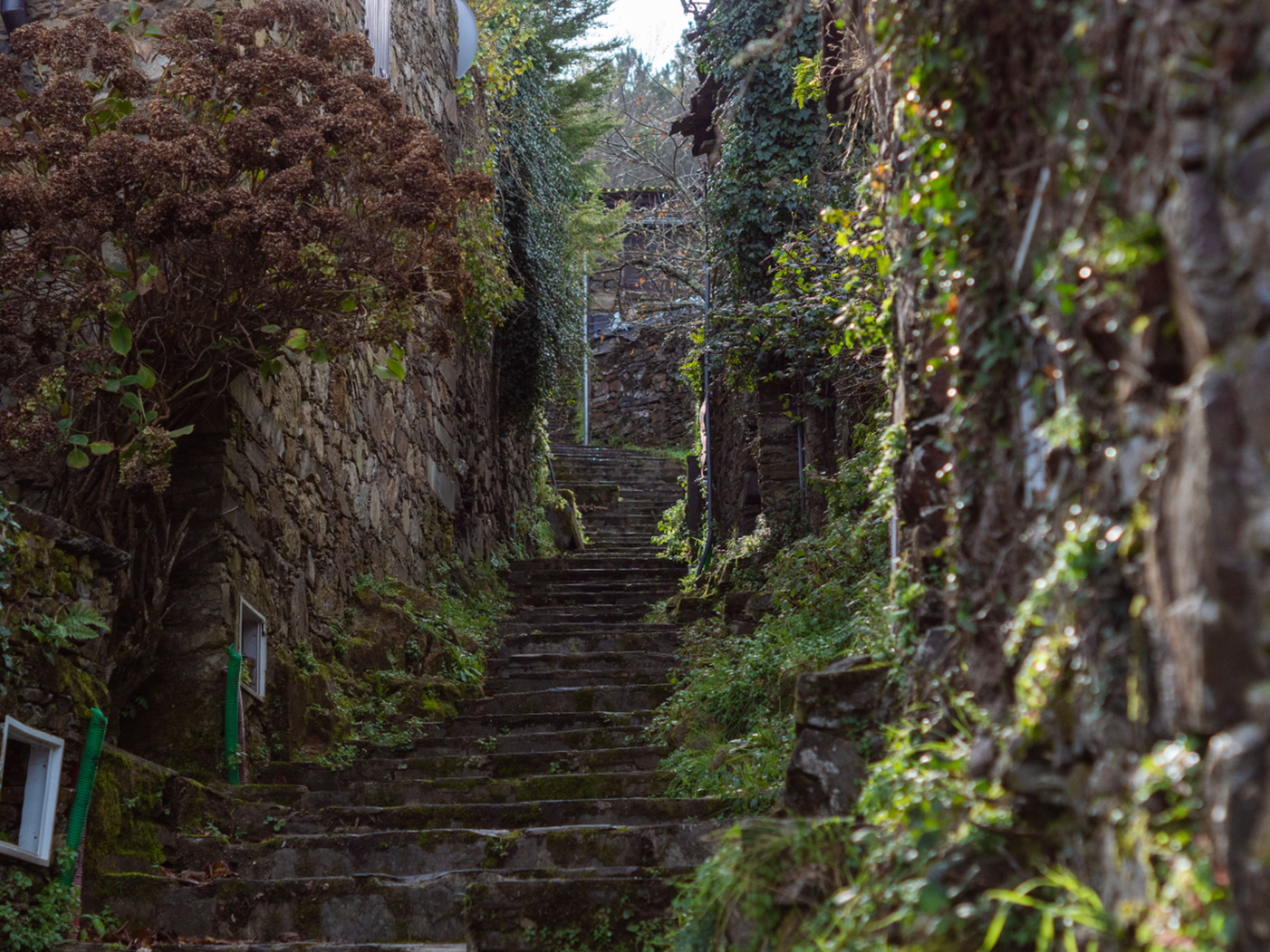
    Casal is an old Portuguese word which in the Middle Ages was used to describe a group of two or three houses in a rural setting. The second part, Novo (New), indicates that this is a settlement of more recent foundation, compared to others that are close by (Chiqueiro and Talasnal).

    When development arrives late
    The end of traditional human occupation of this village was a tragic irony.
    “On the day when the last inhabitant took to the road with bags ready packed, he saw the trucks that had arrived to lay the road and connect the electricity, objectives for which he had fought unremittingly for dozens of years.”
    in “Serras de Portugal” (1994)

  • patrimony

    The village layout amounts to little more than an axis created by the road that crosses the village in an up-down direction, and which links it to the Shrine of Our Lady of Mercy. Two or three perpendicular lanes, and as many lateral accesses to public spaces break the continuum of buildings which piggyback on one another on either side. The predominant building material is very dark, rough finished schist. The overwhelming majority of the facades of buildings are unrendered.

    Of the traditional public structures, there remain only the fountain, its tank and the threshing floor, which is currently used as a viewpoint, taking advantage of the panoramic view over the plain of Lousã. The horizon stretches from west to north, from Senhor da Serra to the Serra de Montemuro.

  • festivities
    • July - Meeting of mountain people (Santo António da Neve)
    • 2nd Saturday in September - Feast of Our Lady of Guidance at Chiqueiro
  • how to arrive

    De Norte e de Sul
    Na A1 sair para Coimbra. Tome a N17 (Estrada da Beira) e 14 km após a ponte sobre o Rio Mondego saia para a N236 no sentido da Lousã. Após 9 km chega à Lousã. Aí deverá tomar o caminho florestal de terra batida, a partir de Cacilhas em direcção às Aldeias do Xisto. Siga depois as indicações para a aldeia.

    De Espanha
    Na A23 sair na saída 18 na direcção Pombal/Sertã tomando o IC8. Após 64 km sair na direcção de Castanheira de Pera pela N236-1. Após 10 km, em Castanheira de Pera, seguir pela N236, subindo a Serra da Lousã até encontrar, à esquerda, indicação das Aldeias do Xisto através de um caminho florestal em terra batida.

  • Patron saint
    nossa senhora da guia
  • Ex-libris
    threshing floor/viewpoint

Contacts

explore

restaurants
Museu da Chanfana
Museu da Chanfana
Miranda do Corvo

next events

event
XIII Festival Gastronómico da Chanfana
14 feb 2025 - 23 feb 2025, 12:30
Lousã
event
Woodfiring & Shino Glazes
19 feb 2025 - 28 feb 2025, 10:00
Cerdeira
event
Aldeias do Xisto Geotour 2025
21 feb 2025 - 23 feb 2025, 09:00
Fundão