serra da lousã
The Serra da Lousã uniquely combines the cultural and human aspects of the Aldeias do Xisto. Here we find almost half of the villages in the network. Its landscape offers countless possibilities for enjoyment.
1204 m altitude
12 aldeias do xisto
6 local authorities
open map
plan visit bookinxisto
Region
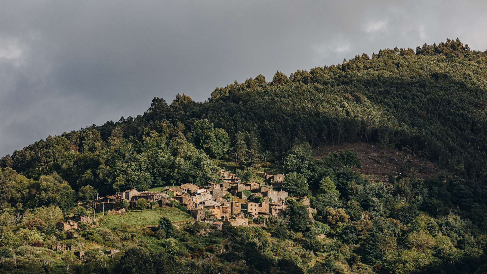
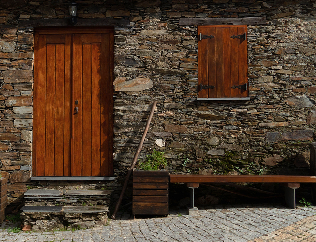
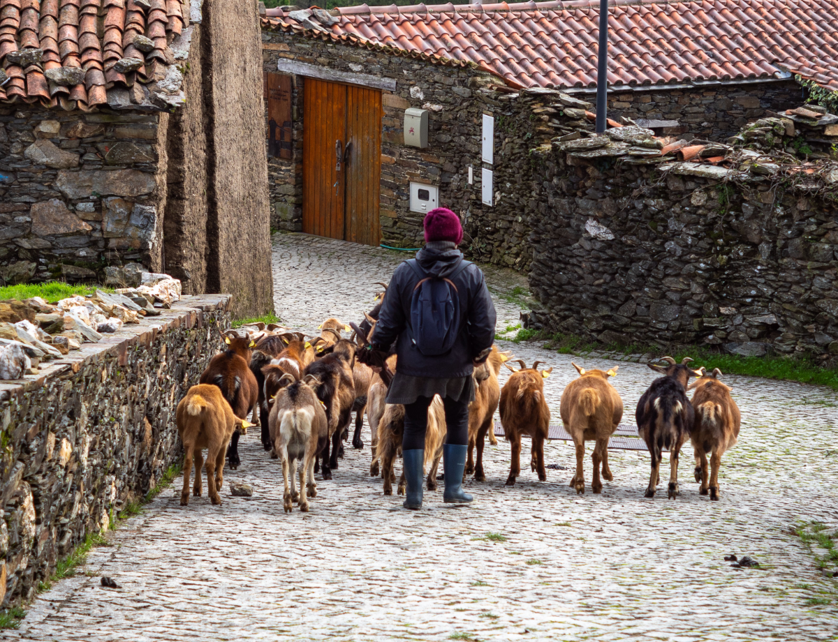
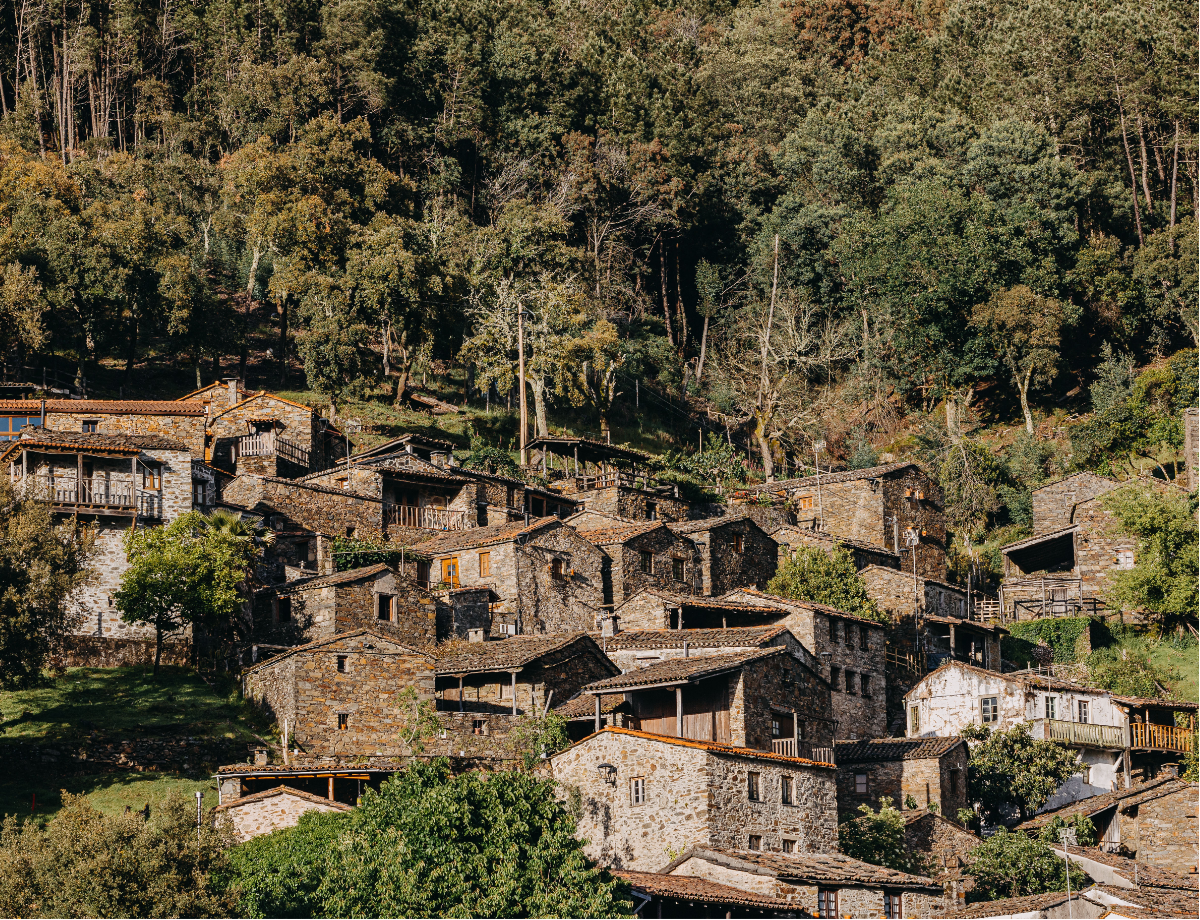
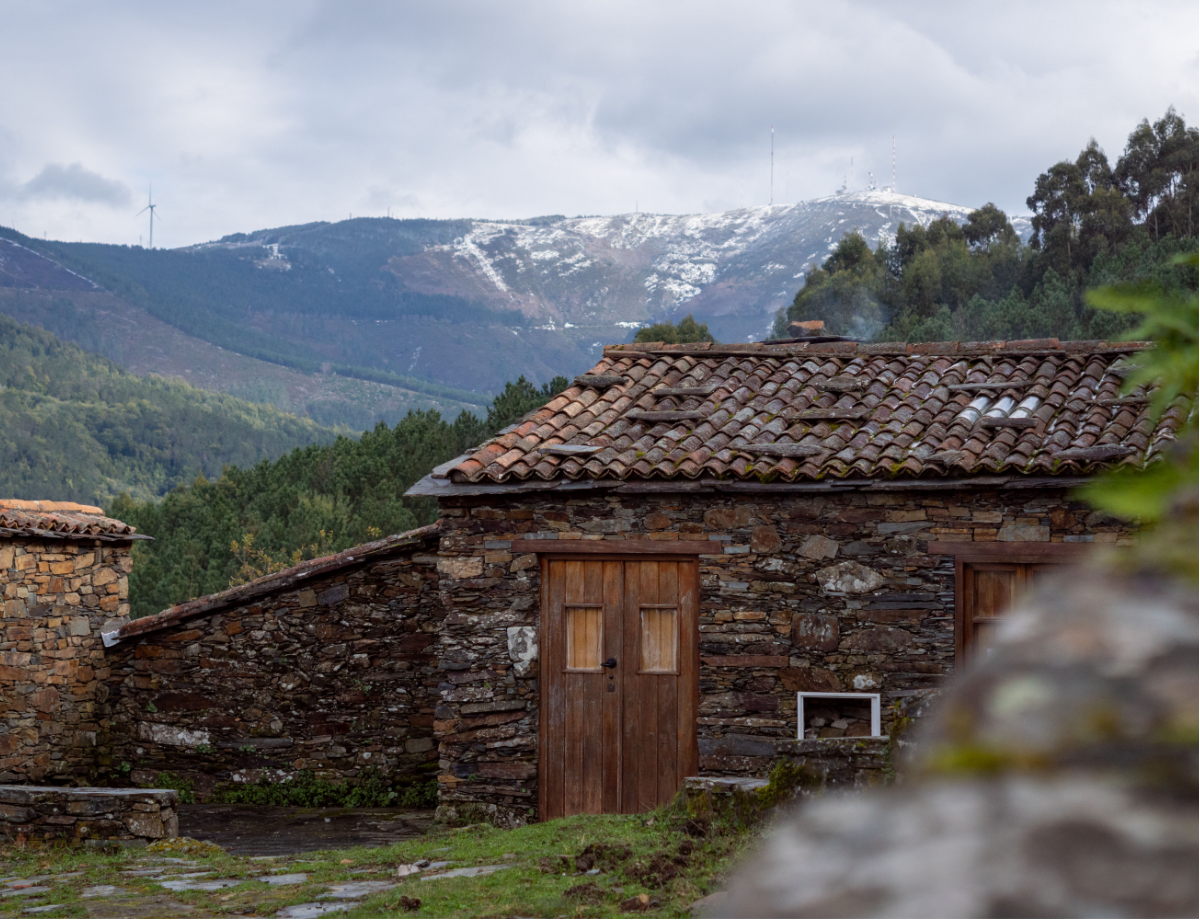
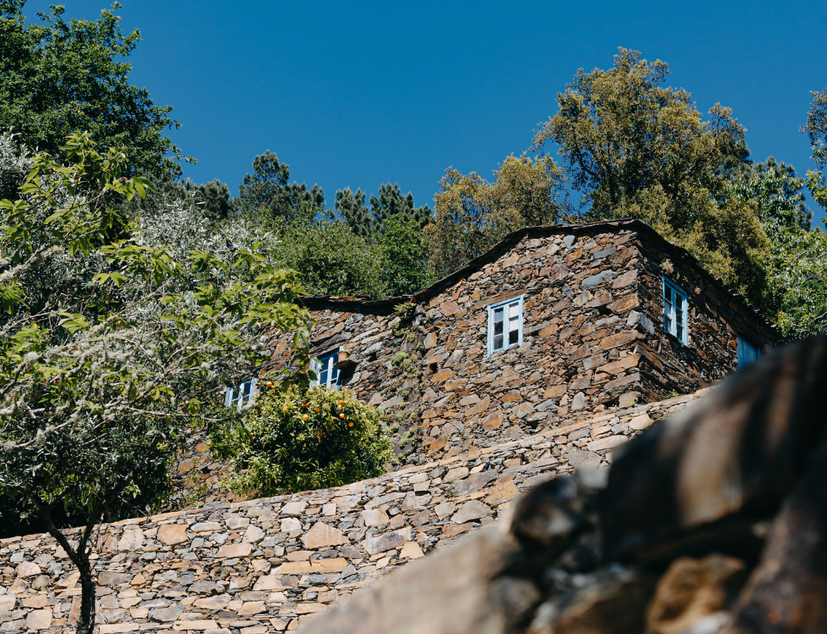
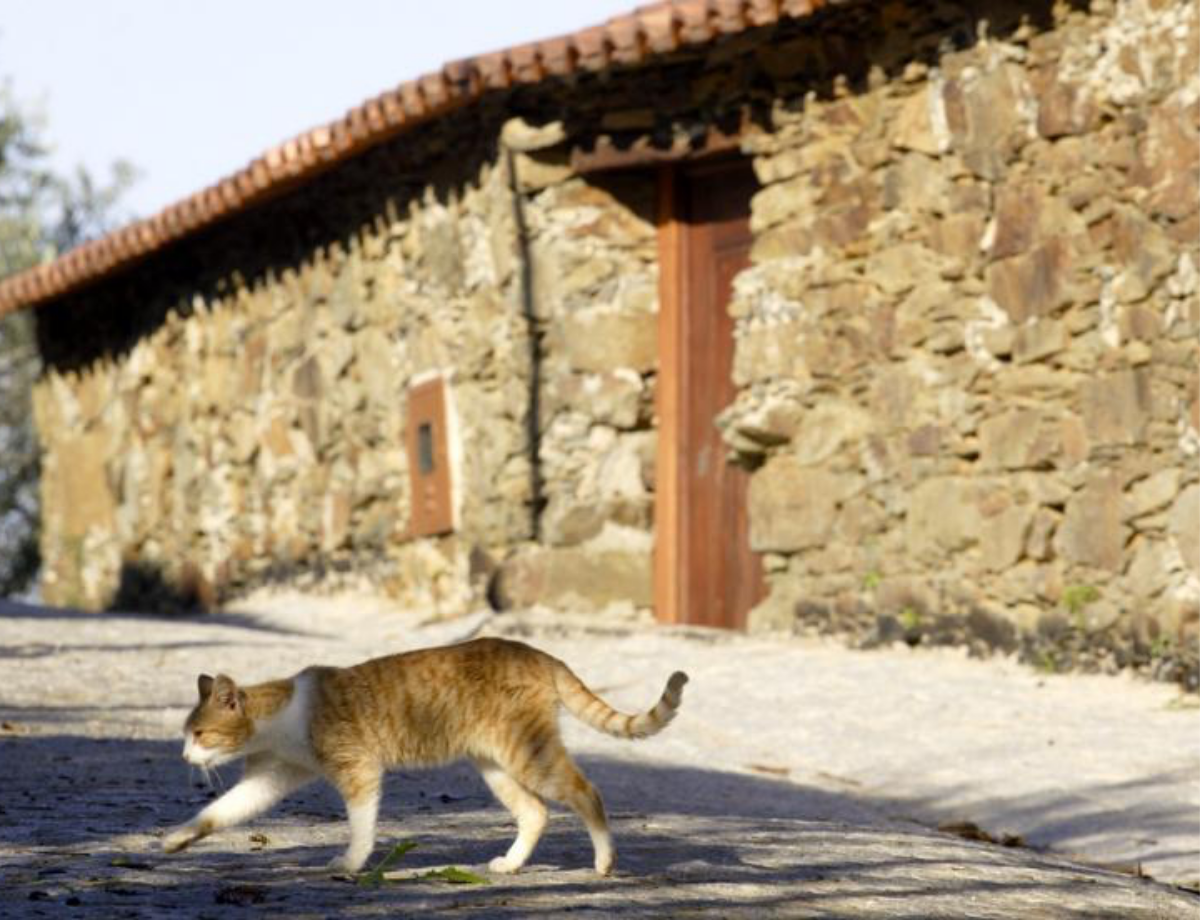
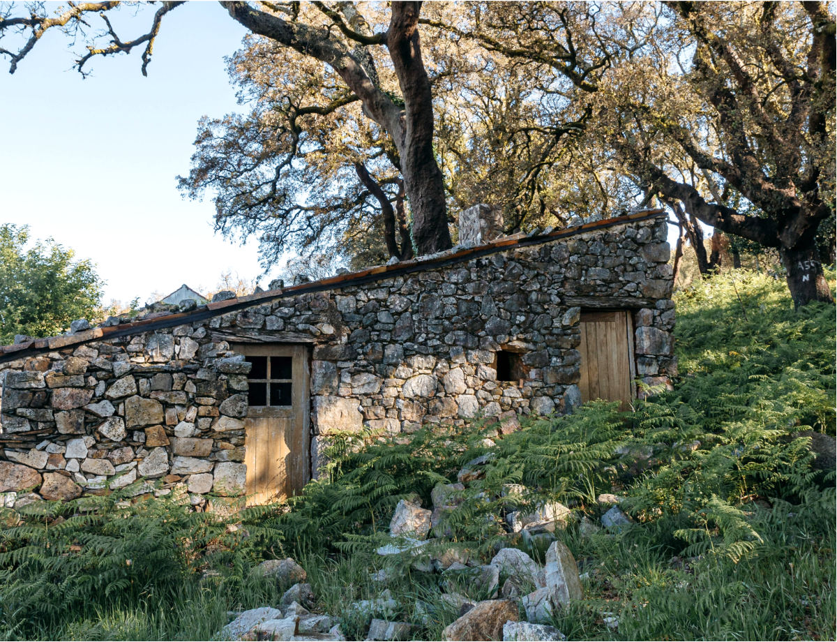
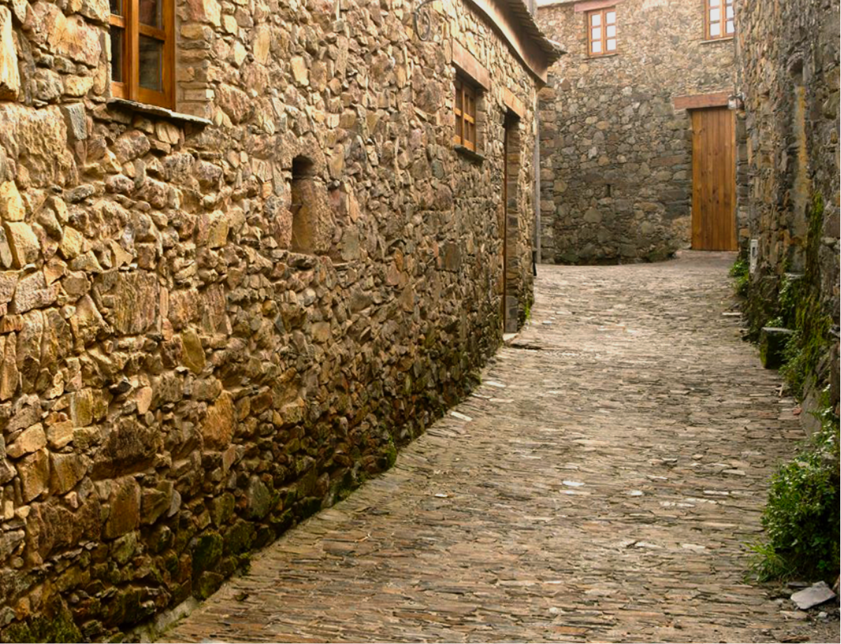
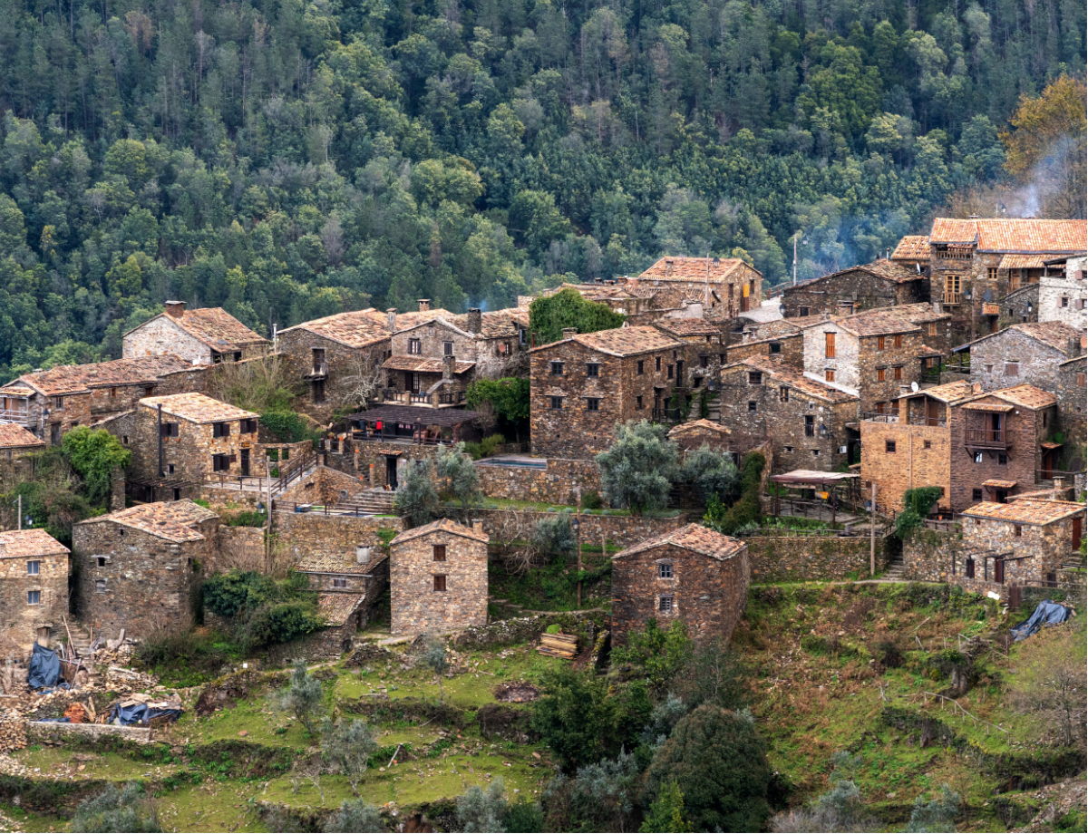
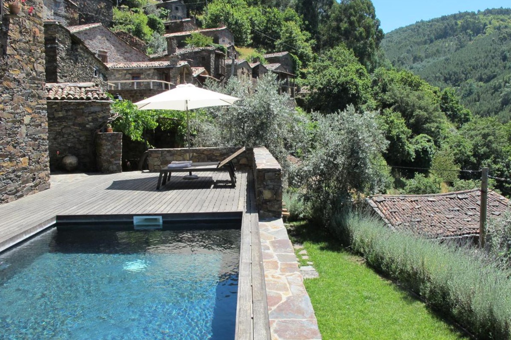
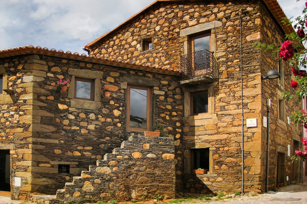
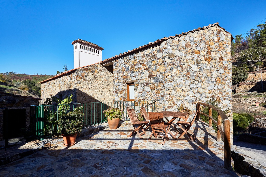
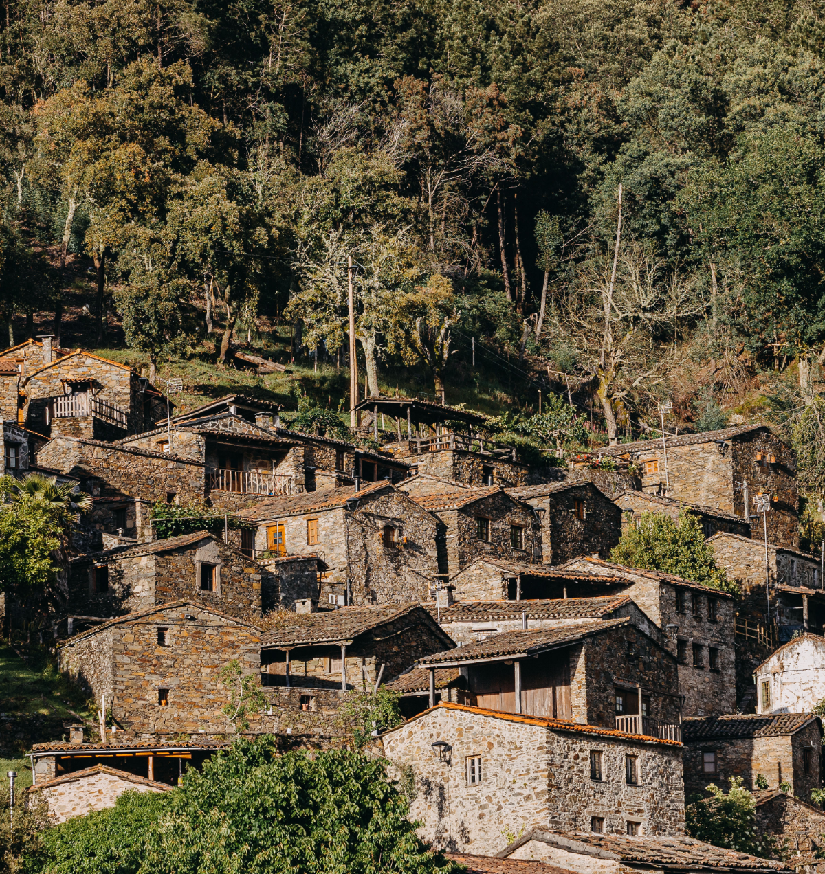
Almost half of the 27 Aldeias do Xisto are located in the territory of the serra da Lousã range: Aigra Nova, Aigra Velha, Candal, Casal de São Simão, Casal Novo, Cerdeira, Chiqueiro, Comareira, Ferraria de São João, Gondramaz, Pena and Talasnal. They are small villages, often hidden by the rich vegetation that surrounds them, surrounded by schist and quartzite.
Mystical, artistic and active
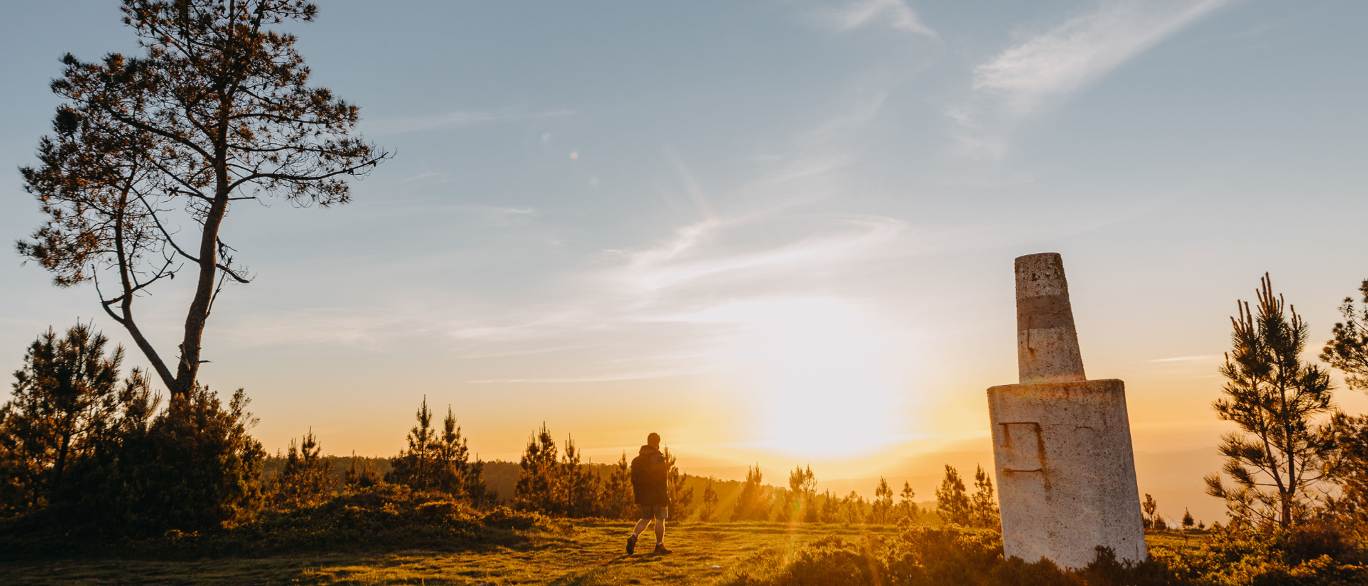
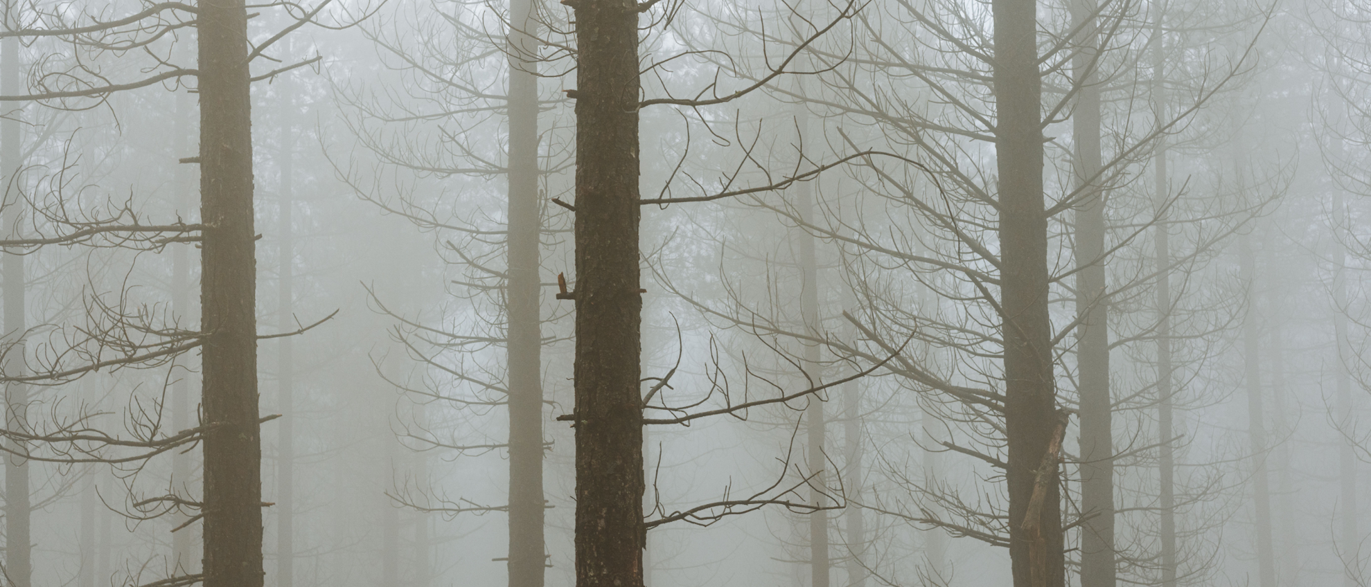
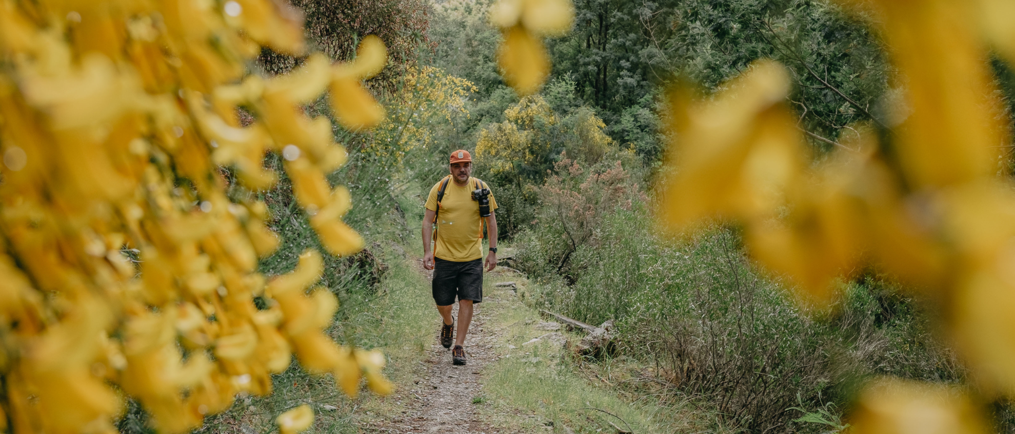
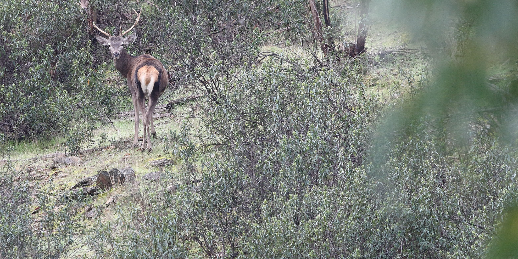
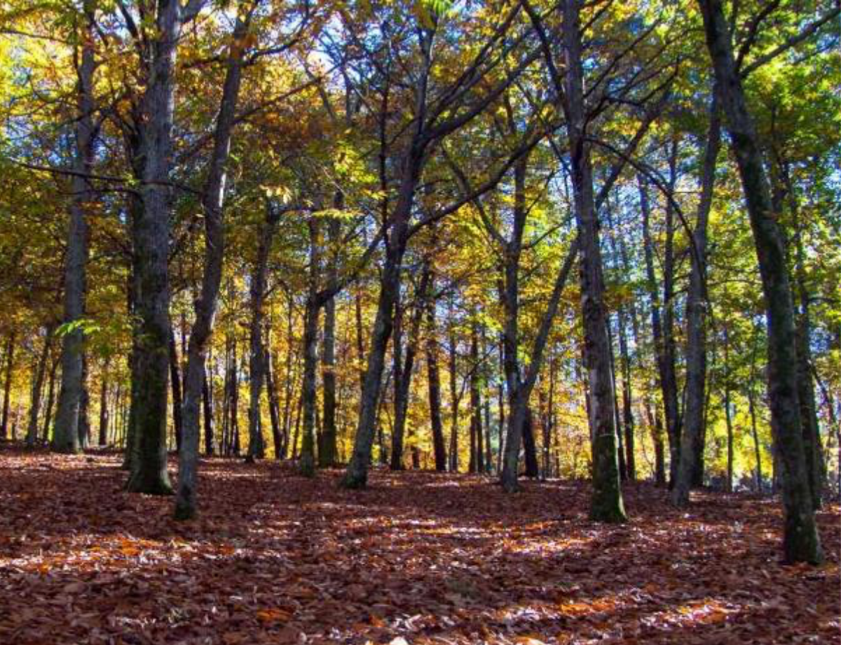
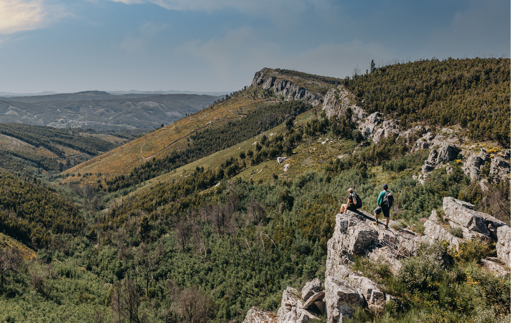
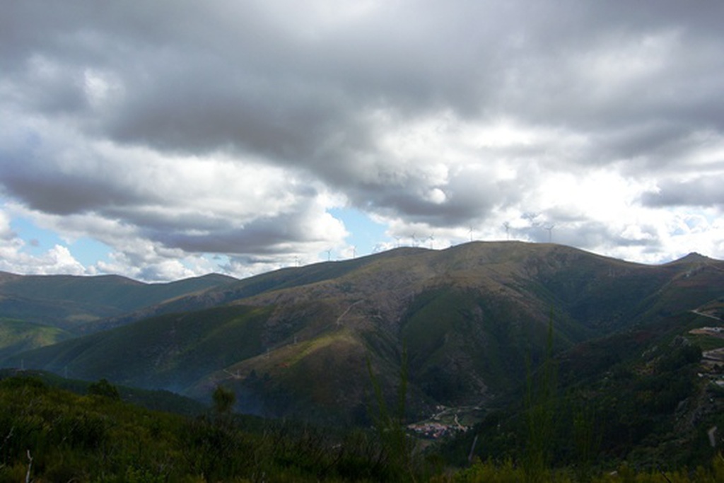
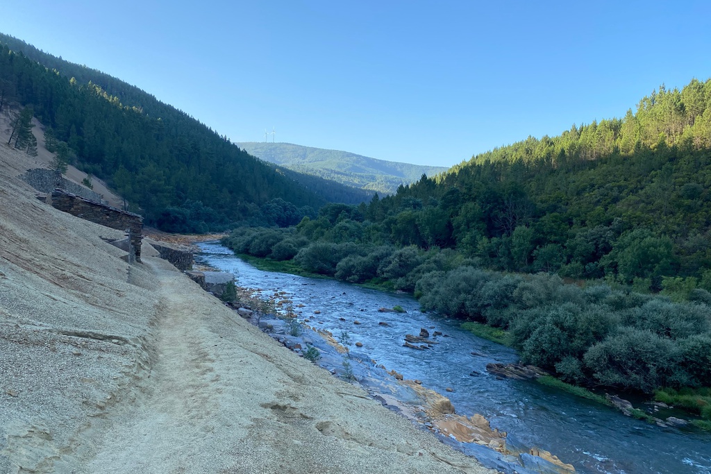
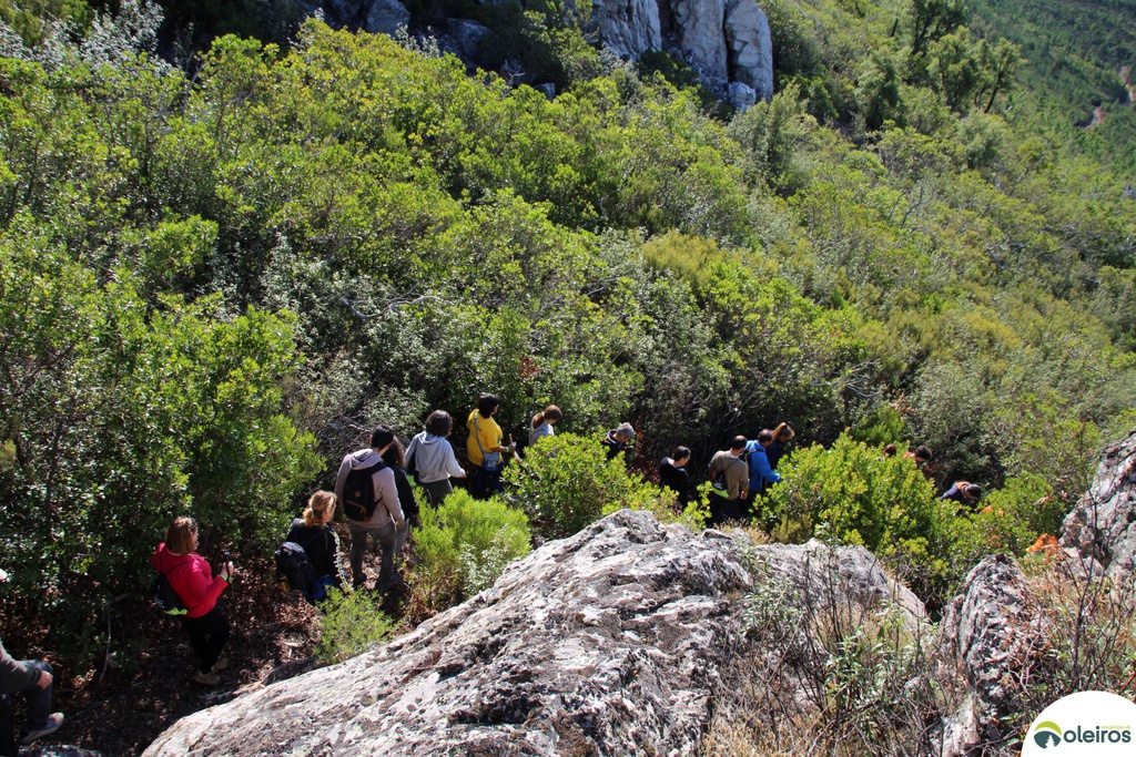
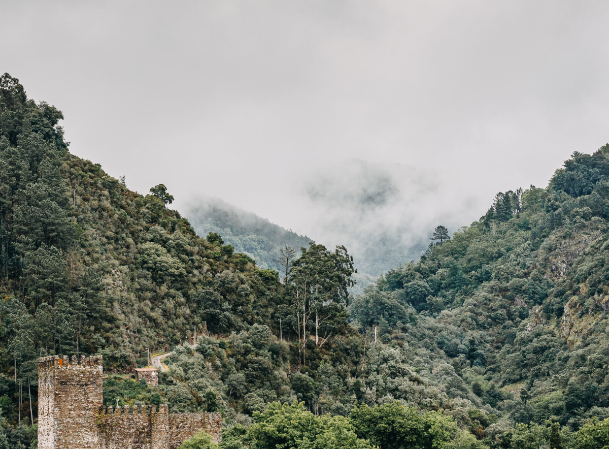
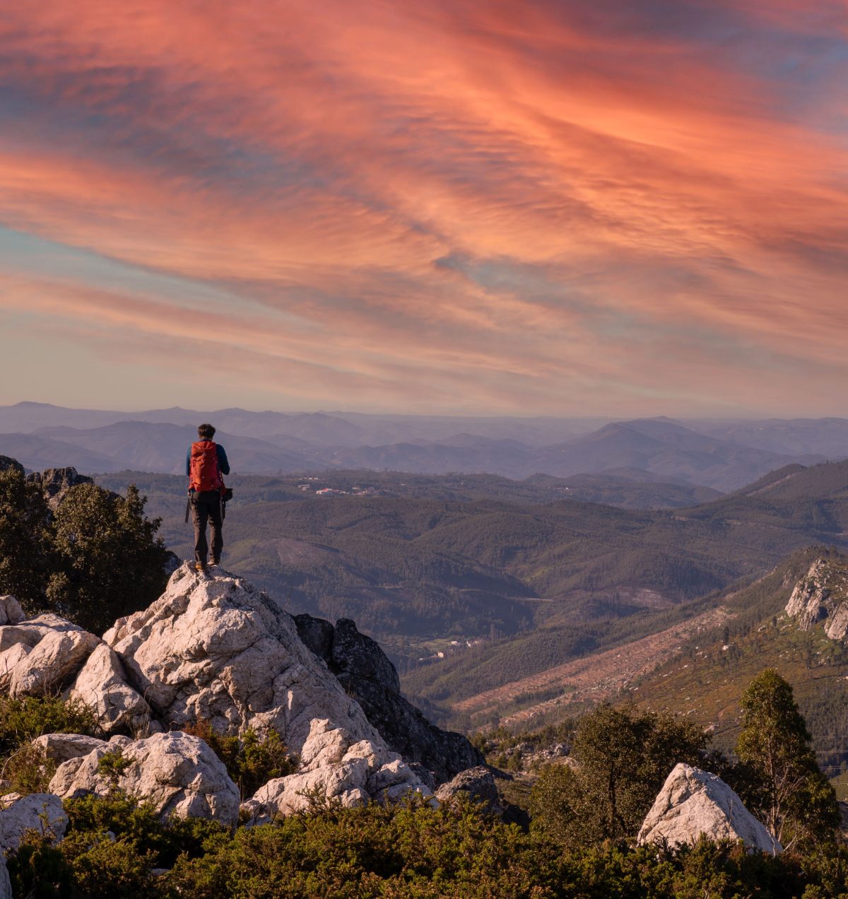
The Serra da Lousã has a very special mystique. The peaks and valleys covered in green, often shrouded in mist, give it an aura of magic and mystery that, together with the creative, artistic, cultural and sporting variety of offer, have been attracting more and more people to this region. It is home to red deer, wild boar and roe deer that peek through the cork oaks, chestnut trees, oaks and, of course, pines. It is crossed by numerous hiking/mountain biking trails and paths that lead to St. António da Neve, Alto do Trevim, Lousã Castle or to the Shrine of Our Lady of Mercy... not forgetting the river beaches.
Geography
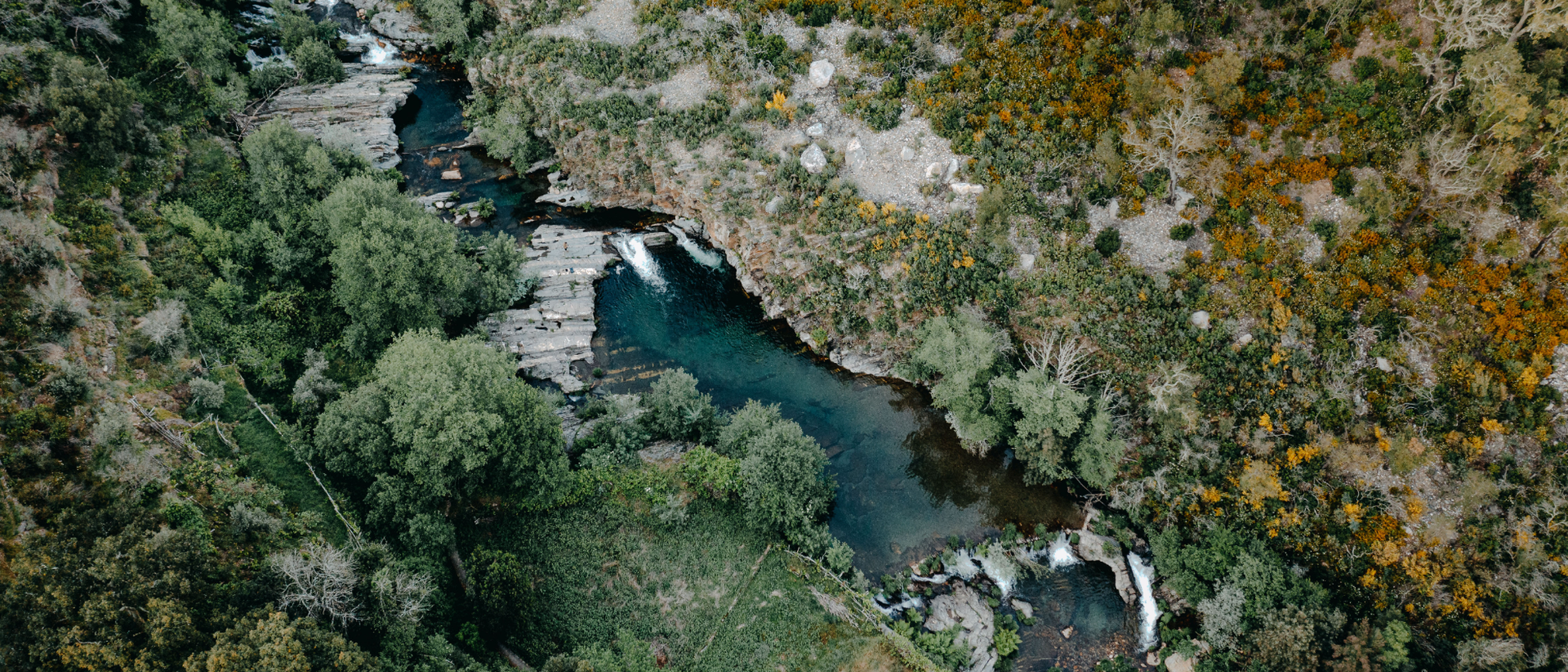
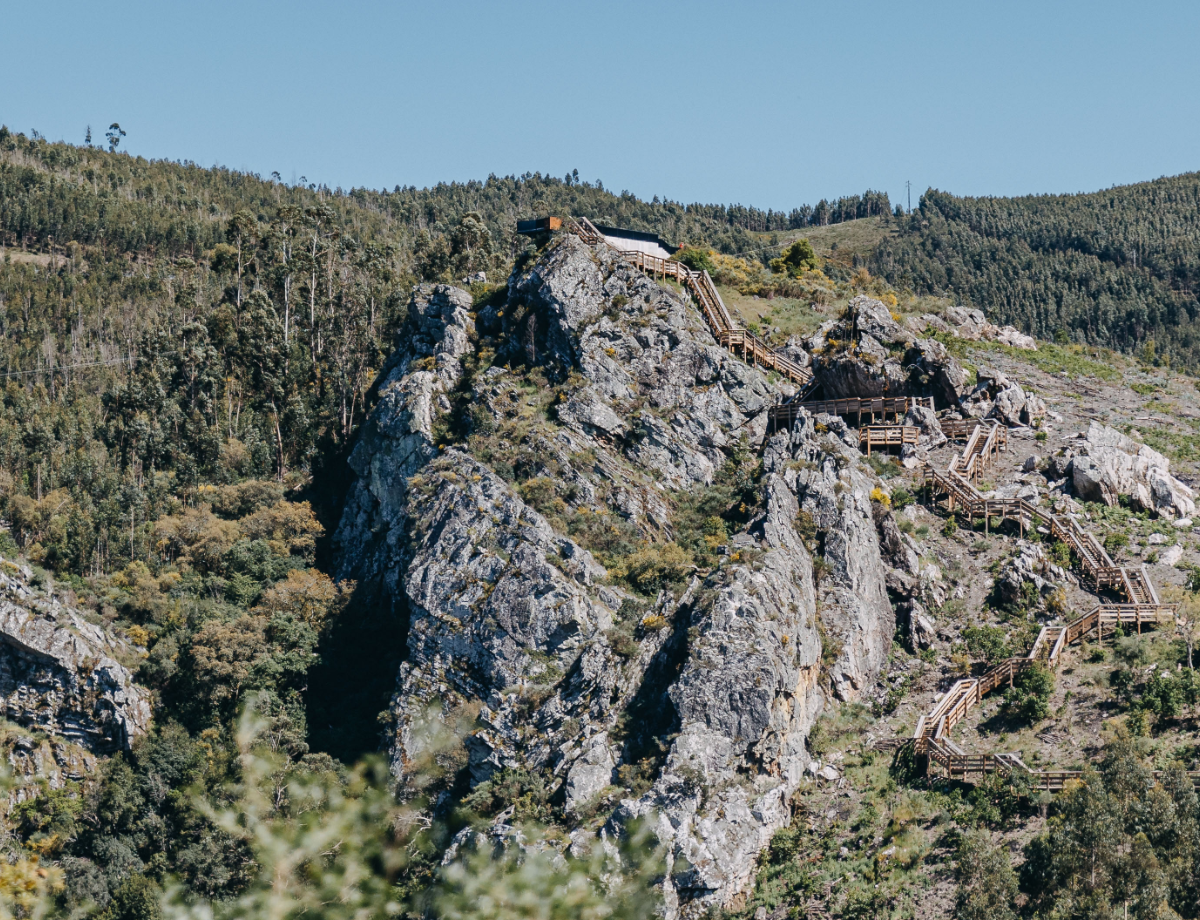
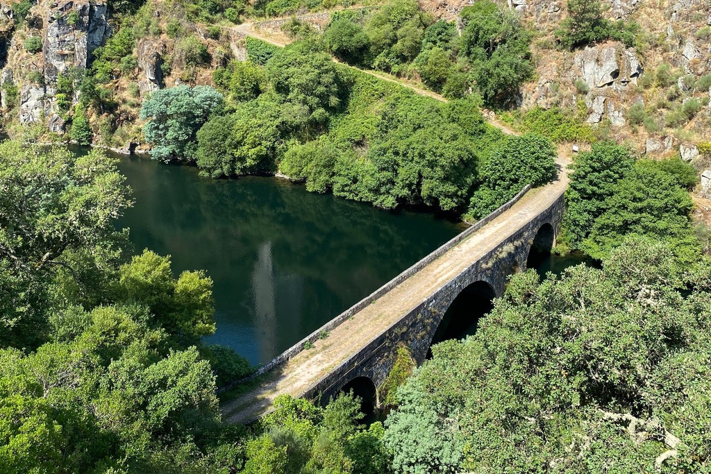
The Serra da Lousã, together with the Serra do Açor and the Serra da Estrela, form the most imposing of Portugal’s mountain ranges: the Central Cordillera, located at its south-western extremity. Formed primarily of Pre-Cambrian schist, it is therefore geologically very old. These mountain ranges also form the watershed between the river basins of the Mondego and the Tagus. The Serra da Lousã includes the counties of Castanheira de Pera, Figueiró dos Vinhos, Góis, Lousã, Miranda do Corvo and Penela. It slopes steeply down to almost flat plains that stretch northwest. It is deeply incised by watercourses, the most important of which are the Ribeira de Pena to the north, the Ribeira de São João to the northwest, and the Ribeira de Pera and Ribeira de Alge to the south. To the east looms the quartzite ridge of the Penedos de Góis. However, its highest point is Alto do Trevim at 1204 metres.
Natura 2000 Network
Serra da Lousã is part of the Natura 2000 Network, which aims to ensure the long-term conservation of Europe’s most threatened species and habitats. Its 15,158 hectares include the flattened peaks of the Serra da Lousã, the quartzite formation of the Penedos de Góis (1048 metres) and the Mata do Sobral, an area of cork oak forest to the north in the Serra de Sacões mountain range. It includes the highest parts of the counties of Castanheira de Pera, Figueiró dos Vinhos, Góis, Lousã and Miranda do Corvo.
Fauna and Flora
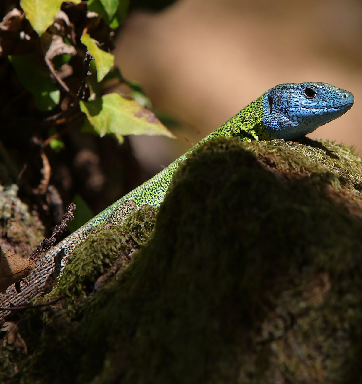
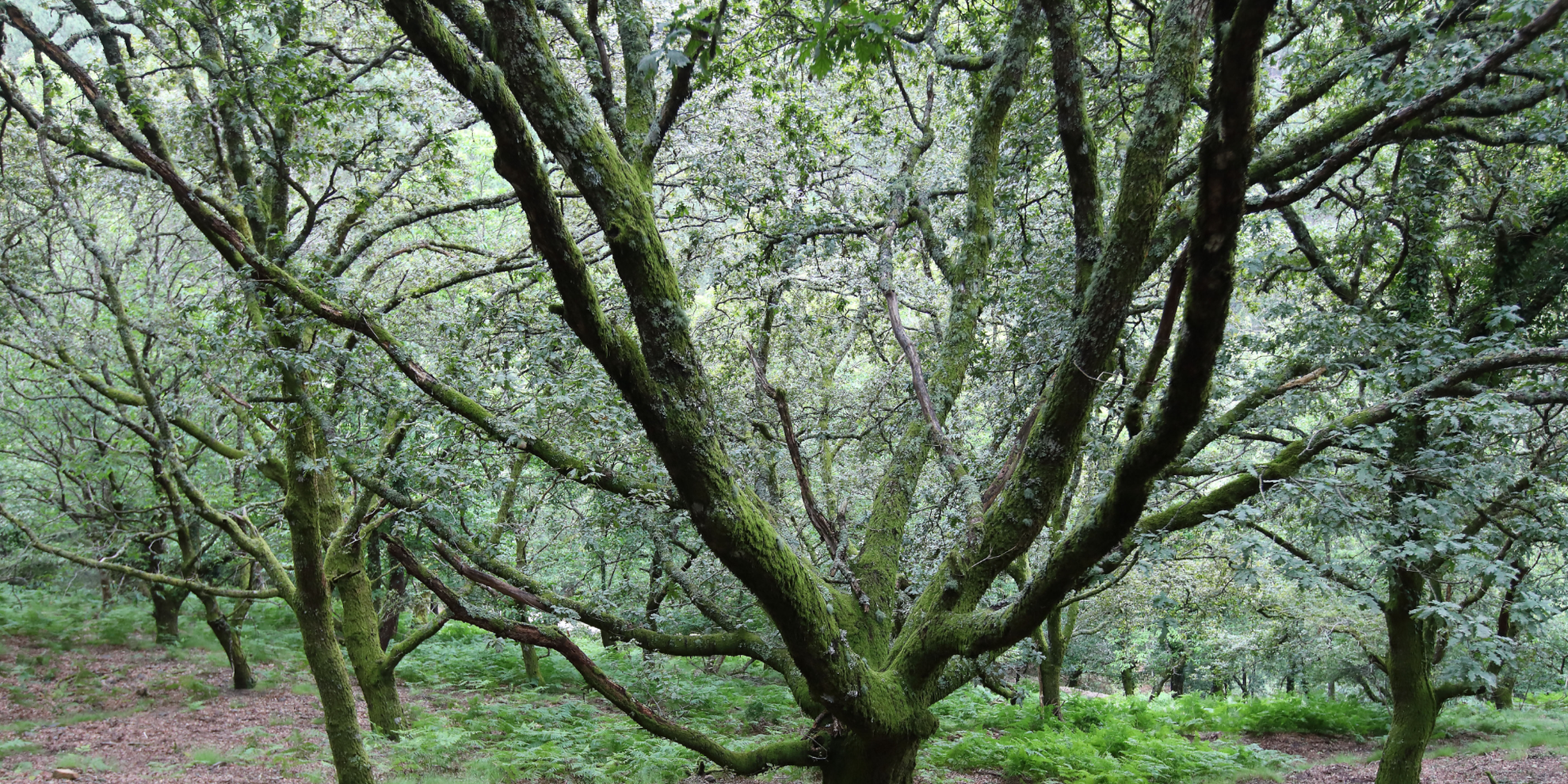
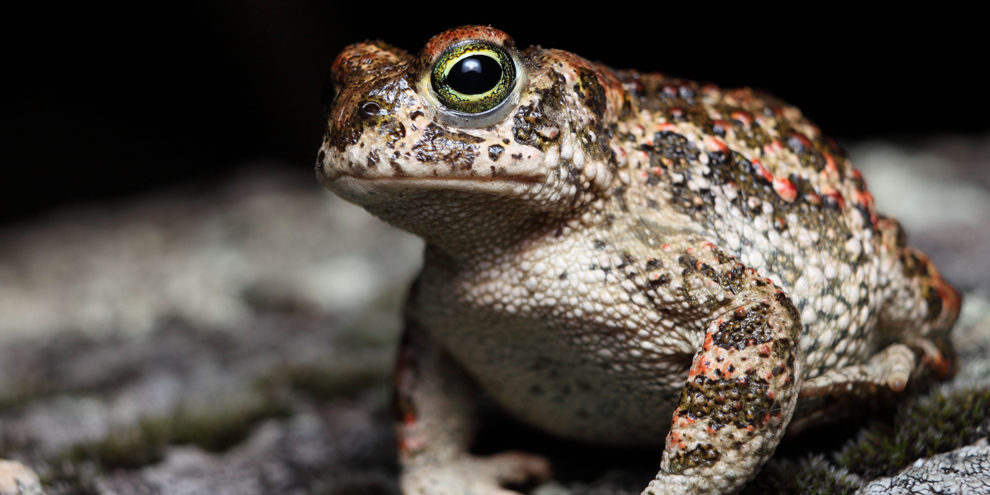
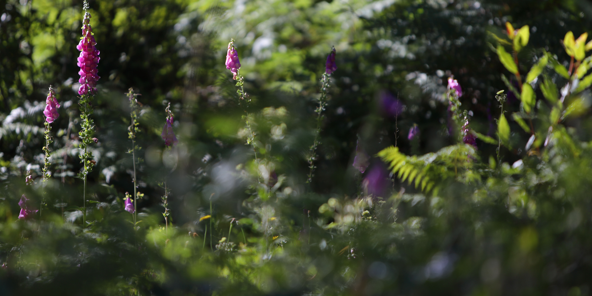
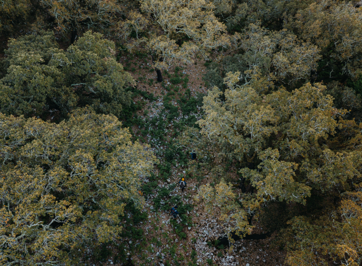
With a rugged terrain and climatic variations, the vegetation is very diverse. The holm oak occurs in the highest, sunny and driest areas, the cork oak in the sunniest areas and the chestnuts and oaks in the wettest and coldest areas. With the deeply incised watercourses are associated well-preserved habitats, notably the communities of Portuguese laurel cherry and the rarely occurring holly, of great importance for certain species of fauna. Science suggests that the gold-striped salamander (Chioglossa lusitanica) originated here. There is also a very significant population of red and roe deer.
